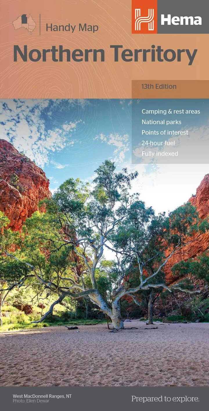
Hema Northern Territory Handy Map (13th Edition)
In Stock - In Stock at Supplier - Item Ships in 2-5 business days
Special Order Item - Terms and Conditions apply.
Need it fast? Contact us to confirm lead times.
Pickup currently unavailable.
Buy Now, Pay Later.


DETAILS
Overview
The Territory from the Top End to the Red Centre
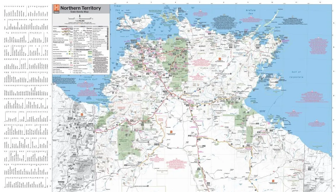
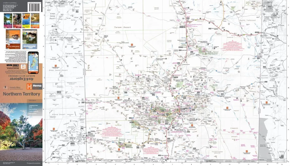
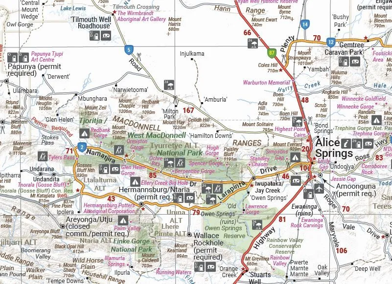
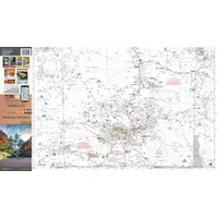
Touring the Top End or heading for the Red Centre? Hema's Northern Territory Handy Map covers the whole Territory on one compact sheet, with the camps, fuel and tracks you need out there.
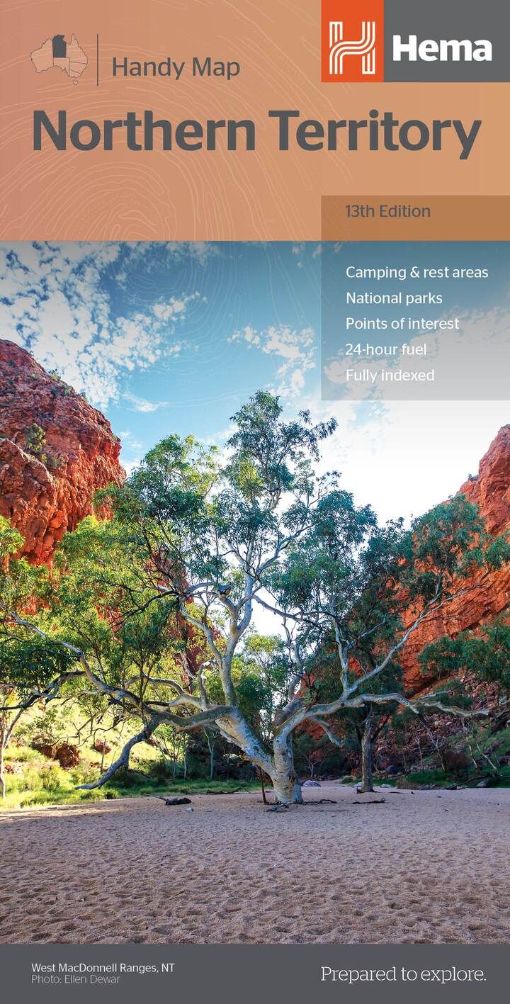
Hema Maps has been mapping Australia since 1983. The Handy Map is the compact size in Hema's state map range, easy to keep within reach.
What's on the map
Camps, fuel and 4WD tracks
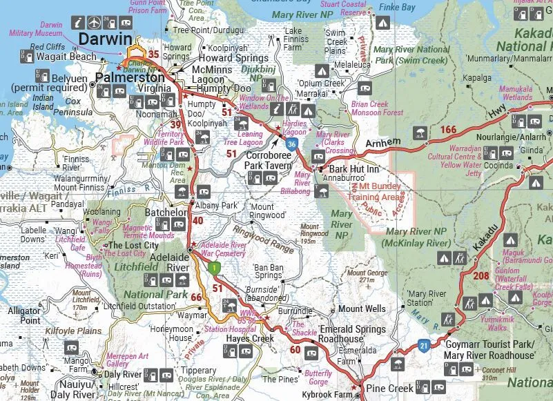
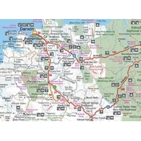
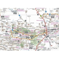
Camping and rest areas, 24-hour fuel, 4WD tracks, historic sites and points of interest are marked across the Territory, on GPS-surveyed roads and tracks.
- ✓Camping and rest areas
- ✓24-hour fuel and fuel stops
- ✓4WD tracks and historic sites
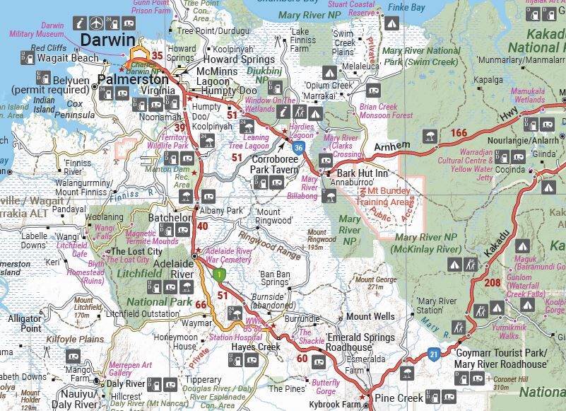
Through-road maps
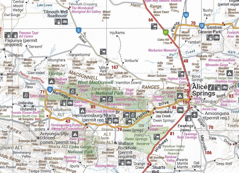
Darwin and Alice Springs covered
The reverse has through-road maps of Darwin and Alice Springs and a map of the greater Darwin region, so you can get through town and back on the road.
Plan before you go
Parks and contacts on hand
A national park matrix shows what each park offers, and contact details for information centres are listed. The map is fully indexed, so towns are quick to find.
Frequently asked questions
Which edition is this?
This is the 13th edition (ISBN 9781925625684).
Does it show 4WD tracks?
Yes. 4WD tracks are marked along with GPS-surveyed roads, fuel stops and camping areas.
Are there town maps?
Yes. The reverse has through-road maps of Darwin and Alice Springs and a map of the greater Darwin region.
How big is it?
It folds to 125 x 250 mm and opens out to 875 x 500 mm.
Is it waterproof?
No. Hema lists this map as standard paper.
Pairs well with


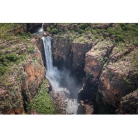
Litchfield, Katherine Gorge and Kakadu national parks in detail.
$15.95 · View

Features
- ✓Whole of the Northern Territory at 1:1,750,000
- ✓GPS-surveyed roads and tracks
- ✓4WD tracks and historic sites
- ✓Camping and rest areas
- ✓24-hour fuel and fuel stops
- ✓Darwin and Alice Springs through-road maps
- ✓Greater Darwin region map
- ✓National park matrix and information centre contacts
Product Details
| SKU | 9781925625684 |
| Barcode # | 9781925625684 |
| Brand | Hema Maps |
| Shipping Weight | 0.0600kg |
| Shipping Width | 0.140m |
| Shipping Height | 0.005m |
| Shipping Length | 0.250m |
Hema Maps has been mapping Australia since 1983, with touring and 4WD maps built from tracks its own teams have driven and GPS-surveyed. Hema Maps began in 1983, when Henry and Margaret Boegheim started laminating marine charts from their family home in South East Queensland, naming the business aft...
Find Out More