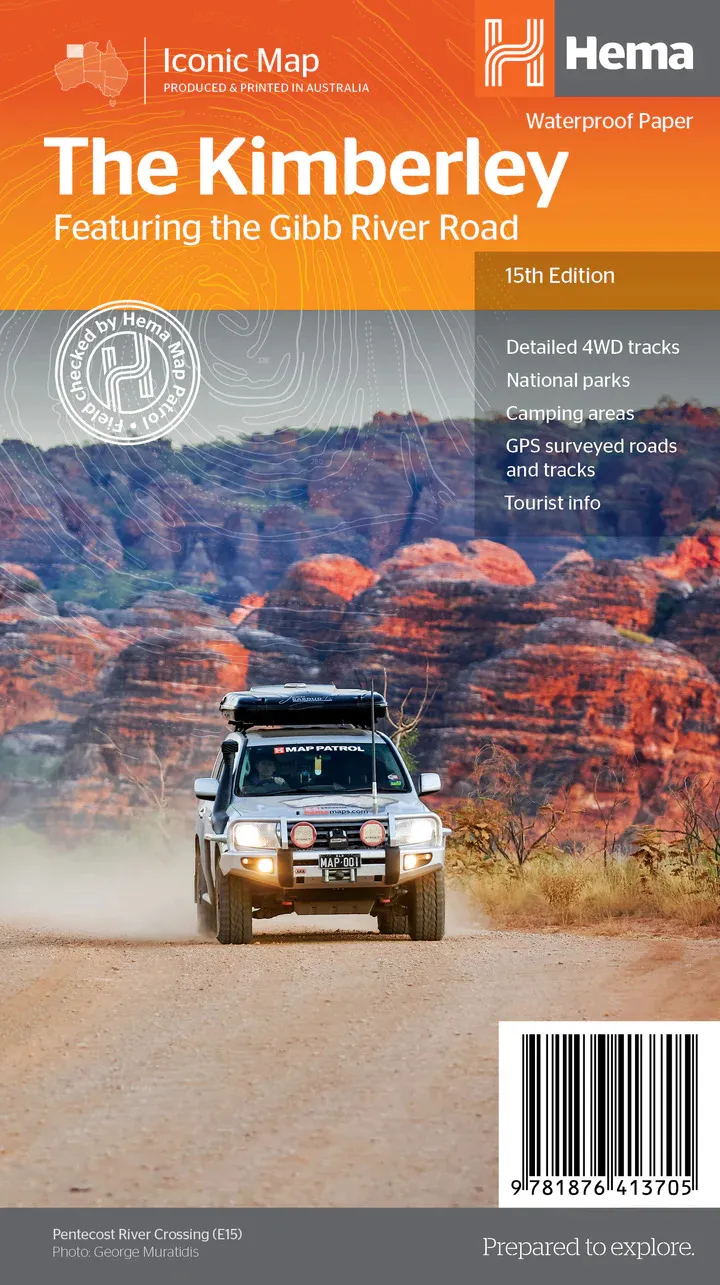
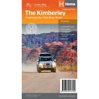
Hema The Kimberley Map - Featuring the Gibb River Road (15th Edition)
In Stock - In Stock at Supplier - Item Ships in 2-5 business days
Special Order Item - Terms and Conditions apply.
Need it fast? Contact us to confirm lead times.
Pickup currently unavailable.
Buy Now, Pay Later.


DETAILS
Overview
Drive the Gibb River Road with confidence
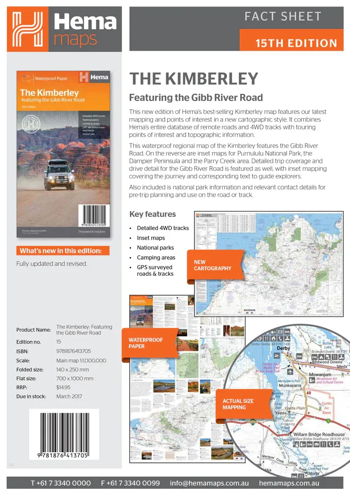
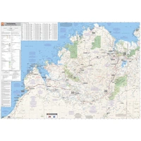
Planning the Gibb, the Bungle Bungles or a Kimberley lap? Hema's best-selling Kimberley map covers the whole region on waterproof paper, with every remote road and 4WD track in Hema's database plus drive-by-drive notes for the Gibb River Road.

Hema Maps has been mapping Australia since 1983. This map is field checked by the Hema Map Patrol, with GPS-surveyed roads and tracks.
What's on the map
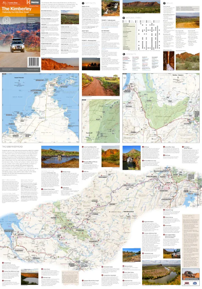
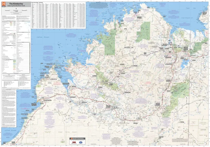
The Kimberley, front and back
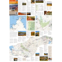
The main map combines Hema's remote roads and 4WD tracks with touring points of interest and topographic detail. On the reverse are inset maps of Purnululu National Park, the Dampier Peninsula and the Parry Creek area, plus Gibb River Road trip coverage with matching drive notes.
- ✓Detailed 4WD tracks
- ✓GPS-surveyed roads and tracks
- ✓National parks and camping areas
- ✓National park information and contacts

Gibb River Road

Numbered stops along the way
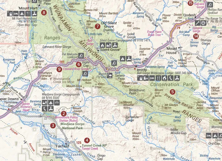
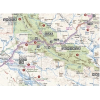
Along the Gibb River Road, numbered points link the map to the drive notes, covering gorges, campgrounds, homesteads and lookouts through the King Leopold Ranges and past Windjana Gorge.
- ✓Campgrounds, lookouts and walks marked
- ✓Distances between points along the road
The East Kimberley
Kununurra, Wyndham and El Questro
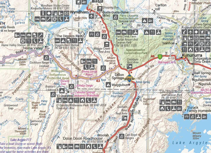
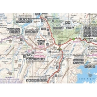
In the east, the map covers Kununurra, Wyndham, El Questro and Lake Argyle, with stations, roadhouses, campgrounds and visitor facilities shown with clear symbols.
- ✓Printed on waterproof paper
- ✓Folds to 140 x 250 mm for the glovebox

Frequently asked questions
Is the map waterproof?
Yes. It is printed on waterproof synthetic paper.
Which edition is this?
This is the 15th edition (ISBN 9781876413705).
Does it cover the Bungle Bungles?
Yes. There is an inset map of Purnululu National Park, home of the Bungle Bungle Range.
Is it good for the Gibb River Road?
Yes. The Gibb River Road is featured with inset mapping and drive notes to guide you along the way.
Pairs well with


Head south to Shark Bay, Ningaloo Reef and the Pilbara on your WA lap.
$15.95 · View

Features
- ✓Features the iconic Gibb River Road
- ✓Gibb River Road inset mapping and drive notes
- ✓Purnululu National Park inset
- ✓Dampier Peninsula and Parry Creek insets
- ✓Detailed 4WD tracks
- ✓GPS-surveyed roads and tracks
- ✓National parks and camping areas
- ✓National park information and contacts
- ✓Waterproof synthetic paper
Product Details
| SKU | 9781876413705 |
| Barcode # | 9781876413705 |
| Brand | Hema Maps |
| Shipping Weight | 0.0900kg |
| Shipping Width | 0.140m |
| Shipping Height | 0.005m |
| Shipping Length | 0.250m |