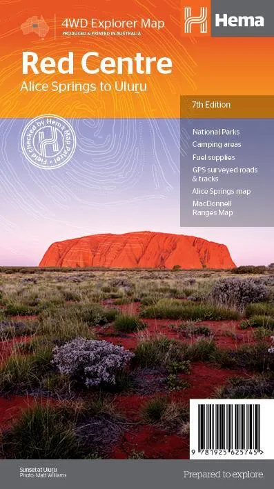
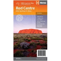
Hema The Red Centre Map - Alice Springs to Uluru (7th Edition)
In Stock - In Stock at Supplier - Item Ships in 2-5 business days
Special Order Item - Terms and Conditions apply.
Need it fast? Contact us to confirm lead times.
Pickup currently unavailable.
Buy Now, Pay Later.


DETAILS
Overview
Plan and drive the Red Centre with confidence
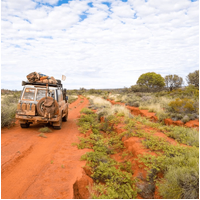
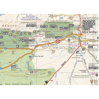
Heading to Uluru, Kings Canyon or the West Macs? This waterproof Hema map covers the heart of Australia from Alice Springs to Uluru, with every road and track you need to tour the Centre by car, caravan or 4WD.

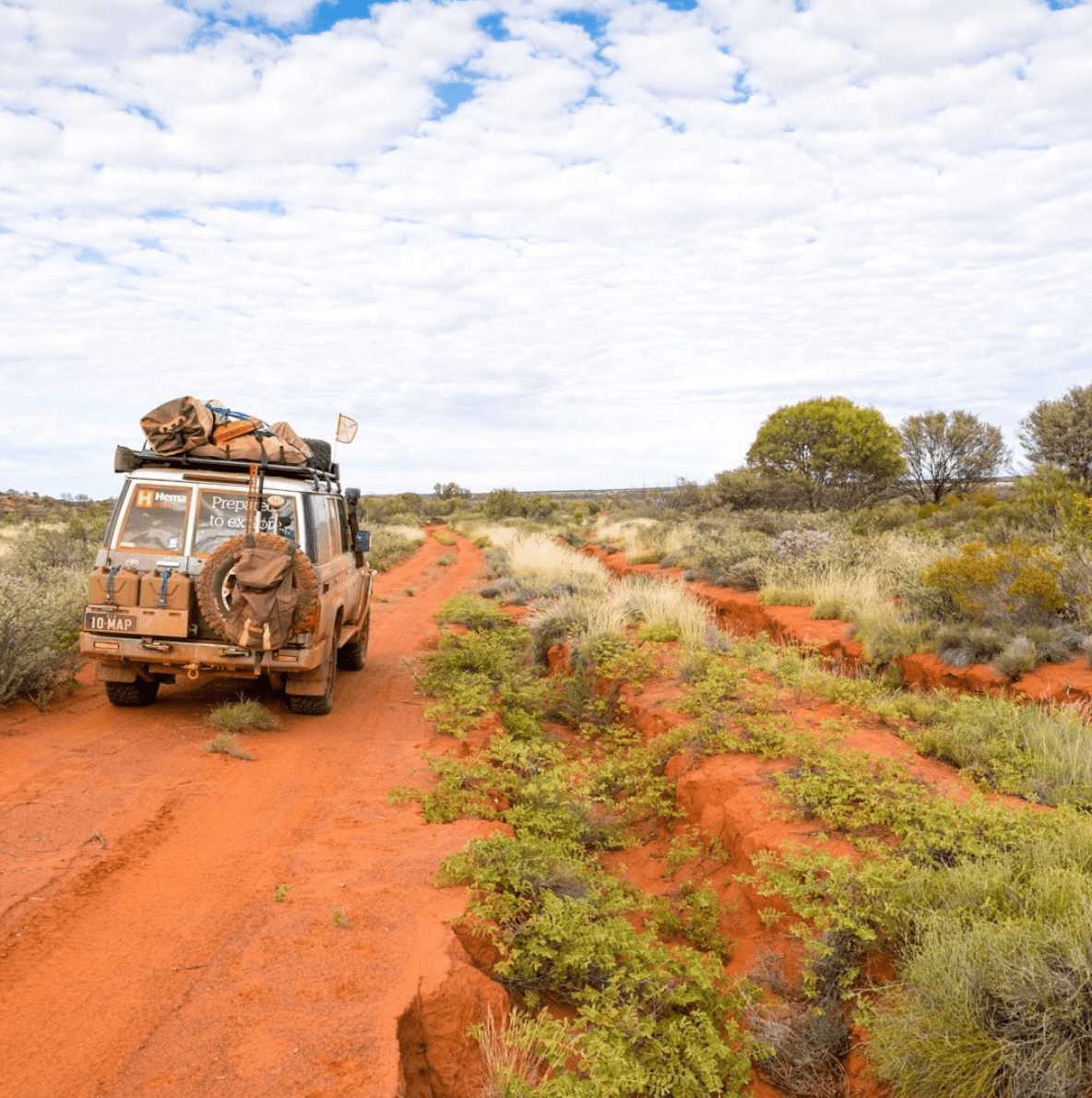
Hema Maps has been mapping Australia since 1983. This map is field checked by the Hema Map Patrol, the team that drives Australia's roads and tracks to check the mapping first-hand.
What's on the map
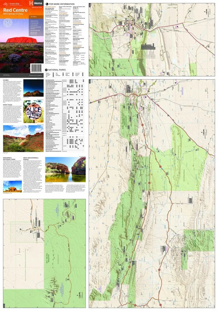
Alice Springs to Uluru on one sheet
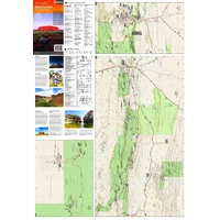
The main map takes in the area around Alice Springs, including Uluru, Kata Tjuta, the West MacDonnell Ranges and Watarrka National Park. Inset maps zoom in on the Inner Mereenie Loop, Alice Springs and Uluru-Kata Tjuta National Park.
- ✓GPS surveyed roads and 4WD tracks
- ✓Fuel stops, camping areas and historic sites
- ✓National parks table with facilities at each site
- ✓Permit information and useful contacts

Built for the track

Detail you can read on the move
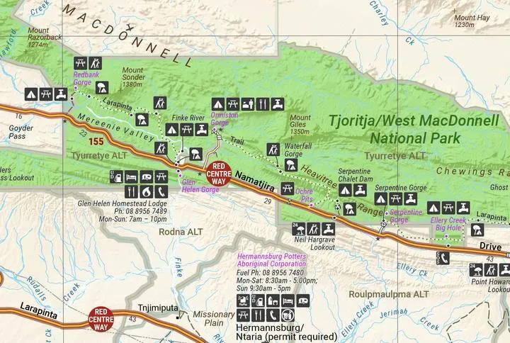
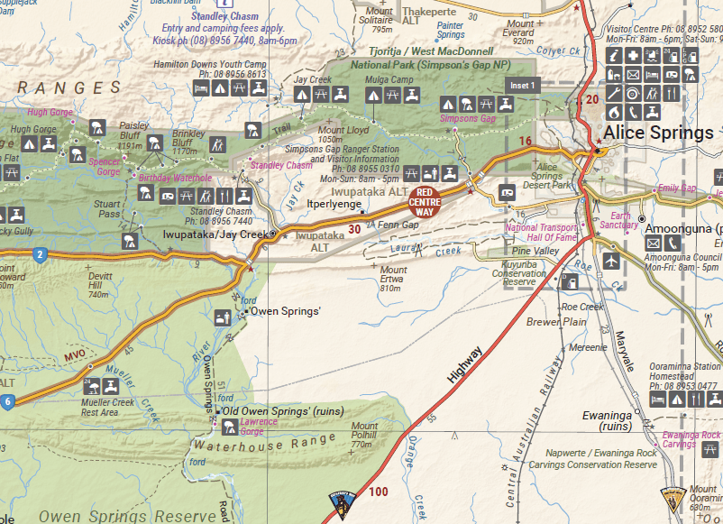
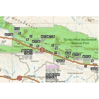
Campgrounds, picnic areas, walks, lookouts and fuel are marked with clear symbols, right along the Red Centre Way and Larapinta and Namatjira Drives. Mountain heights and road distances help you judge the day's drive before you set off.
- ✓Printed on waterproof synthetic paper
- ✓Folds to 140 x 250 mm to fit the glovebox or door pocket
Frequently asked questions
Is the map waterproof?
Yes. It is printed on waterproof synthetic paper, so it handles rain, spills and dusty, sweaty hands.
Which edition is this?
This is the 7th edition (ISBN 9781925625745). It has a larger main map scale of 1:550,000, a bigger sheet, updated facilities and points of interest, and a new Inner Mereenie Loop inset.
Does it cover Kings Canyon and the Mereenie Loop?
Yes. Watarrka National Park (Kings Canyon) is on the main map, and there is a detailed inset of the Inner Mereenie Loop.
Does it show where I need a permit?
The map includes permit information and contacts for the region. Always check current permit requirements with the relevant land council or park authority before you travel.
Is this map good for the Simpson Desert as well?
This map focuses on Alice Springs, the MacDonnell Ranges, Watarrka and Uluru. For a desert crossing, pair it with the Hema Simpson Desert map below.
Pairs well with

The wider region at 1:1,500,000, from Alice Springs to the Simpson Desert.
$15.95 · View

Simpson Desert crossings, with tracks field checked by the Hema Map Patrol.
$15.95 · View

Features
- ✓Covers Alice Springs, Uluru, Kata Tjuta, the West MacDonnell Ranges and Watarrka
- ✓Main map at 1:550,000 for clear touring detail
- ✓Insets for the Inner Mereenie Loop, Alice Springs and Uluru-Kata Tjuta National Park
- ✓GPS surveyed roads and 4WD tracks
- ✓Fuel stops, camping areas and historic sites marked
- ✓Field checked by the Hema Map Patrol
- ✓Permit information, contacts and history of key sights
- ✓Waterproof synthetic paper, produced and printed in Australia
Product Details
| SKU | 9781925625745 |
| Barcode # | 9781925625745 |
| Brand | Hema Maps |
| Shipping Weight | 0.0900kg |
| Shipping Width | 0.140m |
| Shipping Height | 0.005m |
| Shipping Length | 0.250m |