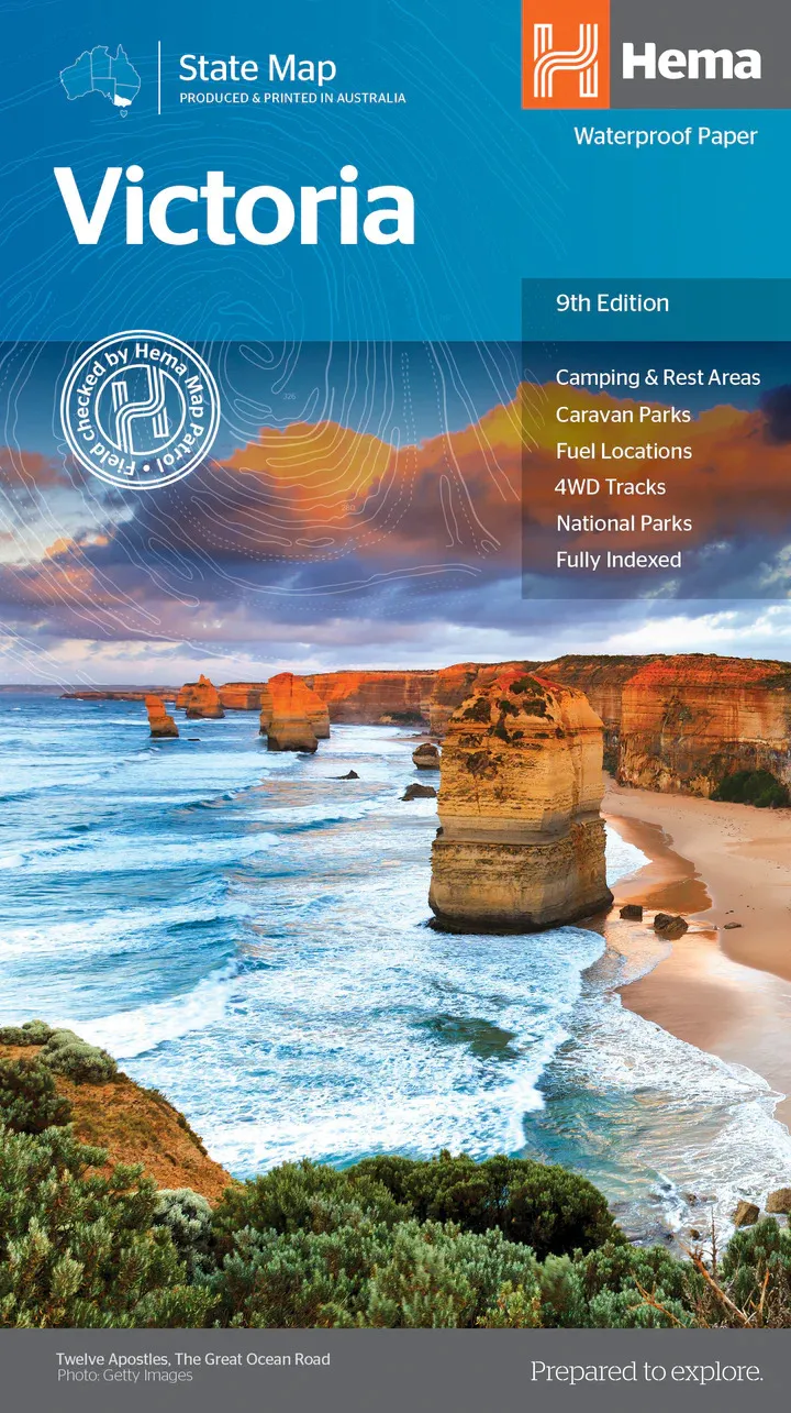
Hema Victoria State Map (9th Edition)
In Stock - In Stock at Supplier - Item Ships in 2-5 business days
Special Order Item - Terms and Conditions apply.
Need it fast? Contact us to confirm lead times.
Pickup currently unavailable.
Buy Now, Pay Later.


DETAILS
Overview
Tour Victoria end to end
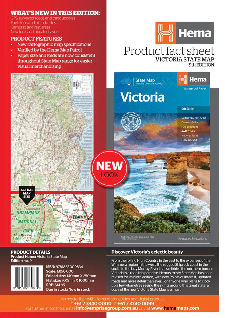
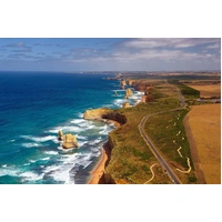
Planning the Great Ocean Road, a High Country weekend or a run along the Murray? Hema's Victoria State Map shows the whole state on one waterproof sheet, with camping and rest areas, caravan parks, fuel and 4WD tracks marked.

Hema Maps has been mapping Australia since 1983. This edition is verified by the Hema Map Patrol, with GPS-surveyed roads and track updates.
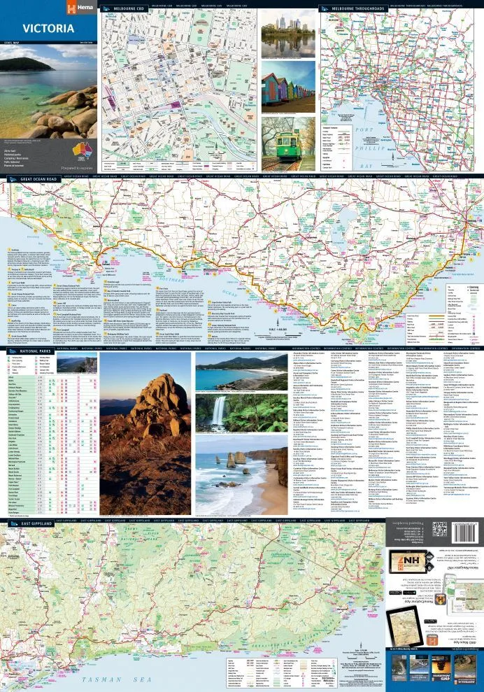
On the reverse
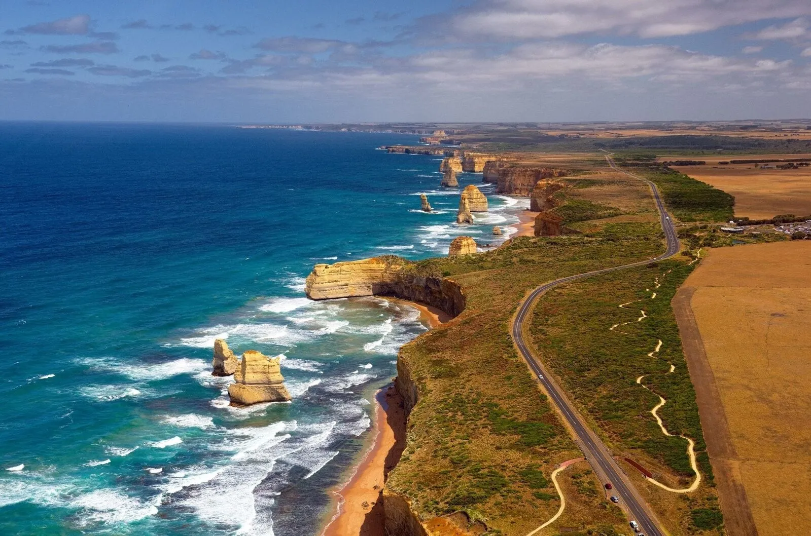
Melbourne, the Great Ocean Road and East Gippsland
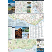
The reverse side has CBD, regional and through-road maps of Melbourne, plus maps of the Great Ocean Road and East Gippsland. There is also a national park matrix and a list of accredited information centres.
- ✓Melbourne CBD, region and through-road maps
- ✓Great Ocean Road and East Gippsland maps
- ✓National park matrix

What's on the map

Everything you need for touring
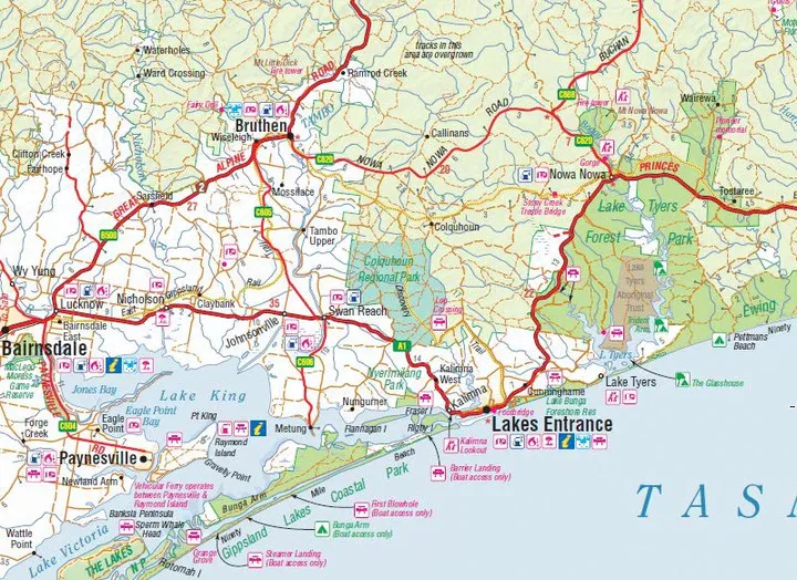
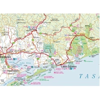
Camping and rest areas, caravan parks, 24-hour fuel, 4WD tracks, national parks and points of interest are all marked on the main map, from the Gippsland Lakes to the South Australian border.
- ✓Camping and rest areas
- ✓Caravan parks and fuel locations
- ✓4WD tracks and national parks
- ✓Fully indexed
Getting in and out of town
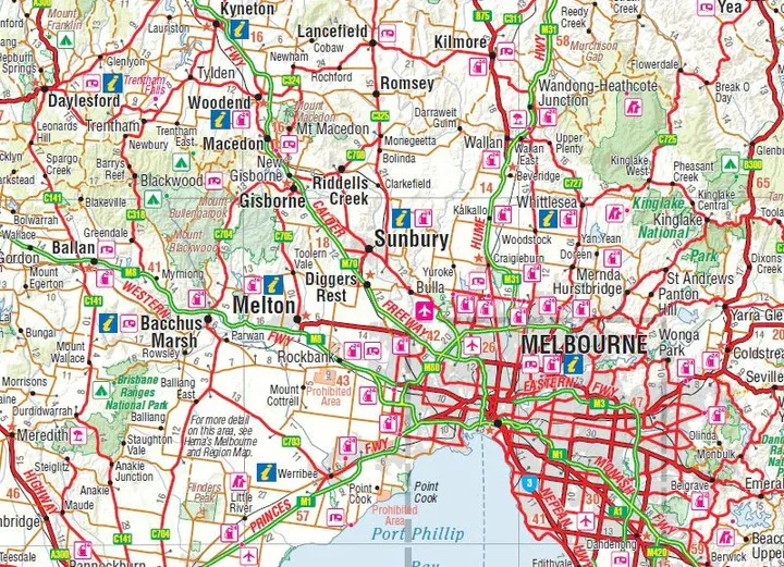
Clear roads around Melbourne
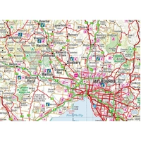
Around Melbourne, freeways, highways and major roads are shown clearly, with fuel, camping and visitor information marked across the surrounding towns and ranges.
- ✓Printed on waterproof paper
- ✓Folds to 140 x 250 mm for the glovebox

Frequently asked questions
Is the map waterproof?
Yes. It is printed on waterproof paper.
Which edition is this?
This is the 9th edition, at a scale of 1:850,000.
Does it include the Great Ocean Road?
Yes. The reverse side has a dedicated Great Ocean Road map, along with East Gippsland and Melbourne maps.
Does it show 4WD tracks?
Yes, 4WD tracks are marked. For High Country touring, pair it with the Hema Victorian High Country map below.
Pairs well with


Hema's best-selling map of the Victorian High Country, on waterproof paper.
$15.95 · View

The Hume and Princes highways between Melbourne and Sydney.
$15.95 · View
Features
- ✓Covers the whole of Victoria at 1:850,000
- ✓Camping and rest areas
- ✓Caravan parks and 24-hour fuel
- ✓4WD tracks and national parks
- ✓Melbourne CBD, region and through-road maps
- ✓Great Ocean Road and East Gippsland maps
- ✓National park matrix and information centres
- ✓Verified by the Hema Map Patrol
- ✓Waterproof paper, fully indexed
Product Details
| SKU | 9781865009834 |
| Barcode # | 9781865009834 |
| Brand | Hema Maps |
| Shipping Weight | 0.0900kg |
| Shipping Width | 0.140m |
| Shipping Height | 0.005m |
| Shipping Length | 0.250m |