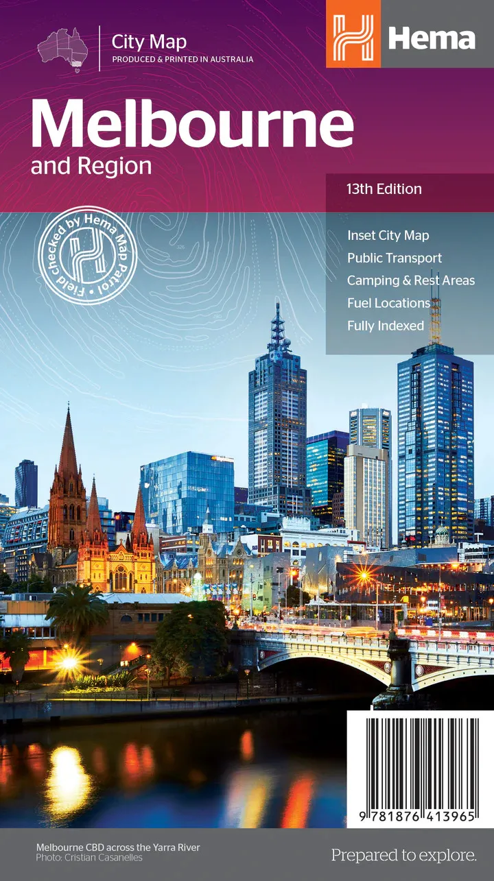
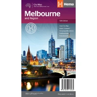
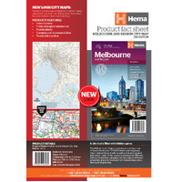
Hema Melbourne & Region Map - City Map (13th Edition)
In Stock - In Stock at Supplier - Item Ships in 2-5 business days
Special Order Item - Terms and Conditions apply.
Need it fast? Contact us to confirm lead times.
Pickup currently unavailable.
Buy Now, Pay Later.


DETAILS
Overview
Melbourne and surrounds, made simple
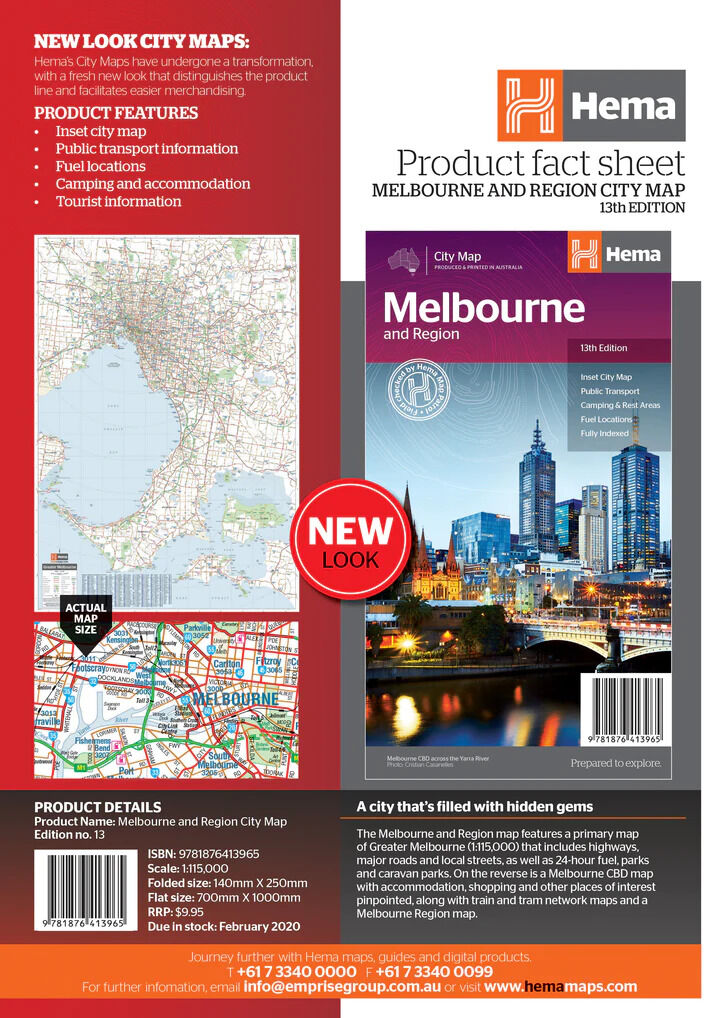
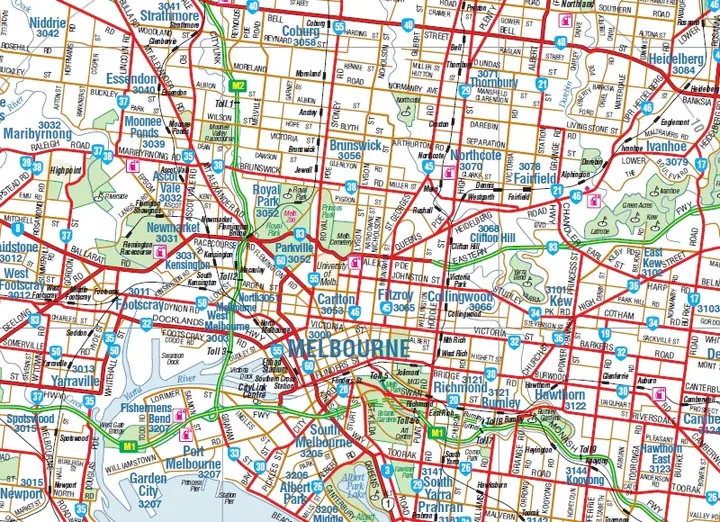
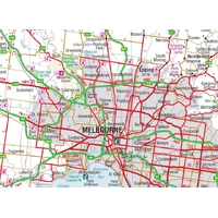
Collecting the new van, catching the ferry or just getting through town? This Hema map shows Greater Melbourne's highways, major roads and local streets, with a CBD map and the tram and train networks on the reverse.

Hema Maps has been mapping Australia since 1983. Its maps are produced and printed in Australia, and Hema's Map Patrol team drives the roads and tracks to field-check the mapping.
What's on the map
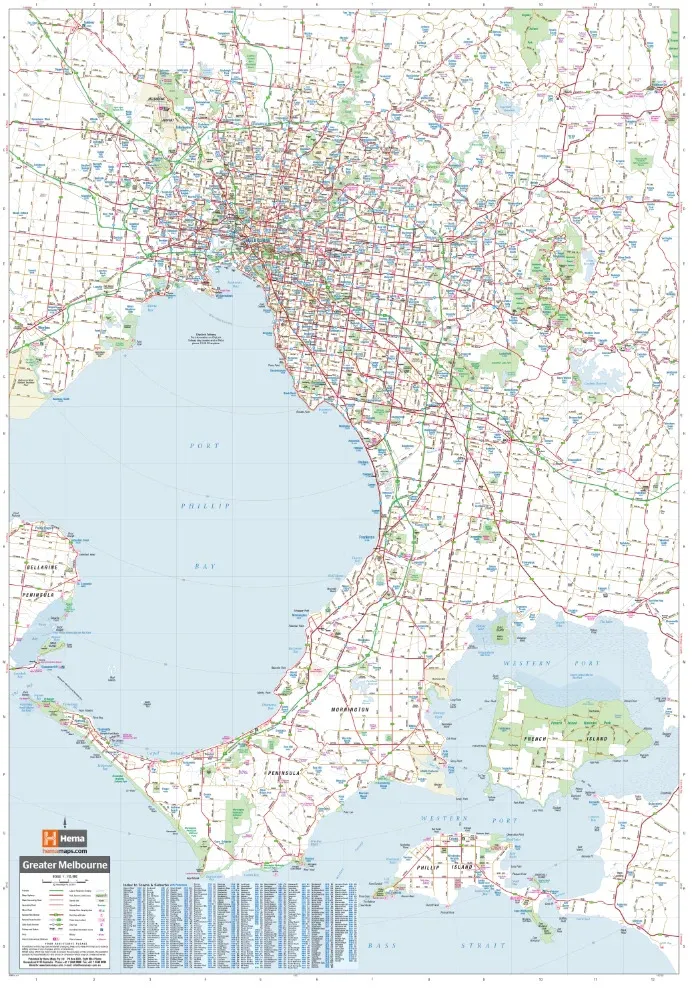
Greater Melbourne on one side
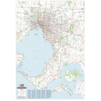
The primary map covers Greater Melbourne around Port Phillip Bay at 1:115,000, from the outer suburbs down to the Mornington Peninsula. A suburbs index runs down the side.
- ✓Highways, major roads and local streets
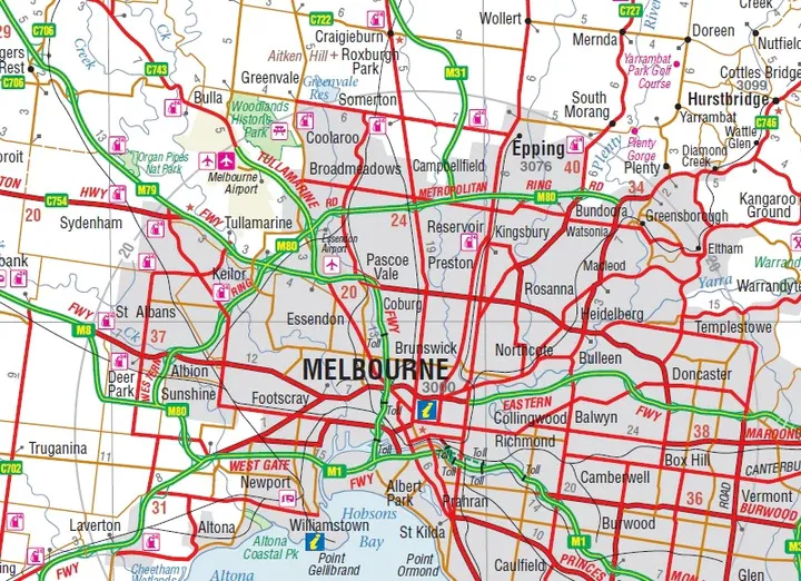
- ✓24-hour fuel, parks and caravan parks
- ✓Suburbs index

Built for the drive

Freeways and turn-offs at a glance
Freeways, toll roads and route numbers stand out clearly, so you can pick the easiest way through with a van on the back. Fuel and caravan park symbols are marked across the suburbs.
- ✓Freeway and route numbers
- ✓Toll roads shown
- ✓Railway stations and tram lines
The reverse side
CBD, trams, trains and the region
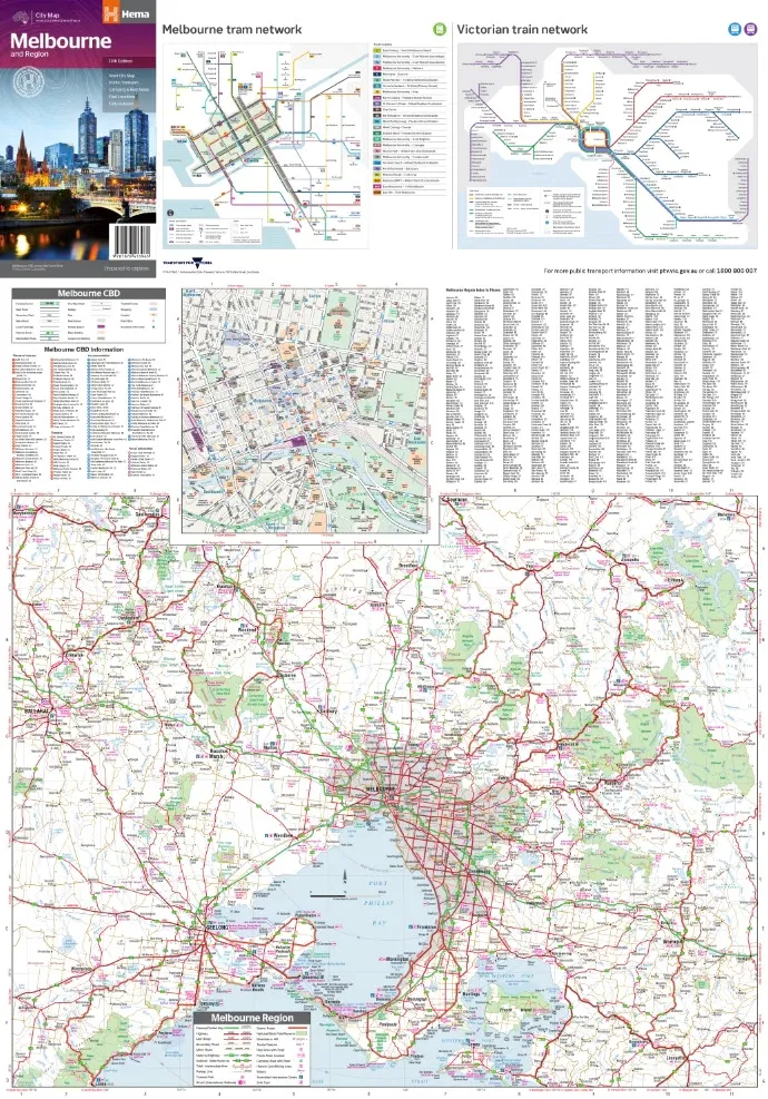
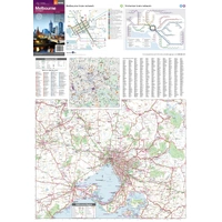
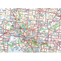
Flip it over for a Melbourne CBD map with accommodation, shopping and places of interest, the Melbourne tram network, the Victorian train network and a Melbourne Region map.
- ✓Melbourne CBD map
- ✓Tram and train network maps
- ✓Melbourne Region map
- ✓Theatres, cinemas and sporting venues

Frequently asked questions
Which edition is this?
This is the 13th edition of Hema's Melbourne & Region map (ISBN 9781876413965).
Does it show the tram network?
Yes. The reverse has Melbourne tram and Victorian train network maps.
Are caravan parks and fuel marked?
Yes. The Greater Melbourne map shows 24-hour fuel, parks and caravan parks.
Is the map waterproof?
No. Hema prints this city map on standard paper. It folds back to glovebox size, and a Hema map wallet will keep it clean and flat between uses.
Pairs well with


Features
- ✓Greater Melbourne at 1:115,000
- ✓Highways, major roads and local streets
- ✓24-hour fuel, parks and caravan parks
- ✓Melbourne CBD map
- ✓Tram and train network maps
- ✓Melbourne Region map
- ✓Suburbs index
- ✓Produced and printed in Australia by Hema Maps
Product Details
| SKU | 9781876413965 |
| Barcode # | 9781876413965 |
| Brand | Hema Maps |
| Shipping Weight | 0.0700kg |
| Shipping Width | 0.140m |
| Shipping Height | 0.003m |
| Shipping Length | 0.250m |