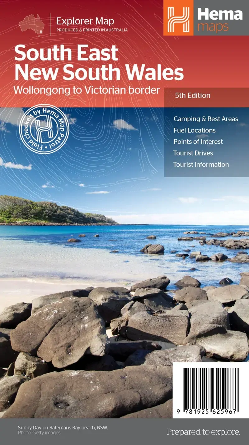
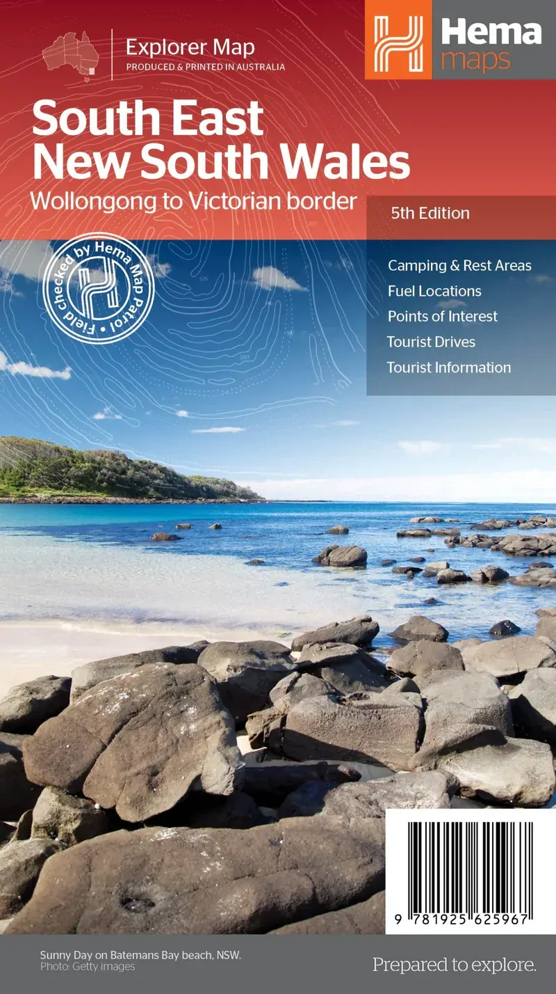
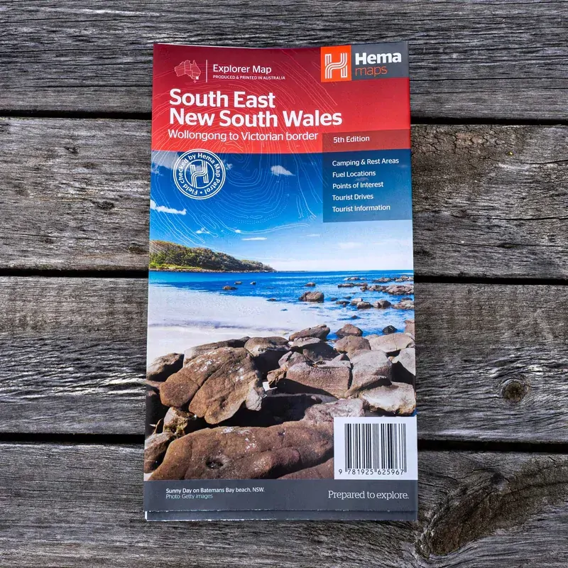
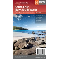
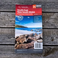
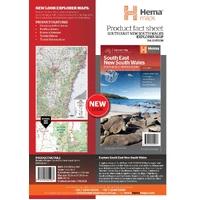
Hema South East New South Wales Map - Wollongong to Victorian Border (5th Edition)
In Stock - In Stock at Supplier - Item Ships in 2-5 business days
Special Order Item - Terms and Conditions apply.
Need it fast? Contact us to confirm lead times.
Pickup currently unavailable.
Buy Now, Pay Later.


DETAILS
Overview
Coast, capital and the Snowies on one map
Planning a South Coast road trip, a Snowy Mountains escape or a run through the Southern Highlands? This Hema regional map runs from Wollongong to the Victorian border and west past Jindabyne and out to Gundagai.

Hema Maps has been mapping Australia since 1983. Its maps are field checked by the Hema Map Patrol, the team that drives Australia's roads and tracks to check the mapping first-hand.
What's on the map
From Wollongong to the border
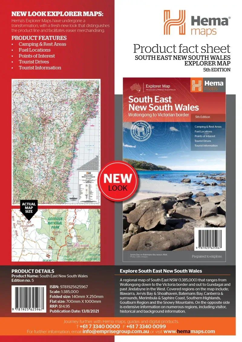
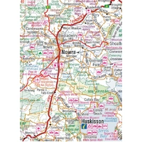
Covered regions include the Illawarra, Jervis Bay and Shoalhaven, Batemans Bay, Canberra and surrounds, Merimbula and the Sapphire Coast, the Southern Highlands, the Goulburn region and the Snowy Mountains.
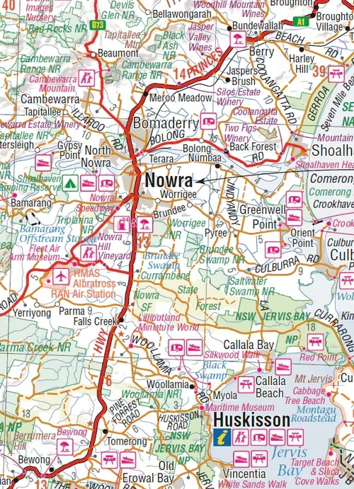
- ✓Camping and rest areas
- ✓Fuel locations
- ✓Tourist drives
- ✓Points of interest

Plan before you go

Ideas for every region
The opposite side has visitor, historical and background information on many of the regions, along with a national park listing with facilities and tourist information centres.
- ✓Detailed national park listing with facilities
- ✓Tourist information centres
- ✓Background and history for each region
Frequently asked questions
Which edition is this?
This is the 5th edition (ISBN 9781925625967), published in 2021.
Does it cover Canberra and the Snowy Mountains?
Yes. Canberra and surrounds and the Snowy Mountains, out past Jindabyne, are both on the map.
How far south does it go?
It runs down the coast from Wollongong to the Victorian border, taking in Merimbula and the Sapphire Coast.
Is it waterproof?
Hema lists this map on standard paper, so it is not sold as waterproof. Keep it in a map wallet to protect it on the road.
Pairs well with


Features
- ✓Regional map from Wollongong to the Victorian border at 1:385,000
- ✓Covers the South Coast, Canberra, Southern Highlands and Snowy Mountains
- ✓Camping and rest areas marked
- ✓Fuel locations and points of interest
- ✓Tourist drives
- ✓National park listing with facilities
- ✓Tourist information centres and regional background
- ✓Fully indexed
Product Details
| SKU | 9781925625967 |
| Barcode # | 9781925625967 |
| Brand | Hema Maps |
| Shipping Weight | 0.0900kg |
| Shipping Width | 0.140m |
| Shipping Height | 0.005m |
| Shipping Length | 0.250m |