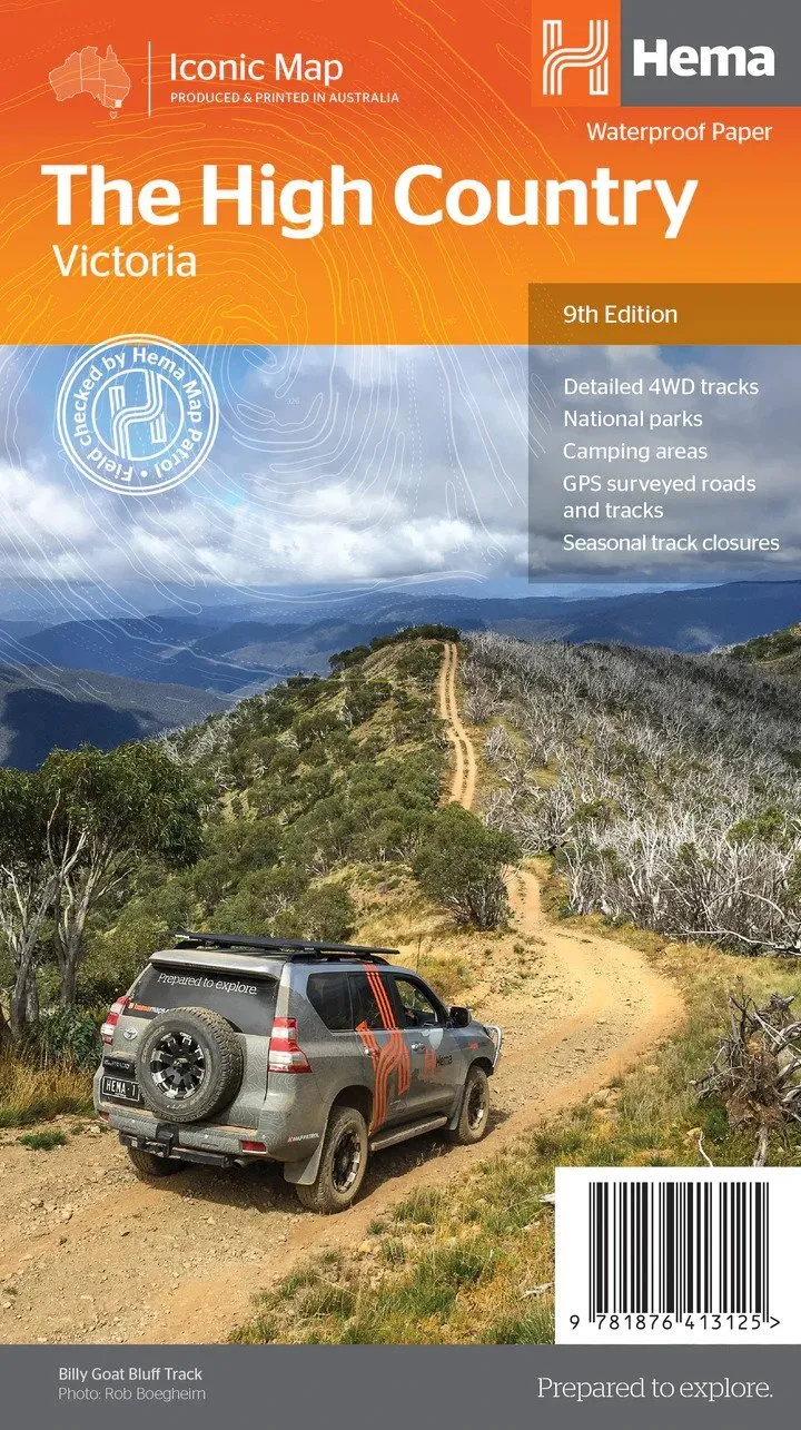
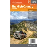
Hema The Victorian High Country Map (9th Edition)
In Stock - In Stock at Supplier - Item Ships in 2-5 business days
Special Order Item - Terms and Conditions apply.
Need it fast? Contact us to confirm lead times.
Pickup currently unavailable.
Buy Now, Pay Later.


DETAILS
Overview
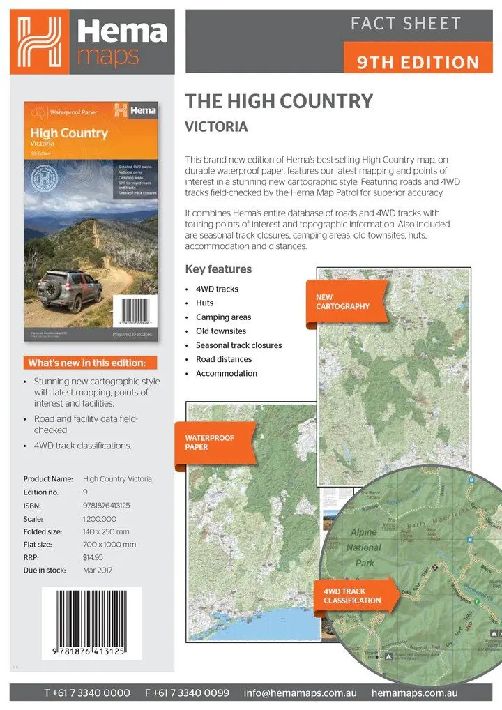
Every classic High Country track on one sheet
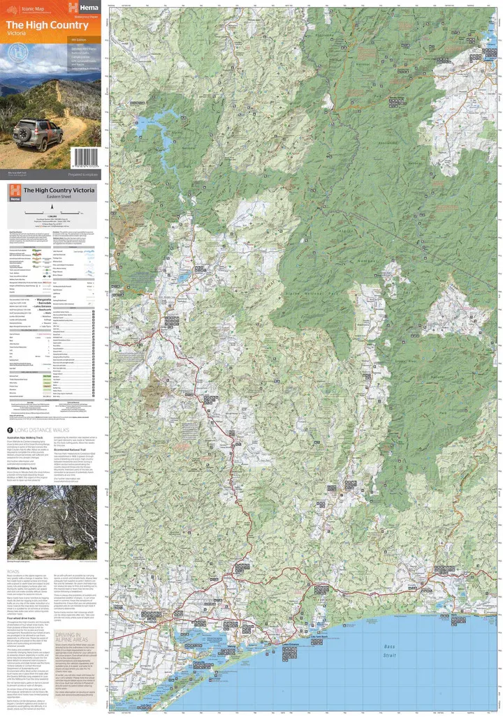
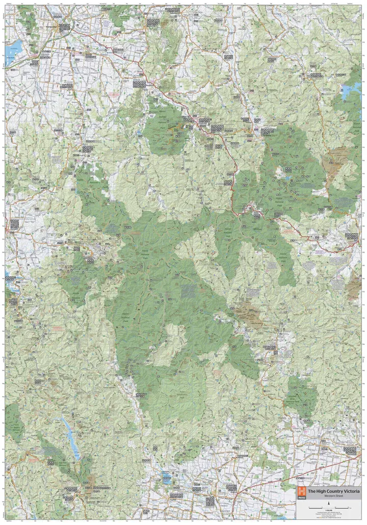
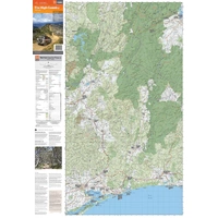
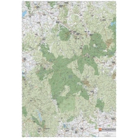
Want the big picture before you pick your tracks? Hema's best-selling Victorian High Country map shows the whole region on one waterproof sheet, from the iconic Wonnangatta and Billy Goat Bluff to the Blue Rag Range and Mount Pinnibar.

Hema Maps has been mapping Australia since 1983. Roads and 4WD tracks on this map are field checked by the Hema Map Patrol for accuracy.
What's on the map
The High Country's most iconic tracks
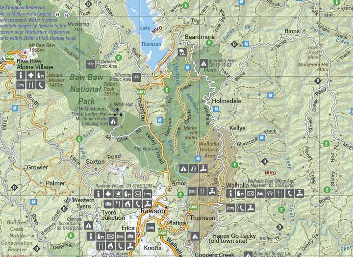
The map brings together Hema's database of roads and 4WD tracks with touring points of interest and topographic detail. Iconic tracks include:
- ✓Wonnangatta (Zeka Spur)
- ✓Billy Goat Bluff
- ✓Ingeegoodbee Track
- ✓Mount Pinnibar
- ✓Blue Rag Range Track

Built for the track

Huts, camps and closures
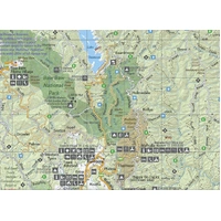
Seasonal track closures, camping areas, old townsites, huts, accommodation and road distances are all shown, with tracks classified so you can judge what suits your vehicle.
- ✓4WD track classifications
- ✓Road and facility data field checked
- ✓Printed on waterproof synthetic paper
From the lakes to the alps
Towns and services too
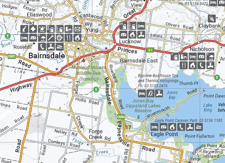
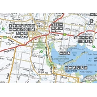
The map runs down to the Gippsland Lakes, with towns like Bairnsdale shown alongside fuel, accommodation, caravan parks and visitor facilities.
- ✓Latest mapping, points of interest and facilities
- ✓Folds to 140 x 250 mm for the glovebox

Frequently asked questions
Is the map waterproof?
Yes. It is printed on durable waterproof paper.
Which edition is this?
This is the 9th edition (ISBN 9781876413125).
Which tracks are on it?
Iconic tracks include Wonnangatta (Zeka Spur), Billy Goat Bluff, the Ingeegoodbee Track, Mount Pinnibar and the Blue Rag Range Track.
Do I need more detail than this?
This map gives you the whole region on one sheet. For track-level detail, Hema also makes four 1:100,000 High Country maps, sold separately or as a pack.
Pairs well with

Track-by-track guide to the Victorian High Country, with atlas mapping.
$49.95 · View
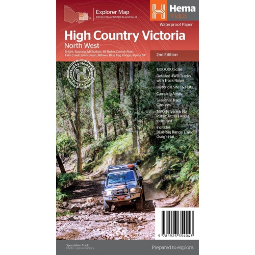
Detailed 1:100,000 sheet for Bright, Mt Buller and the Blue Rag Range.
$15.95 · View

Weekend and day 4WD trips within easy reach of Melbourne.
$49.95 · View
Features
- ✓Hema's best-selling Victorian High Country map
- ✓Whole region on one sheet at 1:200,000
- ✓Wonnangatta (Zeka Spur) and Billy Goat Bluff
- ✓Ingeegoodbee Track, Mount Pinnibar and Blue Rag Range
- ✓4WD track classifications
- ✓Huts, old townsites and camping areas
- ✓Seasonal track closures, accommodation and road distances
- ✓Field checked by the Hema Map Patrol
- ✓Waterproof synthetic paper
Product Details
| SKU | 9781876413125 |
| Barcode # | 9781876413125 |
| Brand | Hema Maps |
| Shipping Weight | 0.0900kg |
| Shipping Width | 0.140m |
| Shipping Height | 0.005m |
| Shipping Length | 0.250m |