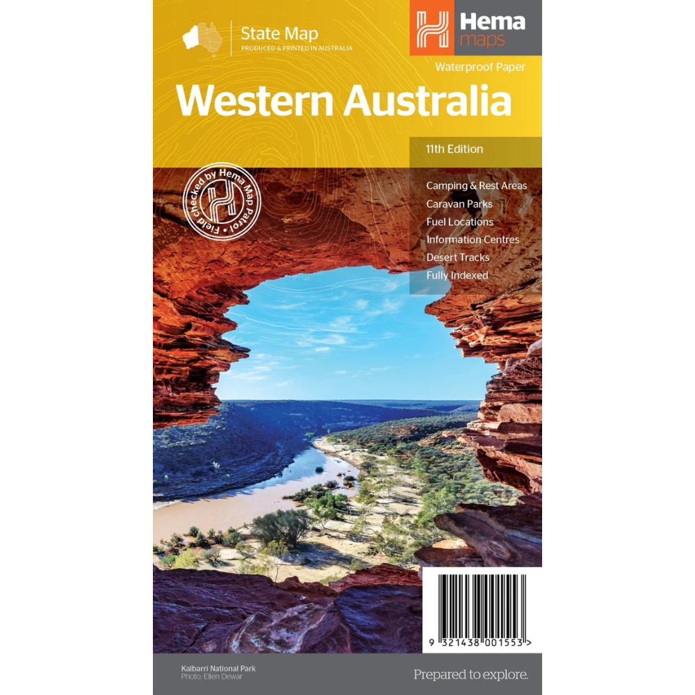
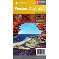
Hema Western Australia State Map (11th Edition)
In Stock - In Stock at Supplier - Item Ships in 2-5 business days
Special Order Item - Terms and Conditions apply.
Need it fast? Contact us to confirm lead times.
Pickup currently unavailable.
Buy Now, Pay Later.


DETAILS
Overview
Plan the big WA road trip
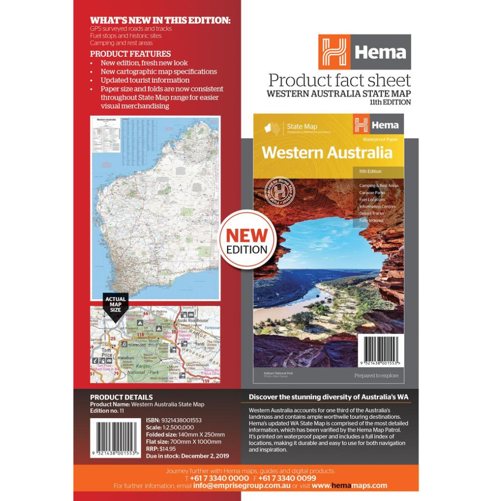
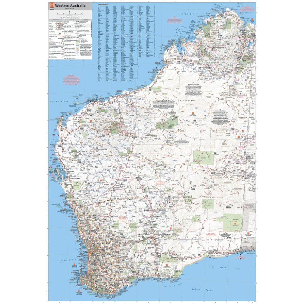
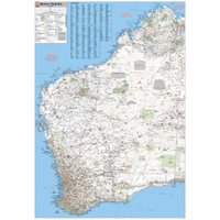
Western Australia covers a third of the country. This waterproof Hema map puts it all on one sheet, from Perth and the South West to the Pilbara, the Kimberley and the desert tracks between.

Hema Maps has been mapping Australia since 1983. This map's information has been verified by the Hema Map Patrol, the team that drives Australia's roads and tracks to check the mapping first-hand.
What's on the map
The whole state on one sheet
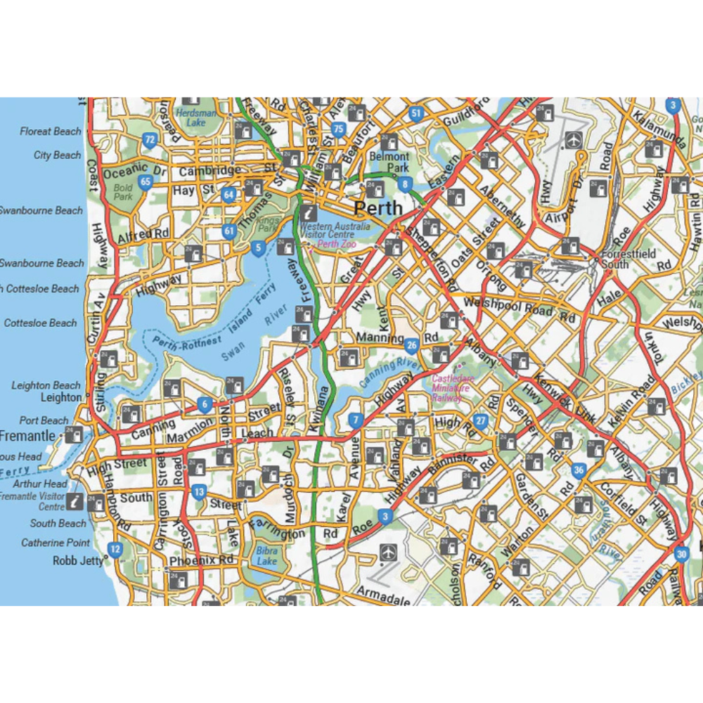
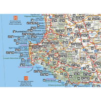
The main map shows highways, minor and secondary roads and national and state routes, with detailed road distances. A full index of cities, towns and localities makes it quick to find your next stop.
- ✓Camping and rest areas
- ✓Caravan parks and fuel locations
- ✓Information centres
- ✓Desert tracks

Detail you can use

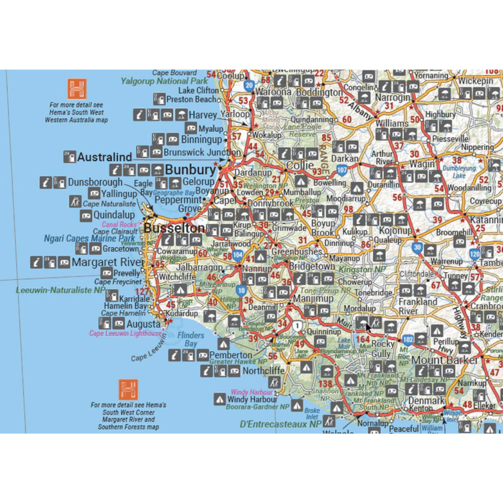
Clear symbols for every stop
Camps, caravan parks, fuel and information centres are marked with clear symbols, and the distances between towns help you plan long days on the road.
- ✓Detailed road distances
- ✓Points of interest and national parks
Plan before you go
Perth and the parks on the back
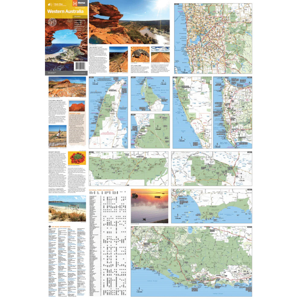
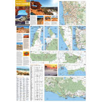
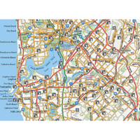
The reverse side has through road maps of Perth, plus inset maps of seven national parks, and a list of information centres across the state.
- ✓Perth through road maps
- ✓Leeuwin-Naturaliste, Cape Range and Nambung NPs
- ✓Francois Peron, Purnululu, Walpole-Nornalup and Karijini NPs

Frequently asked questions
Is the map waterproof?
Yes. Hema prints it on waterproof paper, so it stands up to dust, spills and weather.
Which edition is this?
This is the 11th edition (ISBN 9321438001553), published in 2019.
Which national parks have inset maps?
Leeuwin-Naturaliste, Cape Range, Nambung, Francois Peron, Purnululu, Walpole-Nornalup and Karijini.
Does it show desert tracks?
Yes, desert tracks are shown. For remote track detail, add a regional Hema map such as the Pilbara & Coral Coast or the Kimberley.
Pairs well with

Regional detail for Shark Bay, Ningaloo and Karijini.
$15.95 · View


Features
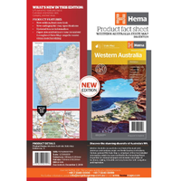
- ✓Whole-state map of WA at 1:2,500,000
- ✓Highways, minor and secondary roads, national and state routes
- ✓Camping and rest areas, caravan parks and fuel
- ✓Information centres and desert tracks
- ✓Detailed road distances and full index
- ✓Perth through road maps
- ✓Inset maps of seven national parks
- ✓Waterproof paper, verified by the Hema Map Patrol
Product Details
| SKU | 9321438001553 |
| Barcode # | 9321438001553 |
| Brand | Hema Maps |
| Shipping Weight | 0.0900kg |
| Shipping Width | 0.140m |
| Shipping Height | 0.005m |
| Shipping Length | 0.250m |