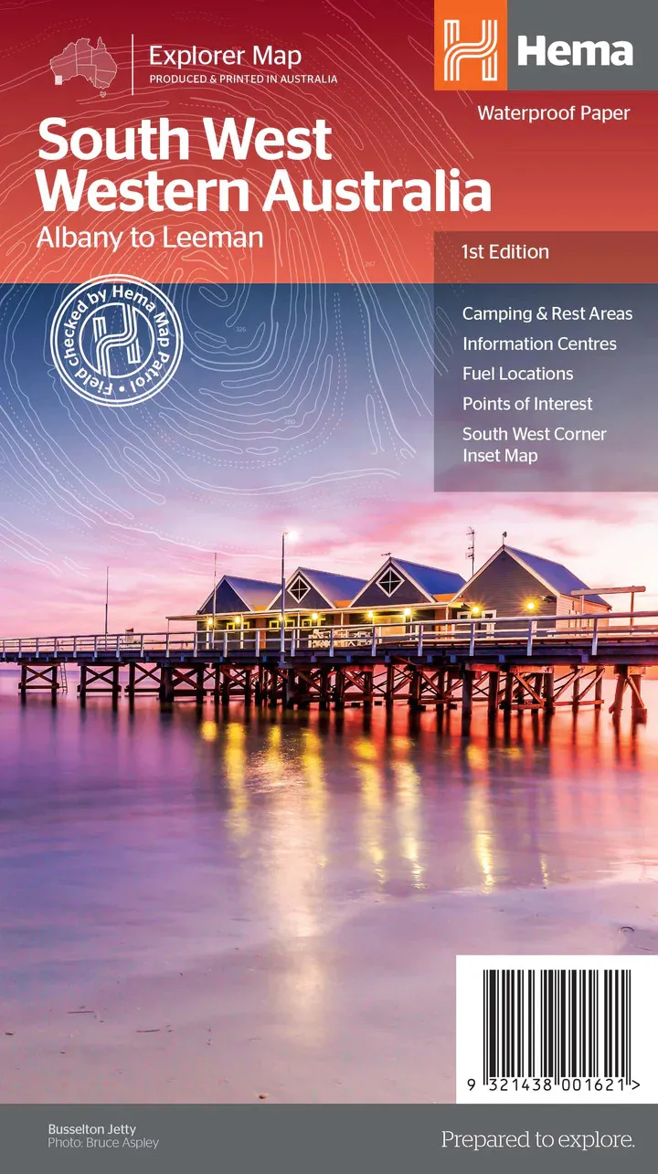
Hema South West Western Australia Map - Albany to Leeman (1st Edition)
In Stock - In Stock at Supplier - Item Ships in 2-5 business days
Special Order Item - Terms and Conditions apply.
Need it fast? Contact us to confirm lead times.
Pickup currently unavailable.
Buy Now, Pay Later.


DETAILS
Overview
Margaret River, the forests and the south coast
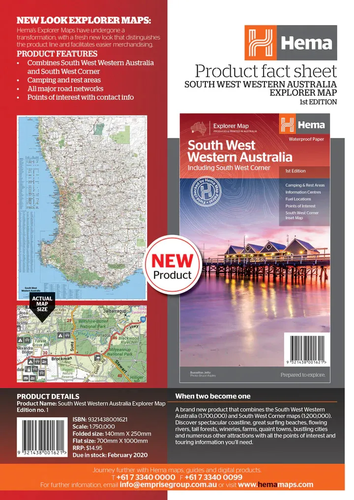
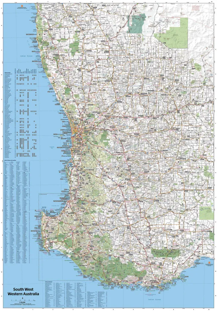
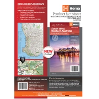
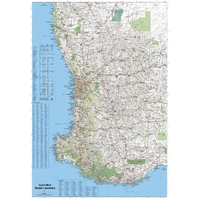
Hema's South West Western Australia map covers the region from Leeman in the north, down through Perth, Bunbury, Busselton and Margaret River, and around to Albany on the south coast. On the reverse is a detailed map of the South West Corner.

Hema Maps has been mapping Australia since 1983. This Explorer Map carries Hema's Map Patrol field-checked seal and is produced and printed in Australia.
South West Corner
Forests, coast and 4WD tracks
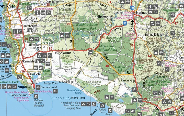
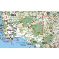
The 1:200,000 South West Corner map takes in Wellington, Leeuwin-Naturaliste and D'Entrecasteaux national parks. Almost the entire coast is national park, with great four-wheel driving, including Lake Jasper via Black Point.
- ✓Leeuwin-Naturaliste and D'Entrecasteaux national parks
- ✓Camping and rest areas
- ✓Information centres and points of interest

What's on the map

Leeman to Albany on one side
The main side covers South West Western Australia at 1:700,000, with camping and rest areas, fuel locations, information centres and points of interest marked.
- ✓Camping and rest areas
- ✓Fuel locations
- ✓Information centres
- ✓Points of interest
Plan before you go
Know the season
The South West is popular in spring for wildflowers. Winters are often wet and windy on the south coast, and total fire bans apply in many areas over summer, so check conditions before you go.
- ✓Printed on waterproof paper
- ✓Folds to 140 x 250 mm
Frequently asked questions
Is the map waterproof?
Yes. The cover states it is printed on waterproof paper.
Does it cover Margaret River?
Yes. Margaret River is on the main map, and the South West Corner map shows the area in more detail at 1:200,000.
Does it show 4WD tracks?
Yes. 4WD routes such as Lake Jasper via Black Point in D'Entrecasteaux National Park are shown on the South West Corner map.
Which edition is this?
This is the 1st edition (barcode 9321438001621).
Pairs well with
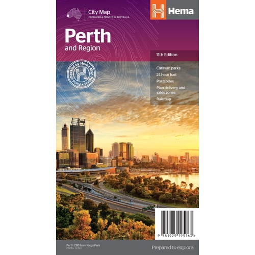
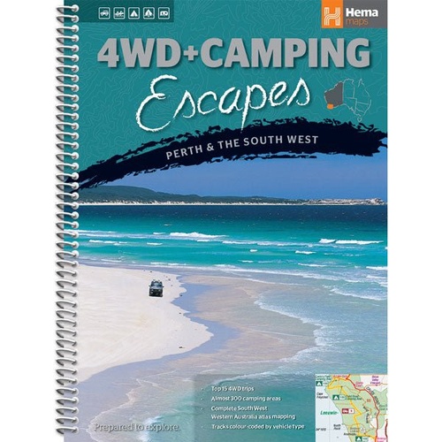
Guide to the best 4WD and camping spots around Perth and the South West.
$29.95 · View
Features
- ✓Leeman to Albany on the main map at 1:700,000
- ✓South West Corner map at 1:200,000
- ✓Margaret River, Busselton and the Southern Forests
- ✓Wellington, Leeuwin-Naturaliste and D'Entrecasteaux national parks
- ✓Camping and rest areas
- ✓Fuel locations and information centres
- ✓Points of interest
- ✓Waterproof paper, field checked by the Hema Map Patrol
Product Details
| SKU | 9321438001621 |
| Barcode # | 9321438001621 |
| Brand | Hema Maps |
| Shipping Weight | 0.0700kg |
| Shipping Width | 0.140m |
| Shipping Height | 0.005m |
| Shipping Length | 0.250m |