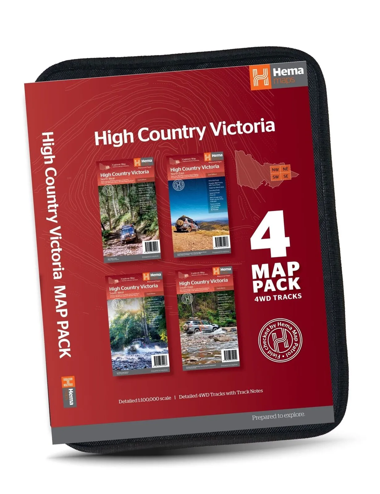
Hema The Victorian High Country Map Pack - 4 Maps 1:100,000 with Map Wallet
In Stock - In Stock at Supplier - Item Ships in 2-5 business days
Special Order Item - Terms and Conditions apply.
Need it fast? Contact us to confirm lead times.
Pickup currently unavailable.
Buy Now, Pay Later.


DETAILS
Overview
The whole High Country in one wallet
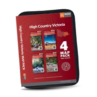
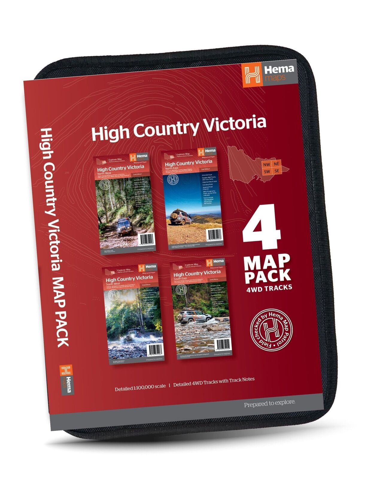
Planning a proper High Country trip? This pack puts all four of Hema's 1:100,000 Victorian High Country maps into a soft, durable map wallet, so you have detailed mapping for the whole region, from the Gippsland Lakes to the NSW border.
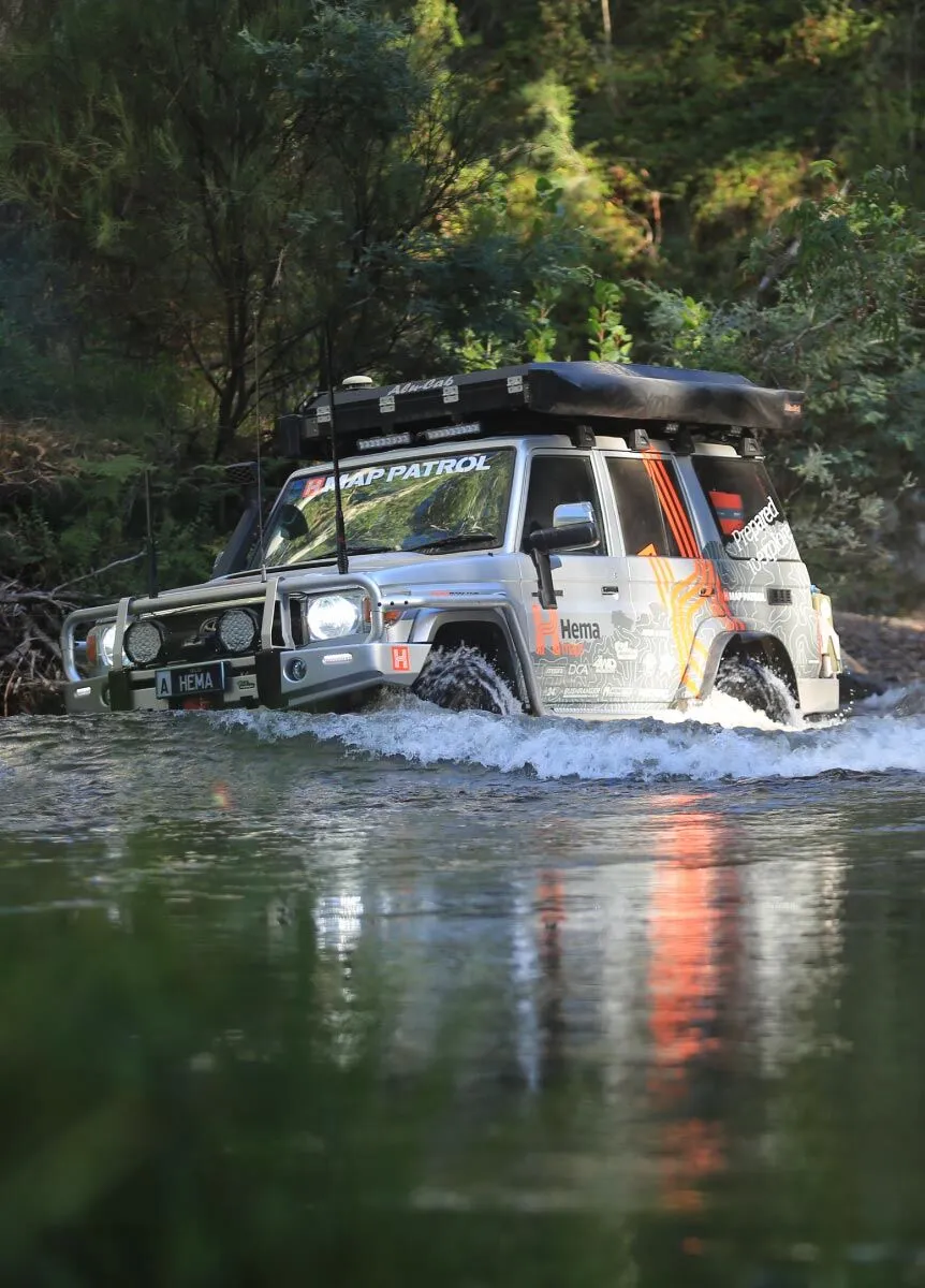
Hema Maps has been mapping Australia since 1983. Each map is field checked by the Hema Map Patrol for the accuracy and detail you need in this country.
What's in the pack
Four maps, one region
Each 2nd edition sheet covers one quarter of the High Country, so you can take the one you need on the day or keep the full set in the car.
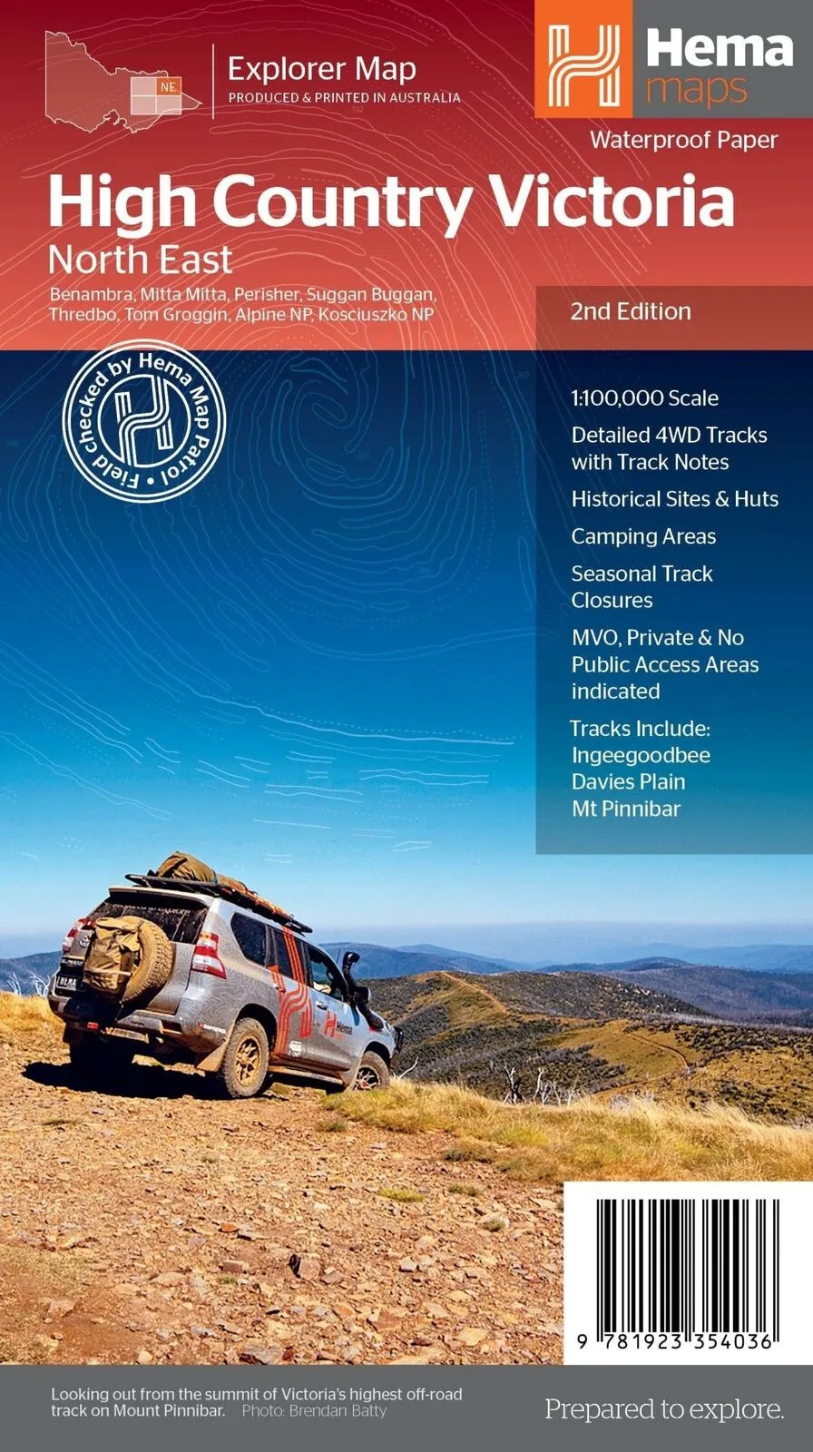
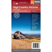
- ✓North East: Benambra, Mitta Mitta, Thredbo, Tom Groggin, Kosciuszko NP
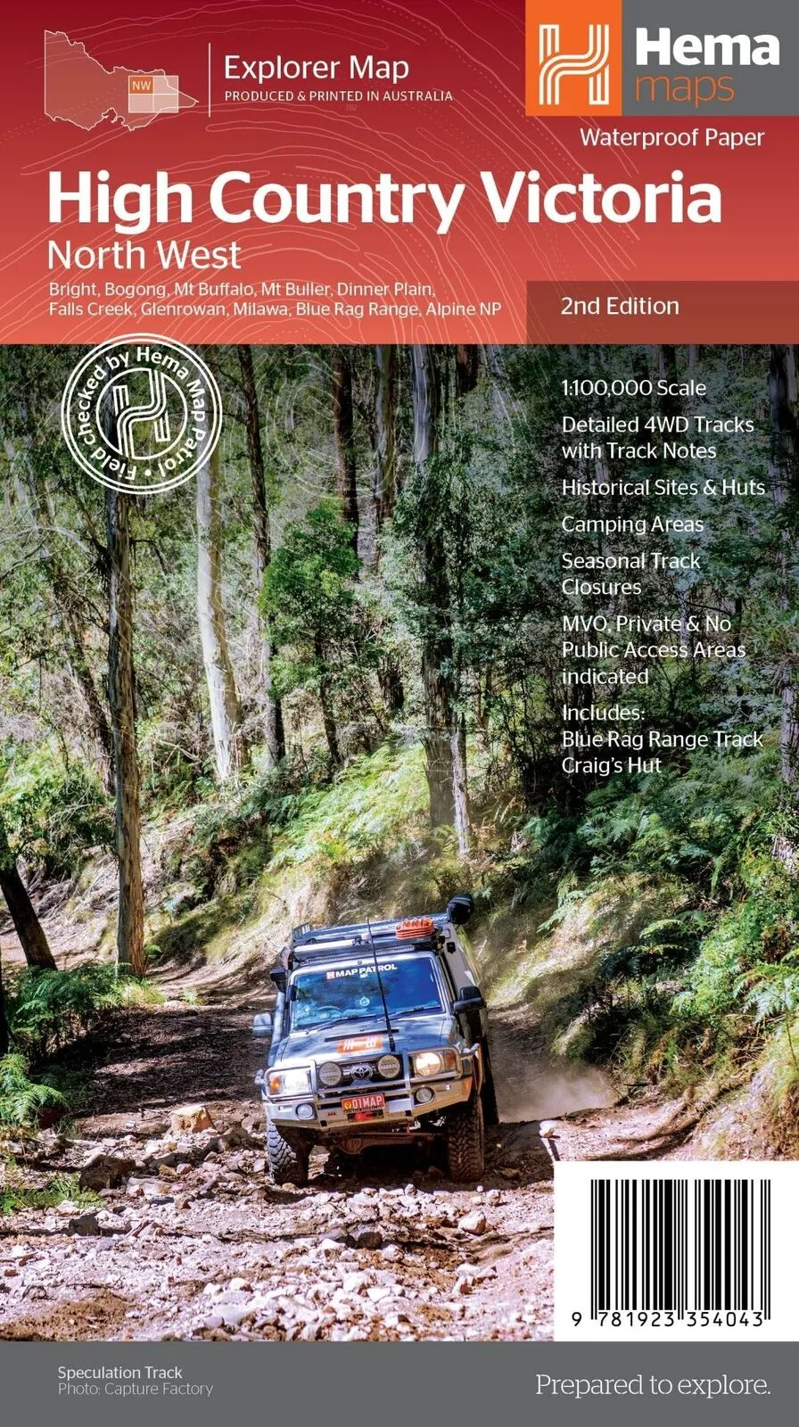
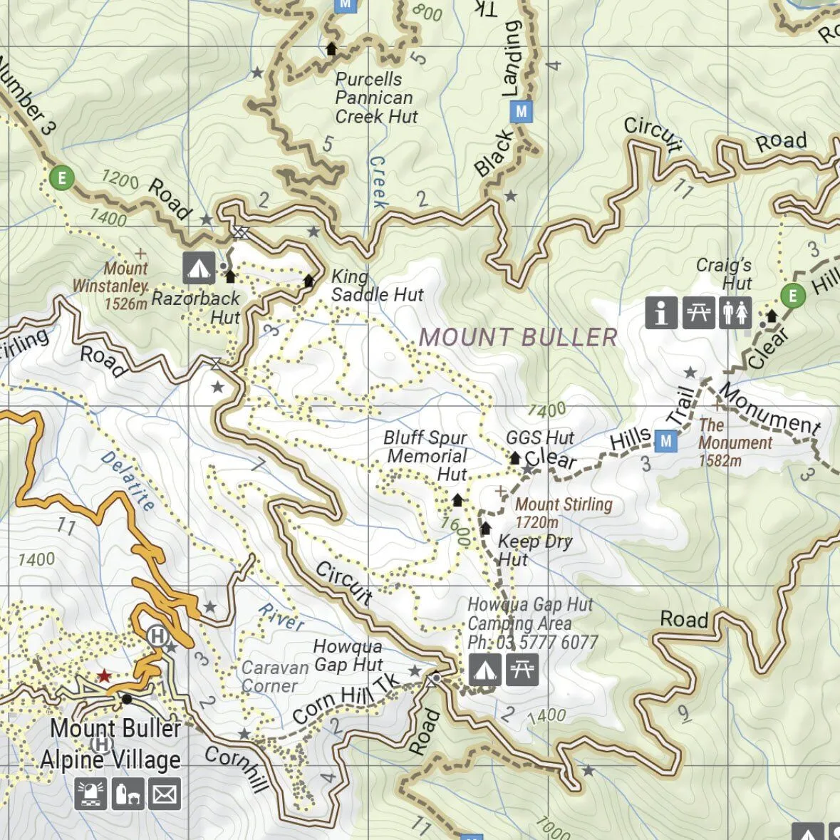
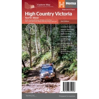
- ✓North West: Bright, Mt Buffalo, Mt Buller, Falls Creek, Blue Rag Range
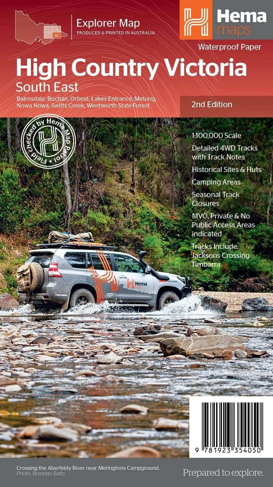
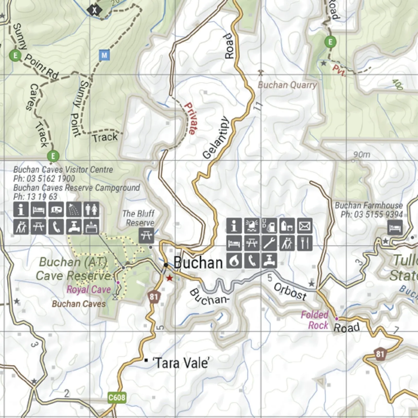
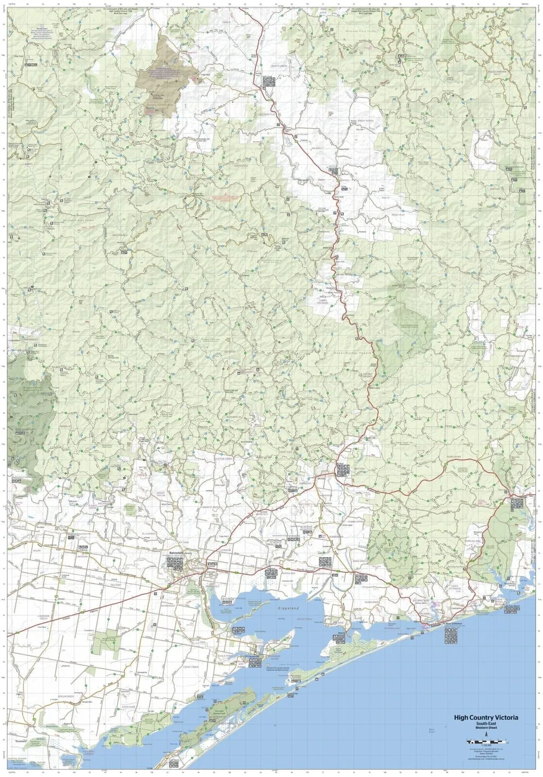
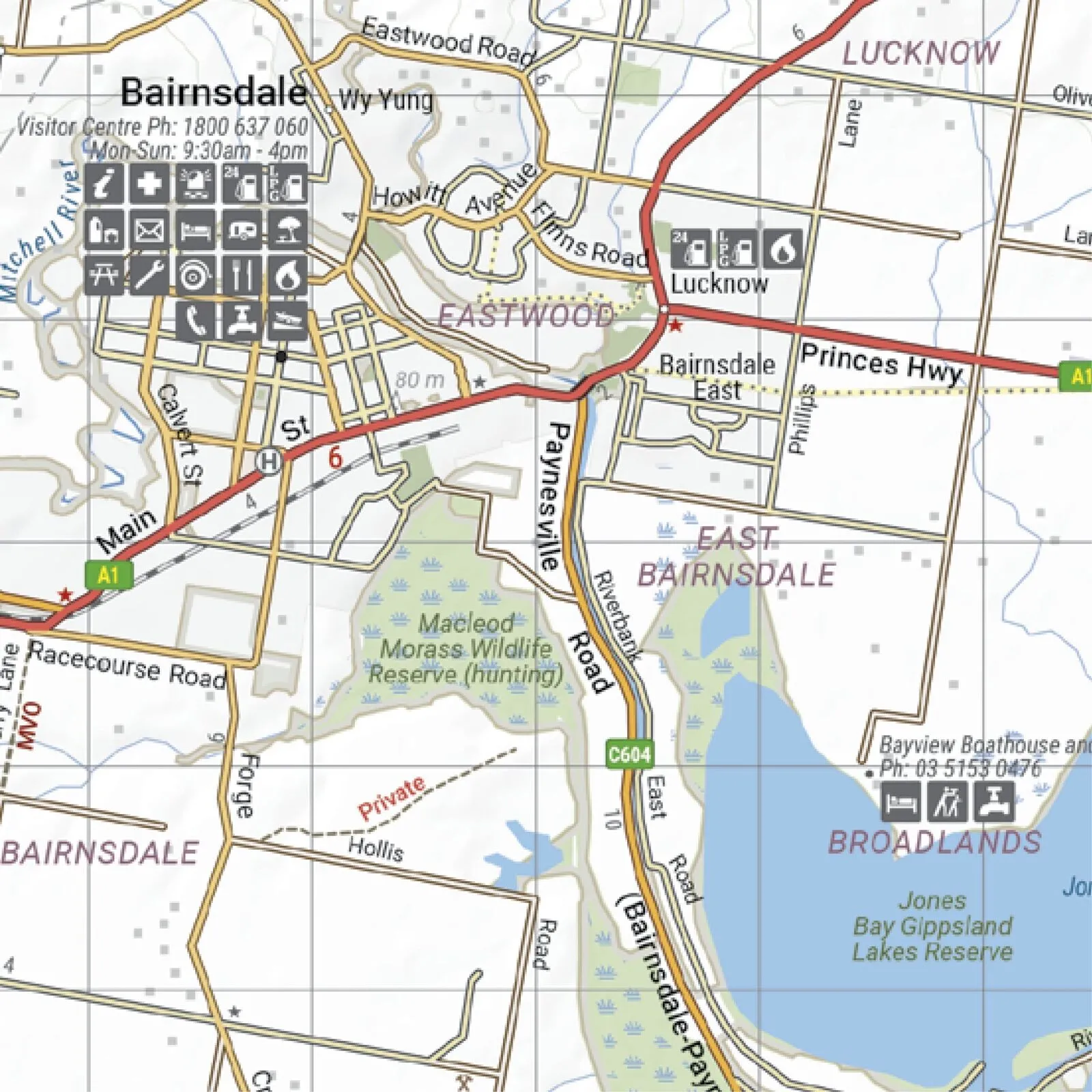
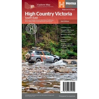
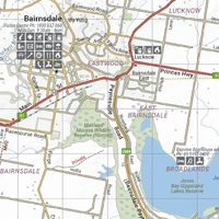
- ✓South East: Bairnsdale, Buchan, Orbost, Lakes Entrance, Swifts Creek
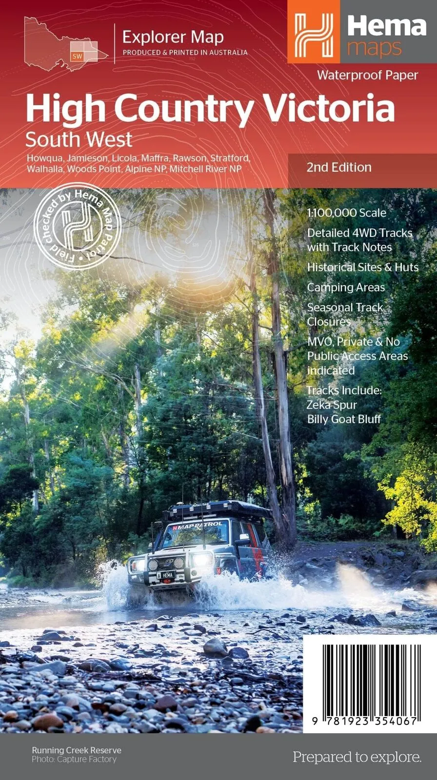
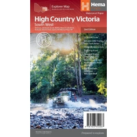
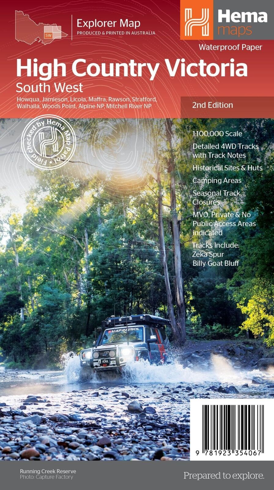
- ✓South West: Howqua, Jamieson, Licola, Walhalla, Woods Point
Built for the track
Track notes, huts and closures
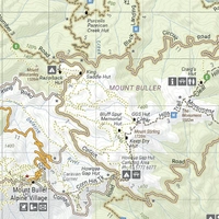
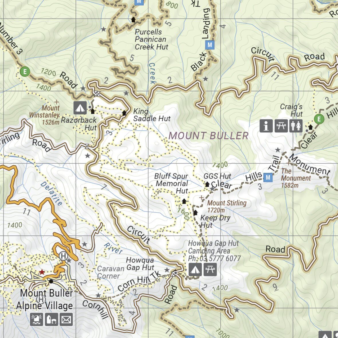
All four maps show detailed 4WD tracks with track notes, historical sites and huts, camping areas, seasonal track closures and MVO, private and no public access areas.
- ✓Zeka Spur, Billy Goat Bluff and the Wonnangatta
- ✓Blue Rag Range Track and Craig's Hut
- ✓Davies Plain, Ingeegoodbee and Mt Pinnibar
- ✓Jacksons Crossing and Timbarra
Plan your stops
Towns and services marked
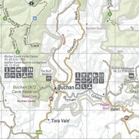
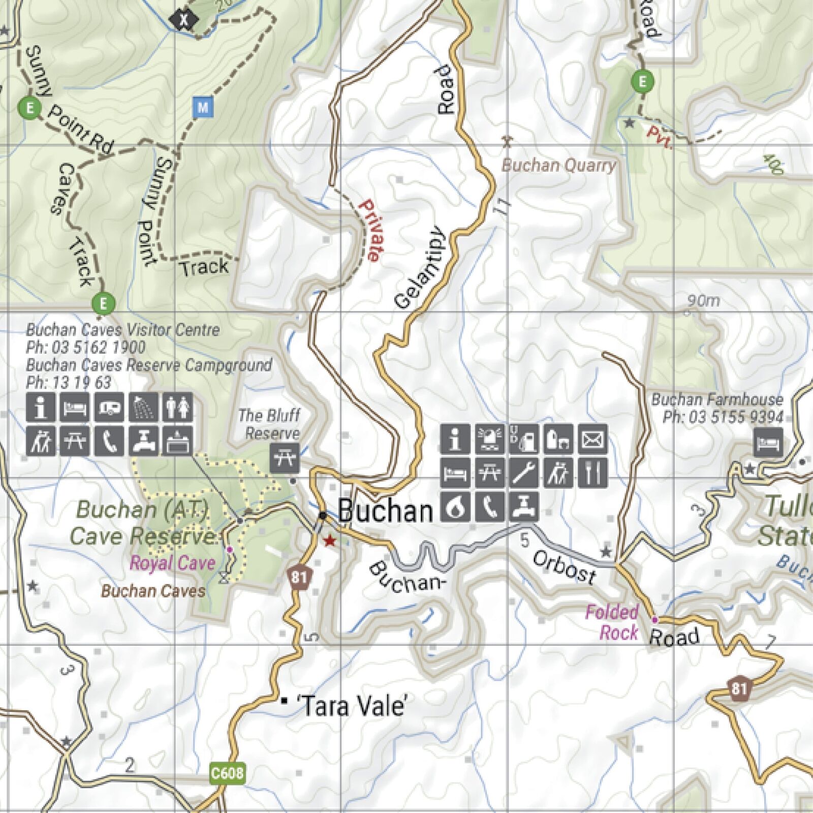
Town services, visitor centres, campgrounds and attractions are marked, like the Buchan Caves Reserve on the South East sheet. Road distances help you plan each leg.
- ✓Waterproof, tear-resistant paper
- ✓Soft, durable wallet keeps all four maps together
Frequently asked questions
What is in the pack?
The four 2nd edition maps of Hema's Victorian High Country series (North East, North West, South East and South West) and a Hema map wallet.
Are the maps waterproof?
Yes. Each map is printed on waterproof, tear-resistant paper.
What scale are the maps?
All four maps are at 1:100,000.
Can I buy the maps separately?
Yes. Each map is also sold on its own. The pack is the easy way to get the full set plus the wallet.
Pairs well with

Track-by-track guide to the Victorian High Country, with atlas mapping.
$49.95 · View

Weekend and day 4WD trips within easy reach of Melbourne.
$49.95 · View

Hema's single-sheet overview map of the whole Victorian High Country.
$15.95 · View
Features
- ✓All four Victorian High Country maps in one pack
- ✓Detailed 1:100,000 scale
- ✓Soft, durable Hema map wallet included
- ✓Waterproof, tear-resistant paper
- ✓Field checked by the Hema Map Patrol
- ✓Detailed 4WD tracks with track notes
- ✓Historical sites, huts and camping areas
- ✓Seasonal track closures and access areas marked
Product Details
| SKU | 9781923354142 |
| Barcode # | 9781923354142 |
| Brand | Hema Maps |
| Shipping Weight | 0.5000kg |