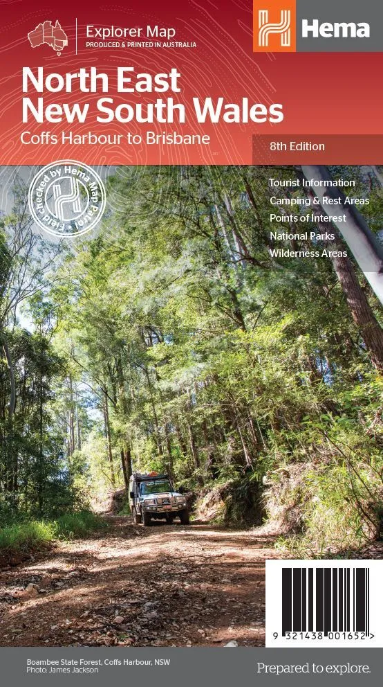
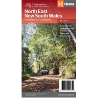
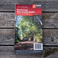
Hema North East New South Wales Map - Coffs Harbour to Brisbane (8th Edition)
In Stock - In Stock at Supplier - Item Ships in 2-5 business days
Special Order Item - Terms and Conditions apply.
Need it fast? Contact us to confirm lead times.
Pickup currently unavailable.
Buy Now, Pay Later.


DETAILS
Overview
Tour the coast and the tablelands
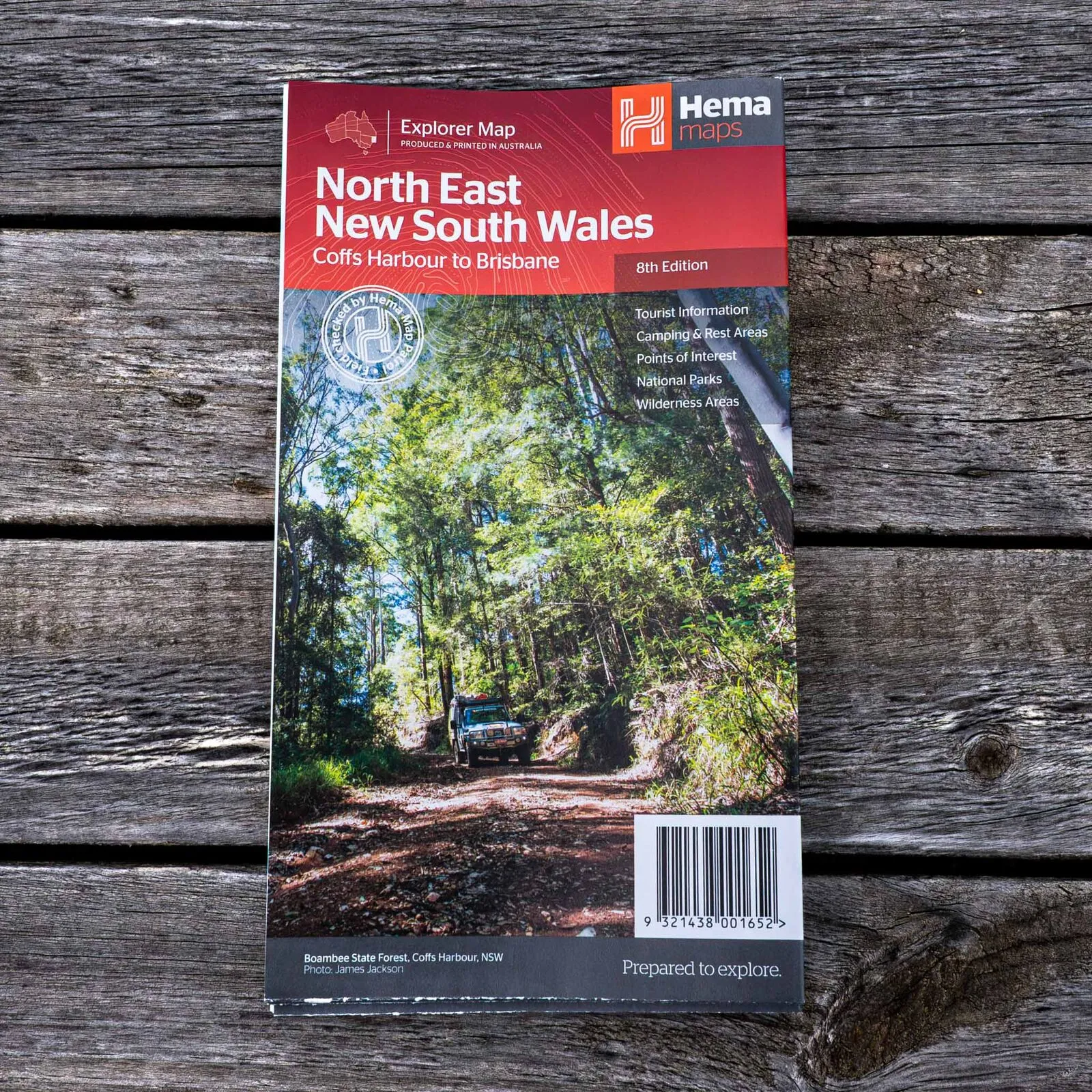
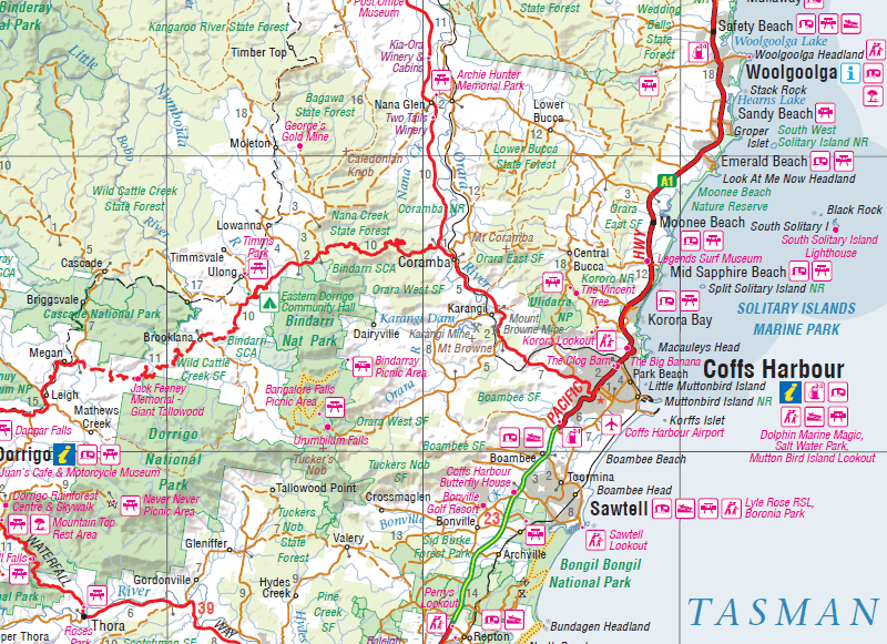
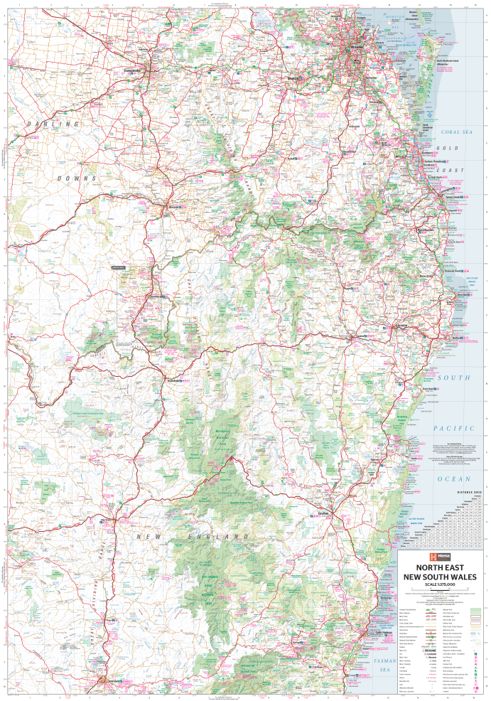
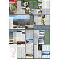
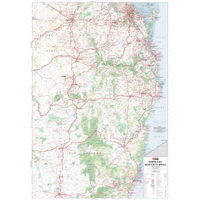
Hema's North East New South Wales map covers the country from Coffs Harbour to Brisbane, between the coast and the New England tablelands. It is made for caravanners and road trippers who want to get off the highway.

Hema Maps has been mapping Australia since 1983. This Explorer Map carries Hema's Map Patrol field-checked seal and is produced and printed in Australia.
What's on the map
The great touring routes of the north east
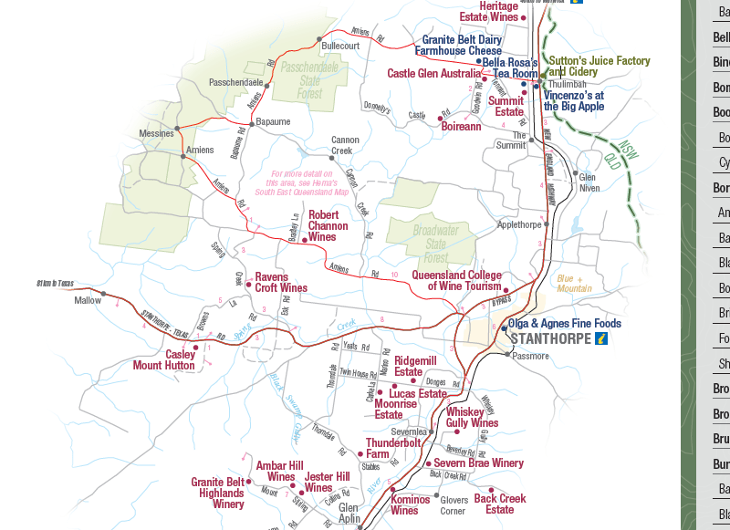
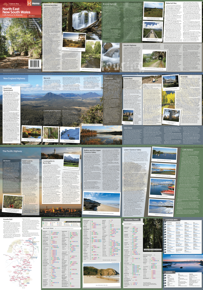
The map follows the major touring routes through the region, including the Summerland Way, Bruxner Highway, Waterfall Way and Gwydir Highway, plus the main attractions along the Pacific and New England highways.
- ✓Top scenic drives
- ✓Camping and rest areas
- ✓National parks and wilderness areas
- ✓Events and visitor information
- ✓Fully indexed
Frequently asked questions
Which edition is this?
This is the 8th edition (barcode 9321438001652).
What area does it cover?
North east NSW, from Coffs Harbour to Brisbane, between the coast and the New England tablelands.
Does it show camping areas?
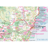
Yes. Camping and rest areas are marked, along with national parks and points of interest.
Is it waterproof?
No. Hema lists this map as standard paper.
Pairs well with

The Mid North Coast at 1:350,000, from Newcastle to Port Macquarie and inland.
$15.95 · View

South East Queensland from Byron Bay to Bundaberg, with Brisbane maps.
$15.95 · View

Features
- ✓Detailed 1:375,000 regional mapping
- ✓Coffs Harbour to Brisbane, coast to tablelands
- ✓Summerland Way, Bruxner Highway, Waterfall Way and Gwydir Highway
- ✓Attractions along the Pacific and New England highways
- ✓Camping and rest areas
- ✓National parks with contact information
- ✓Events and tourist information
- ✓Fully indexed
Product Details
| SKU | 9321438001652 |
| Barcode # | 9321438001652 |
| Brand | Hema Maps |
| Shipping Weight | 0.0900kg |
| Shipping Width | 0.140m |
| Shipping Height | 0.005m |
| Shipping Length | 0.250m |