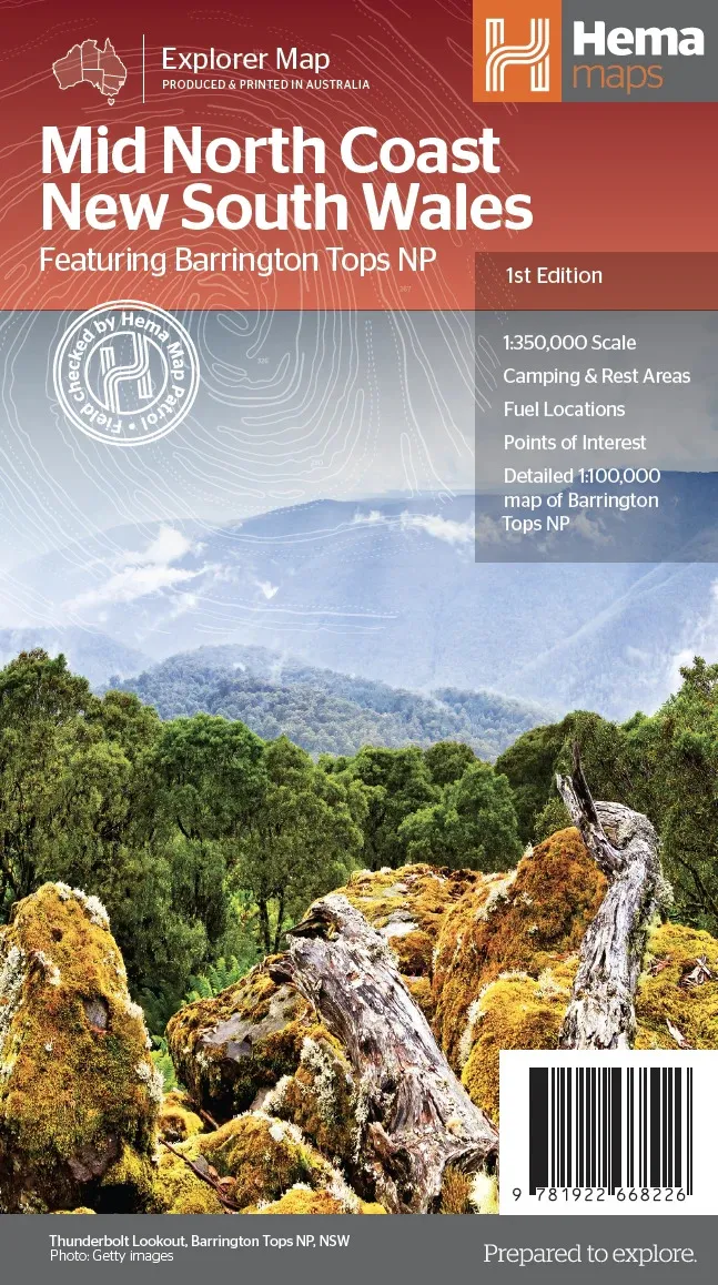
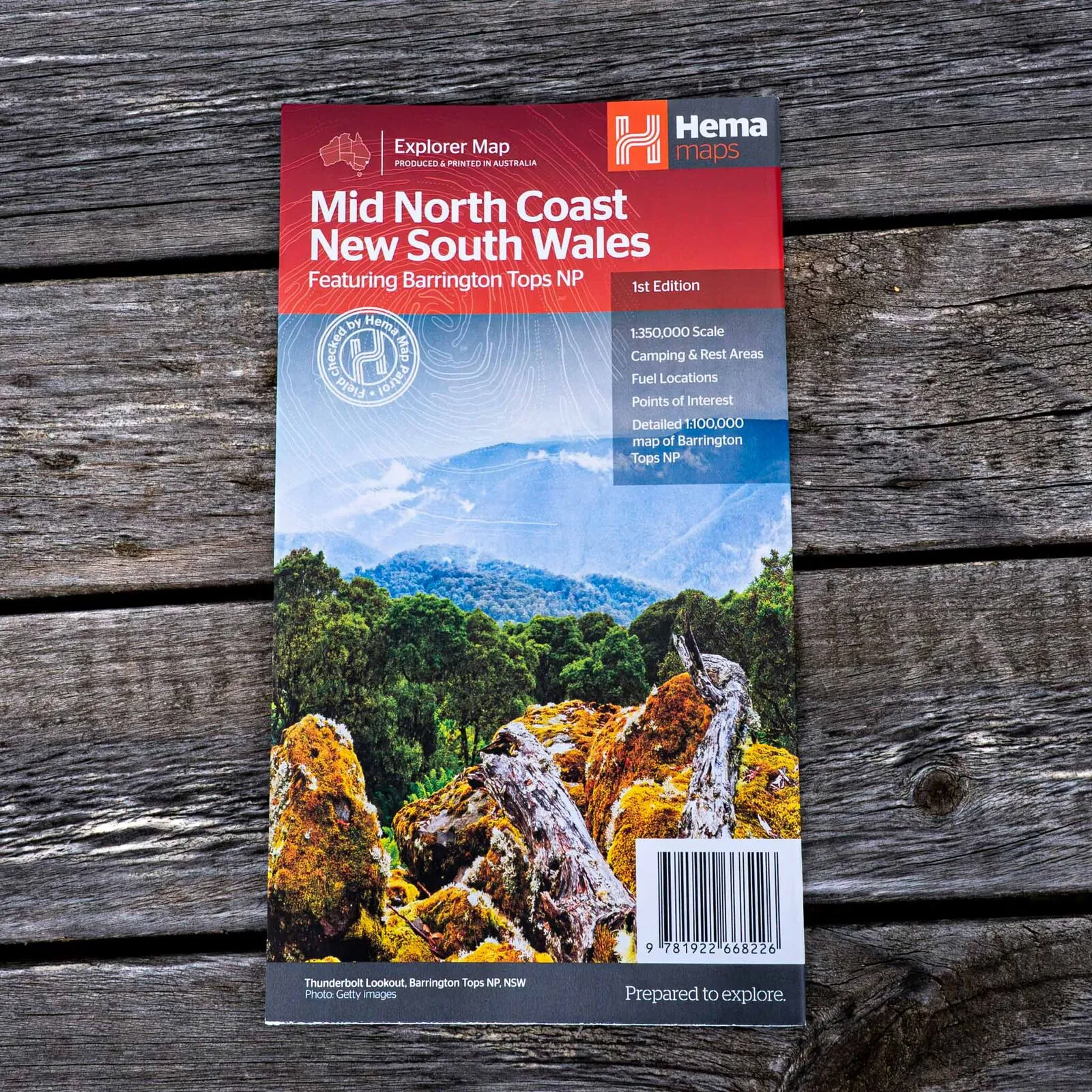
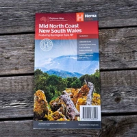
Hema Mid North Coast New South Wales Map - Featuring Barrington Tops (1st Edition)
In Stock - In Stock at Supplier - Item Ships in 2-5 business days
Special Order Item - Terms and Conditions apply.
Need it fast? Contact us to confirm lead times.
Pickup currently unavailable.
Buy Now, Pay Later.


DETAILS
Overview
From the beaches to Barrington Tops
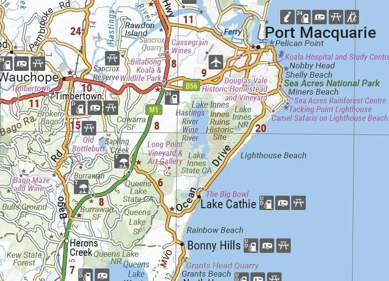
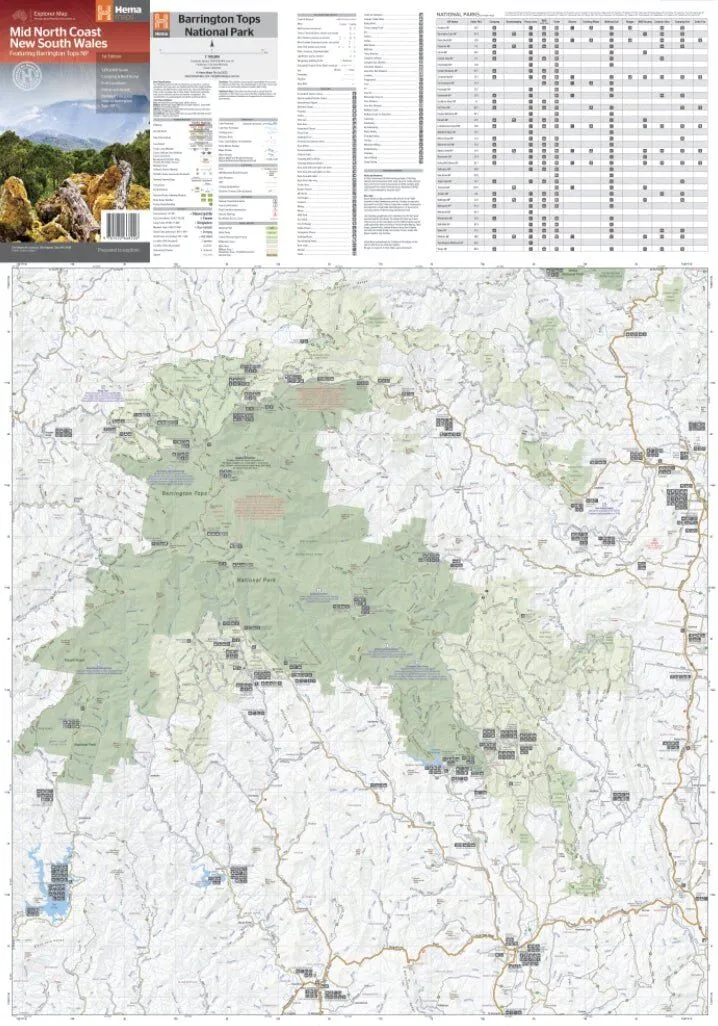
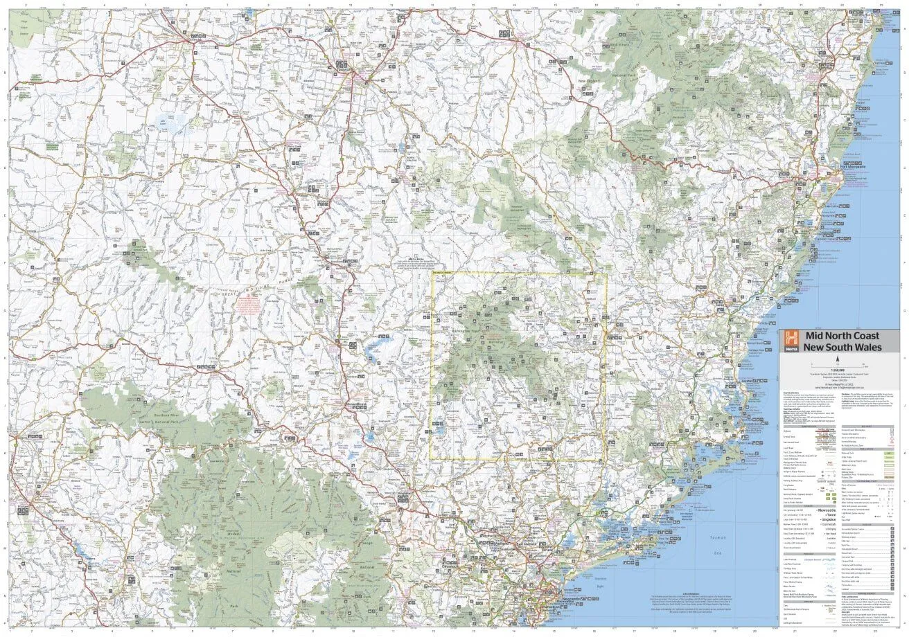
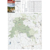
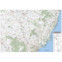
This Hema map pairs the Mid North Coast's beach towns with the rugged parks and high country behind them. It covers the region at 1:350,000, from north of Newcastle west to Mudgee, north to Gunnedah and east to Port Macquarie, with a detailed Barrington Tops map on the reverse.

Hema Maps has been mapping Australia since 1983. Its maps are produced and printed in Australia, and Hema's Map Patrol team drives the roads and tracks to field-check the mapping.
What's on the map
Coast, hinterland and national parks
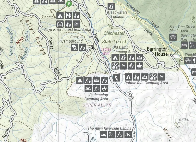
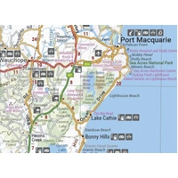
The regional map takes in Tamworth, Gunnedah, Mudgee, Maitland, Kempsey, Taree, Forster and Port Macquarie, with camping and rest areas, fuel, points of interest and tourist information centres. National parks include Barrington Tops, Oxley Wild Rivers, Hat Head, Werrikimbe, Wollemi, Goulburn River and Yengo, with a listing of their facilities.
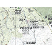
- ✓Barrington Tops NP map at 1:100,000 on the reverse
- ✓National park listing with facilities
- ✓Visitor, historical and background information
- ✓Camping and rest areas, fuel
Frequently asked questions
Which edition is this?
This is the 1st edition of Hema's Mid North Coast New South Wales map (ISBN 9781922668226).
Does it cover Barrington Tops in detail?
Yes. The reverse has a detailed Barrington Tops National Park map at 1:100,000.
What area does it cover?
North of Newcastle west to Mudgee, north to Gunnedah and east to Port Macquarie.
Is the map waterproof?
Hema lists this map as standard paper. A Hema map wallet will keep it in good shape.
Pairs well with

The north-east of New South Wales, next door to the Mid North Coast.
$15.95 · View


Features
- ✓Regional map at 1:350,000
- ✓Barrington Tops NP map at 1:100,000
- ✓Newcastle to Port Macquarie, west to Mudgee and Gunnedah
- ✓Camping and rest areas
- ✓Fuel locations and points of interest
- ✓National park listing with facilities
- ✓Tourist information centres
- ✓Visitor and historical information
Product Details
| SKU | 9781922668226 |
| Barcode # | 9781922668226 |
| Brand | Hema Maps |
| Shipping Weight | 0.0900kg |
| Shipping Width | 0.140m |
| Shipping Height | 0.005m |
| Shipping Length | 0.250m |