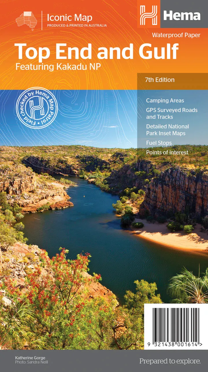
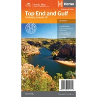
Hema Top End and Gulf Map - Featuring Kakadu NP (7th Edition)
In Stock - In Stock at Supplier - Item Ships in 2-5 business days
Special Order Item - Terms and Conditions apply.
Need it fast? Contact us to confirm lead times.
Pickup currently unavailable.
Buy Now, Pay Later.


DETAILS
Overview
Explore the Top End and Gulf by 4WD
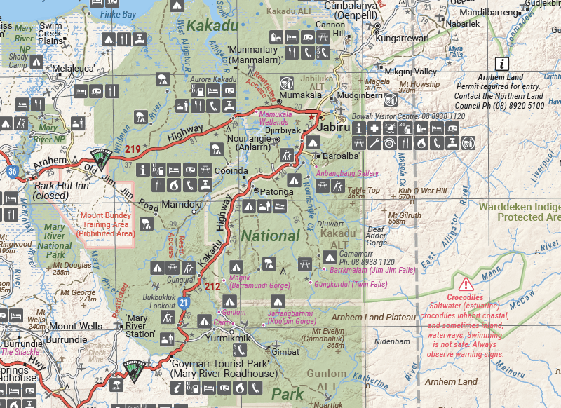
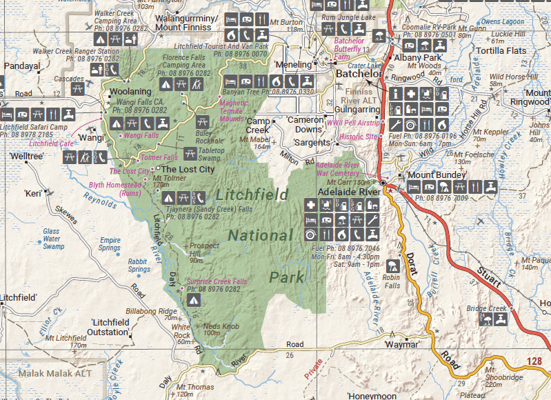
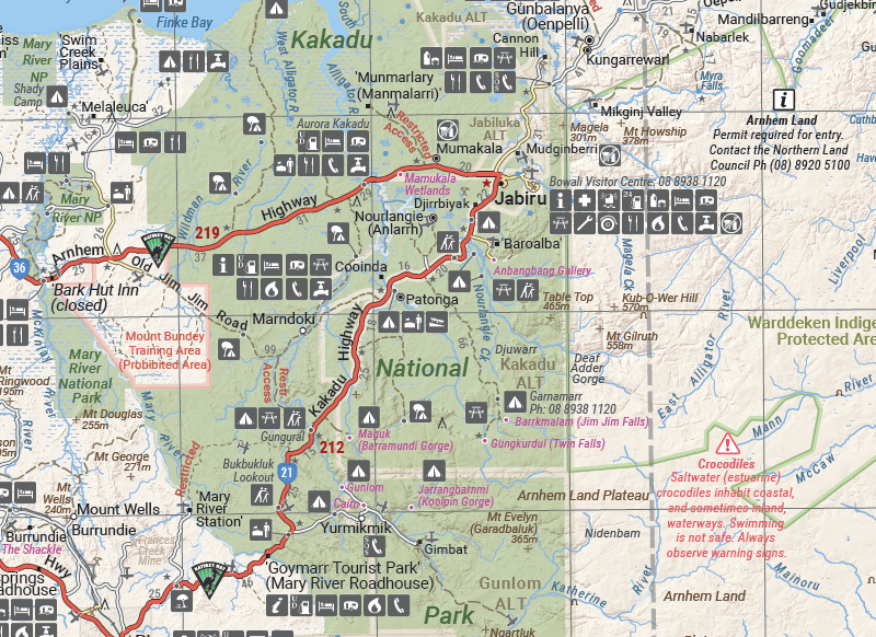
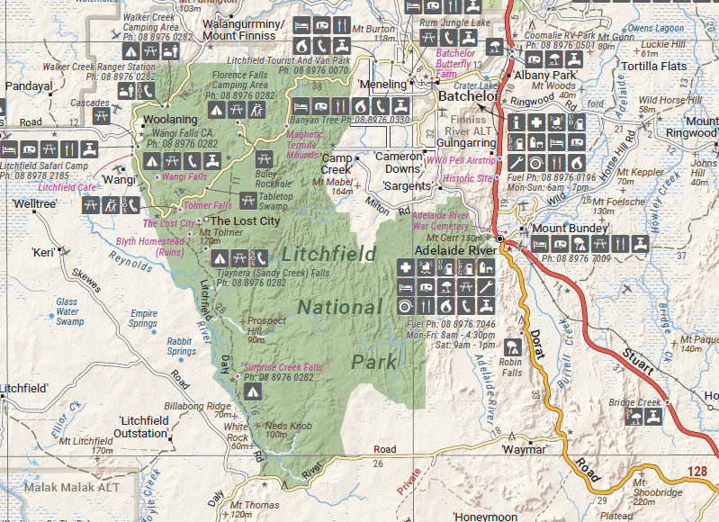
From Darwin and Kakadu to Arnhem Land and the Gulf, this waterproof Hema map covers the north of the Northern Territory for 4WD owners, caravanners and adventure travellers.

Hema Maps has been mapping Australia since 1983. This map is field checked by the Hema Map Patrol, with GPS-surveyed roads and tracks.
What's on the map
Darwin to the Gulf, with park insets
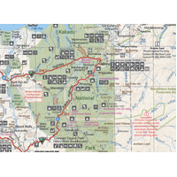
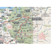
Along with the main map, there are maps of the Darwin region, Judbarra / Gregory National Park, Nhulunbuy, Keep River National Park and Boodjamulla (Lawn Hill) National Park. Touring notes cover Arnhem Land, the Roper River trek, the Douglas-Daly district, Nature's Way, the Victoria Highway, the Katherine region and the Stuart Highway.
- ✓GPS-surveyed roads and tracks
- ✓Self-drive 4WD tracks
- ✓Fuel stops and camping areas
- ✓Historic sites and points of interest
Frequently asked questions
Is the map waterproof?
Yes. It is printed on waterproof synthetic paper.
Which edition is this?
This is the 7th edition, with a main map scale of 1:1,650,000.
Does it cover Lawn Hill?
Yes. There is a detailed map of Boodjamulla (Lawn Hill) National Park, along with Judbarra / Gregory and Keep River national parks.
Does it show 4WD tracks?
Yes. Self-drive 4WD tracks are marked, along with GPS-surveyed roads, fuel stops and camping areas. Some areas, such as Arnhem Land, need permits, so check before you travel.
Pairs well with

In-depth guide to touring the Top End and Gulf, with atlas mapping.
$59.95 · View

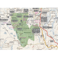
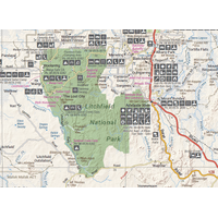
Detailed maps of Litchfield, Katherine Gorge and Kakadu national parks.
$15.95 · View

Features
- ✓Covers the Top End and Gulf country
- ✓Darwin region, Judbarra / Gregory, Nhulunbuy, Keep River and Lawn Hill maps
- ✓GPS-surveyed roads and tracks
- ✓Self-drive 4WD tracks
- ✓Fuel stops, camping areas and historic sites
- ✓Touring notes for Arnhem Land and the Roper River
- ✓Field checked by the Hema Map Patrol
- ✓Waterproof synthetic paper
Product Details
| SKU | 9321438001614 |
| Barcode # | 9321438001614 |
| Brand | Hema Maps |
| Shipping Weight | 0.0900kg |
| Shipping Width | 0.140m |
| Shipping Height | 0.005m |
| Shipping Length | 0.250m |