Hema The Victorian High Country - South Eastern Map 1:100,000 (2nd Edition)
In Stock - In Stock at Supplier - Item Ships in 2-5 business days
Special Order Item - Terms and Conditions apply.
Need it fast? Contact us to confirm lead times.
Pickup currently unavailable.
Buy Now, Pay Later.


DETAILS
Overview
From the Gippsland Lakes into the high country
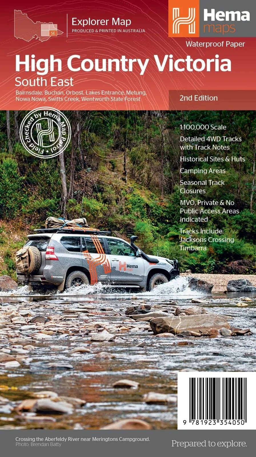
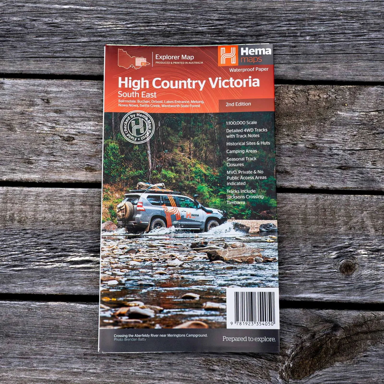
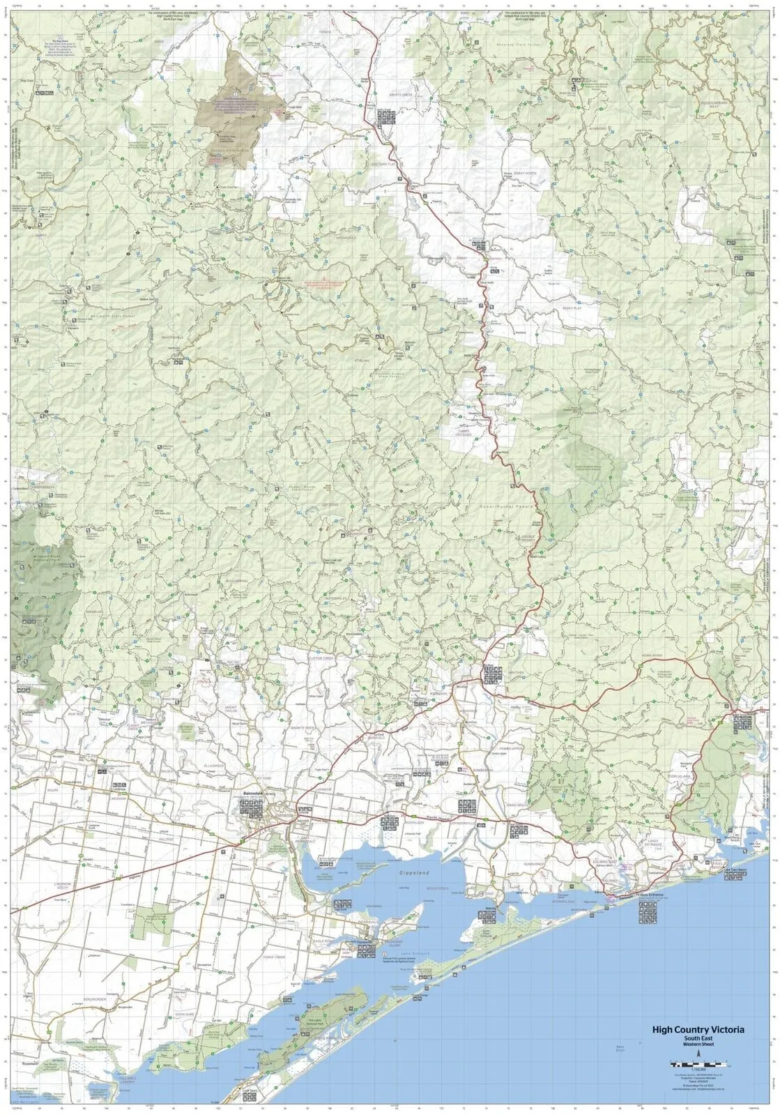
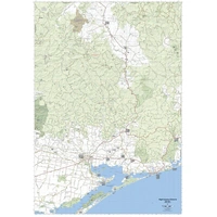
Want to swap the beach at Lakes Entrance for river crossings and forest tracks? This waterproof 1:100,000 map covers the south-east of the Victorian High Country, from Bairnsdale, Metung and Lakes Entrance up through Buchan, Orbost, Nowa Nowa and Swifts Creek.
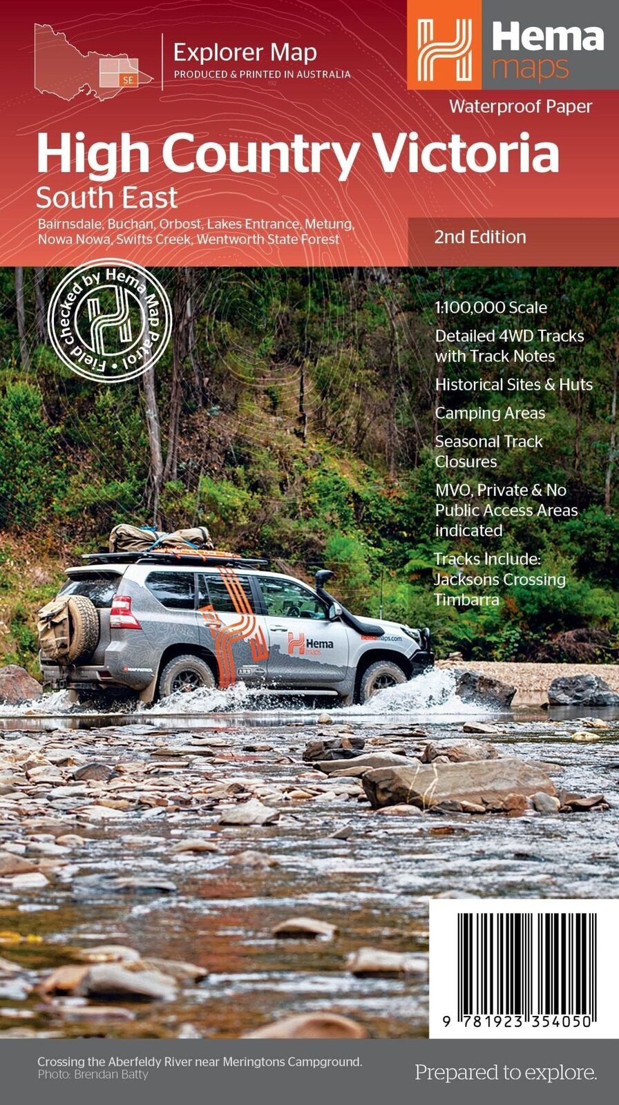
Hema Maps has been mapping Australia since 1983. Roads and 4WD tracks on this map are field checked by the Hema Map Patrol, and it is one of four maps in Hema's Victorian High Country series.
What's on the map
East Gippsland, mapped in detail
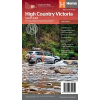
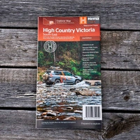
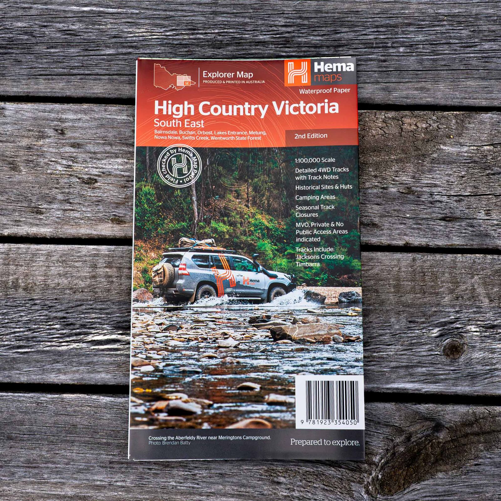
The cover lists Bairnsdale, Buchan, Orbost, Lakes Entrance, Metung, Nowa Nowa, Swifts Creek and Wentworth State Forest, taking in the country between the lakes and the ranges.
- ✓Detailed 4WD tracks with track notes
- ✓Tracks include Jacksons Crossing and Timbarra
- ✓Historical sites, old townsites and huts
- ✓Camping areas and accommodation
Plan your stops
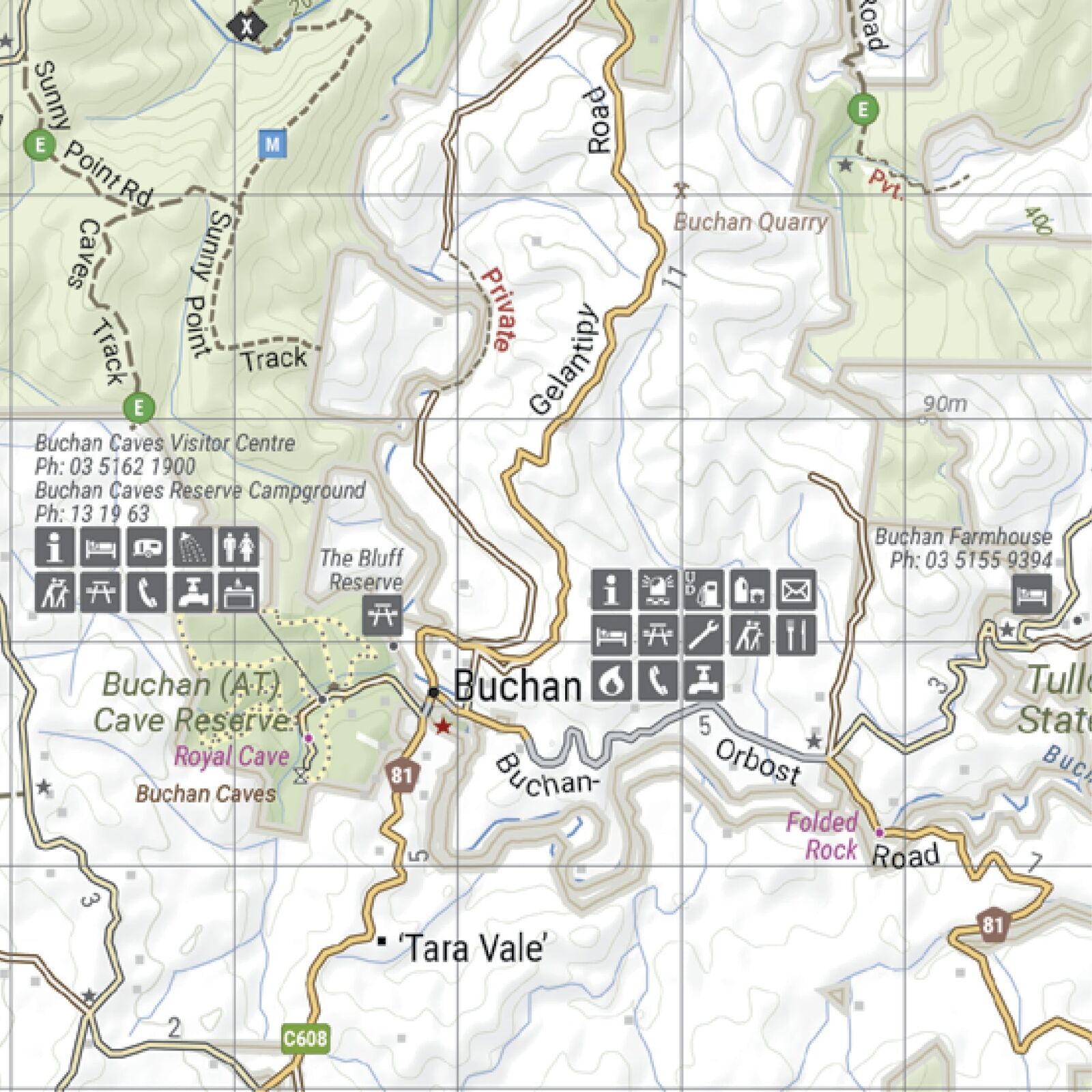
Towns, camps and caves
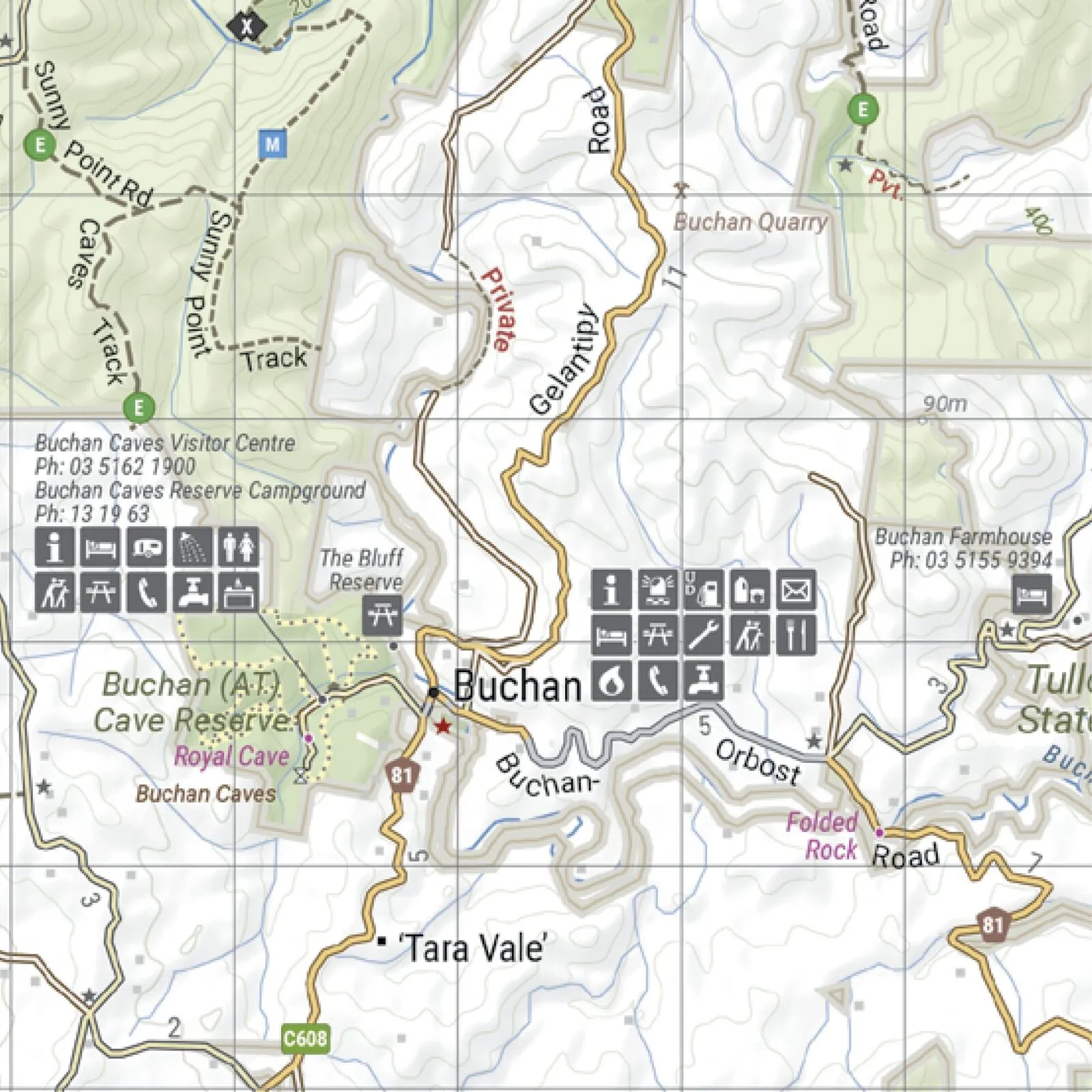
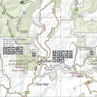
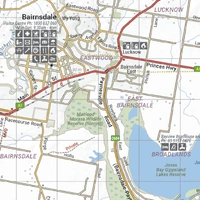
Towns are marked with the services you need, from fuel and food to visitor centres. Around Buchan, the map shows the Buchan Caves Reserve and its campground, plus the tracks heading north into the forest.
- ✓Visitor facilities and accommodation marked
- ✓Road distances for trip planning
- ✓Seasonal snowline and track closures
Lakes to ranges
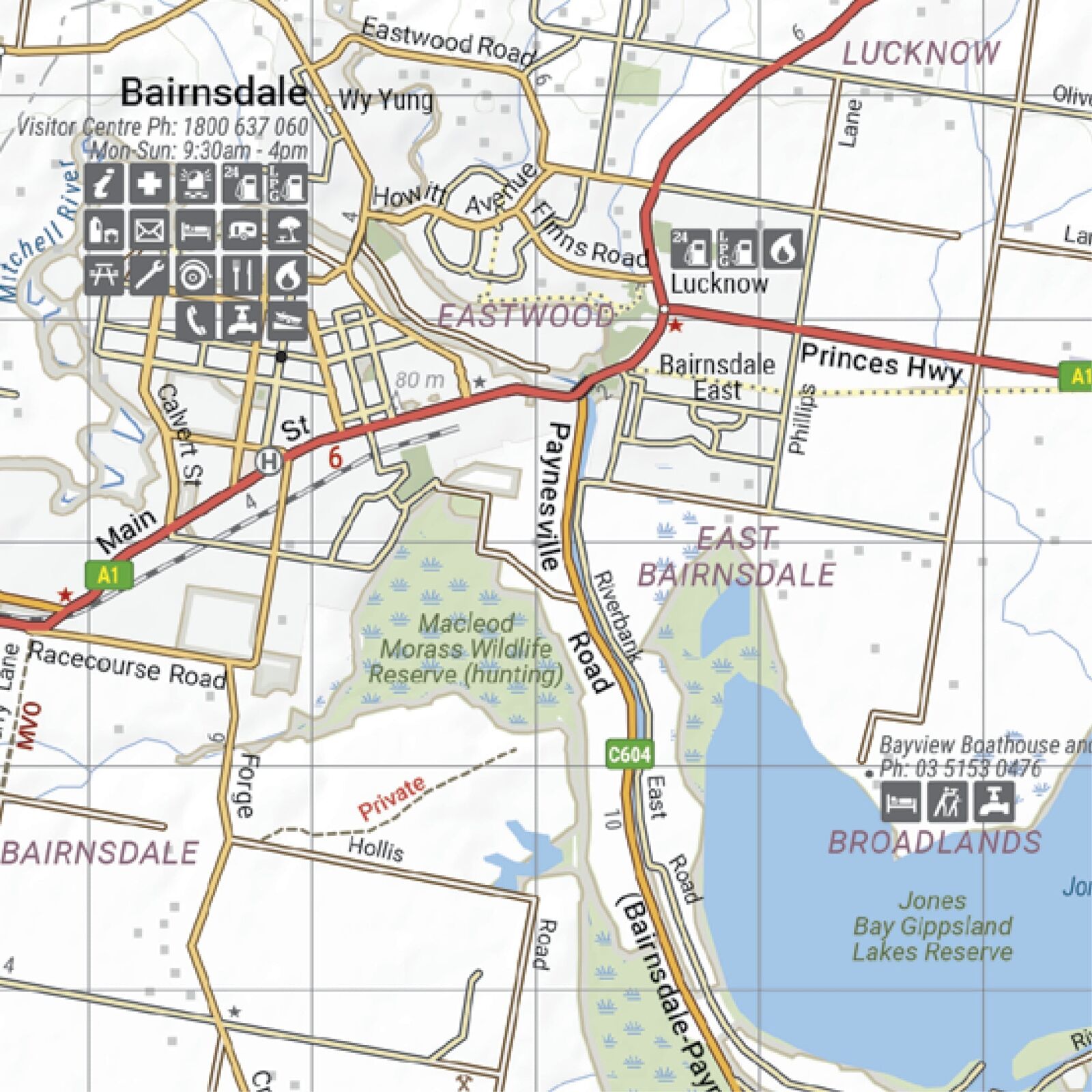
Start your trip on the coast
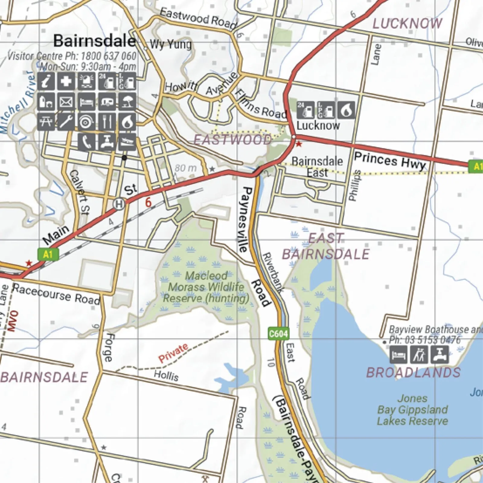
The southern edge of the map covers Bairnsdale and the Gippsland Lakes, so you can plan the whole run from the Princes Highway up into the hills. Private and no public access areas are marked to keep you on the right side of the fence.
- ✓MVO, private and no public access areas indicated
- ✓Latest bushfire-affected areas shown
Frequently asked questions
Is the map waterproof?
Yes. It is printed on waterproof synthetic paper, so it copes with rain, river crossings and life on the dash.
Which part of the High Country does it cover?
The south-east, including Bairnsdale, Buchan, Orbost, Lakes Entrance, Metung, Nowa Nowa, Swifts Creek and Wentworth State Forest.
Which edition is this?
This is the 2nd edition (ISBN 9781923354050) at 1:100,000 scale.
Which tracks are on it?
The cover highlights Jacksons Crossing and Timbarra, and the map shows detailed 4WD tracks with track notes across the region.
Is there a map for the rest of the High Country?
Yes. This is one of four 1:100,000 maps in the series: North East, North West, South East and South West. See the related maps below.
Pairs well with
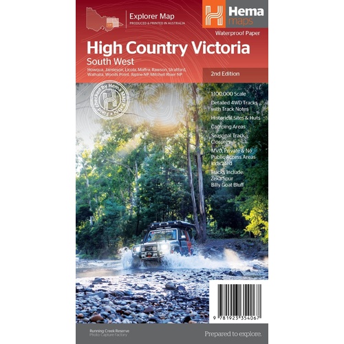
The neighbouring sheet: Zeka Spur, Billy Goat Bluff, Walhalla and Licola.
$15.95 · View
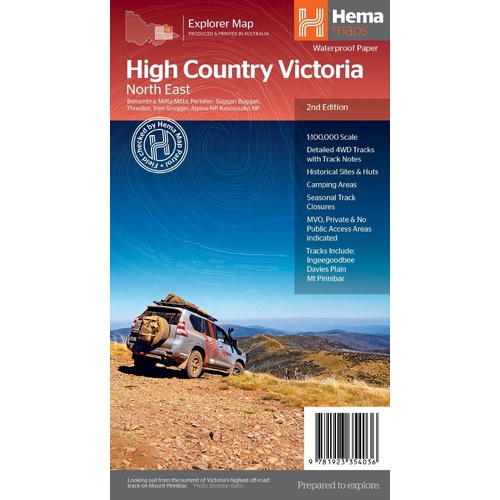
The northern borderlands: Davies Plain, Tom Groggin and Kosciuszko.
$15.95 · View

Track-by-track guide to the Victorian High Country, with atlas mapping.
$49.95 · View
Features
- ✓Covers Bairnsdale, Buchan, Orbost, Lakes Entrance and Swifts Creek
- ✓Detailed 1:100,000 scale with topographic detail
- ✓Jacksons Crossing and Timbarra tracks
- ✓Detailed 4WD tracks with track notes
- ✓Historical sites, old townsites and huts
- ✓Camping areas, accommodation and road distances
- ✓Seasonal snowline and track closures
- ✓MVO, private and no public access areas indicated
- ✓Field checked by the Hema Map Patrol
- ✓Waterproof synthetic paper
Product Details
| SKU | 9781923354050 |
| Barcode # | 9781923354050 |
| Brand | Hema Maps |
| Shipping Weight | 0.0700kg |
| Shipping Width | 0.140m |
| Shipping Height | 0.005m |
| Shipping Length | 0.250m |
Hema Maps has been mapping Australia since 1983, with touring and 4WD maps built from tracks its own teams have driven and GPS-surveyed. Hema Maps began in 1983, when Henry and Margaret Boegheim started laminating marine charts from their family home in South East Queensland, naming the business aft...
Find Out More