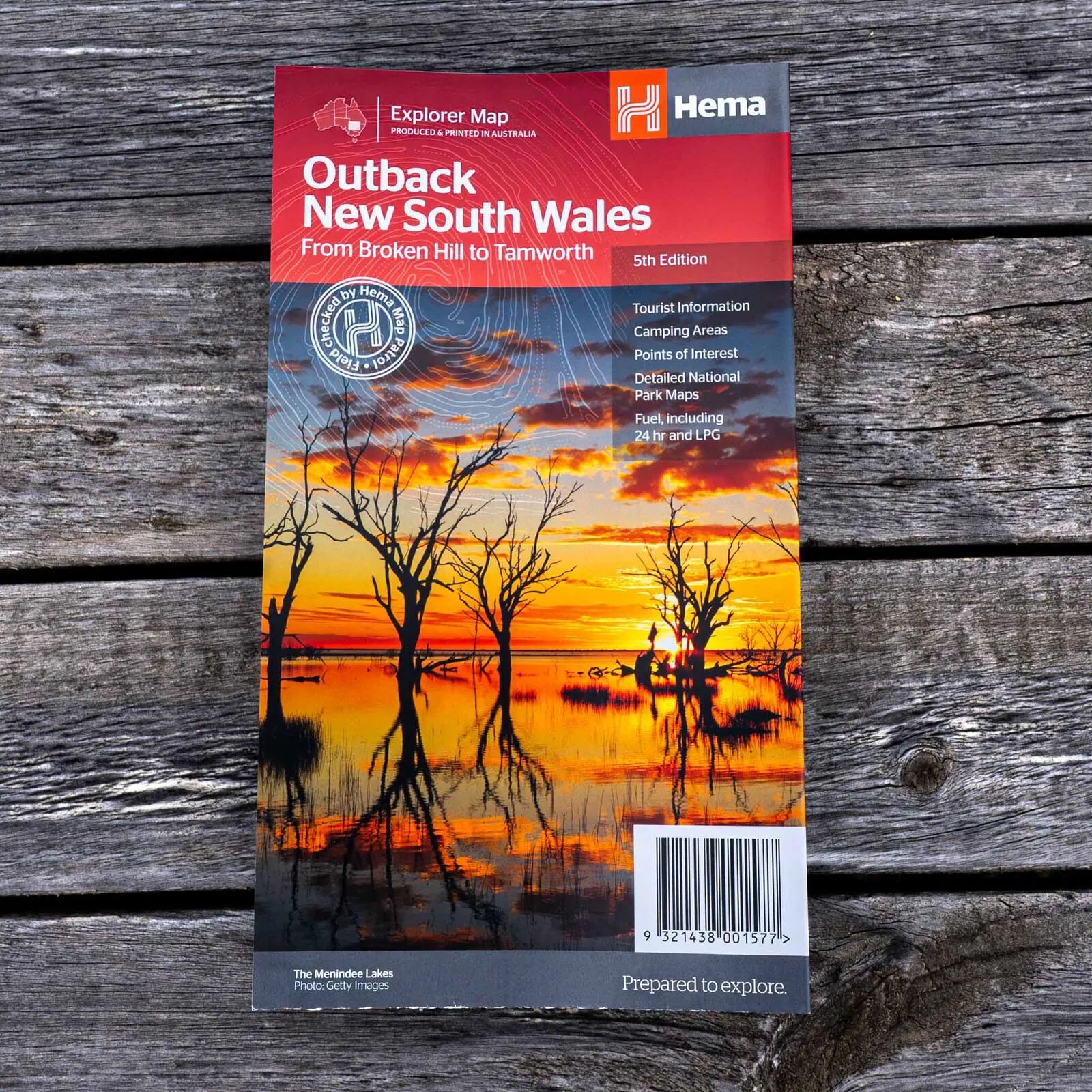
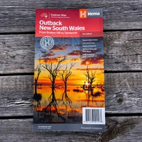
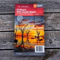
Hema Outback New South Wales Map - From Broken Hill to Tamworth (5th Edition)
In Stock - In Stock at Supplier - Item Ships in 2-5 business days
Special Order Item - Terms and Conditions apply.
Need it fast? Contact us to confirm lead times.
Pickup currently unavailable.
Buy Now, Pay Later.


DETAILS
Overview
Head west into the real outback
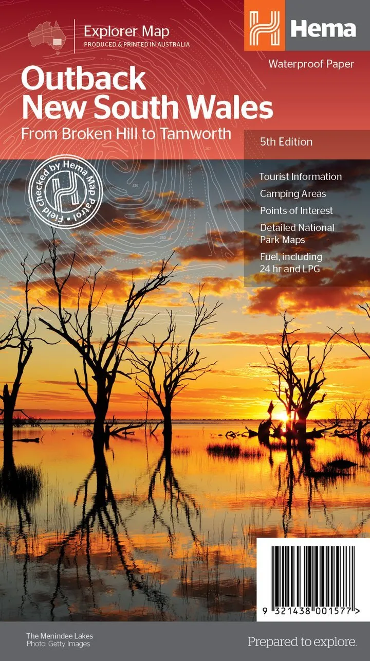
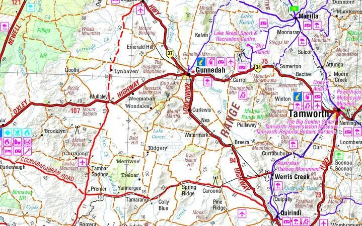
Hema's Outback New South Wales map covers a huge slice of inland NSW, from Tamworth across to Broken Hill and from Wagga Wagga north to beyond the Queensland border. It is made for tourers heading past the highways into remote country.

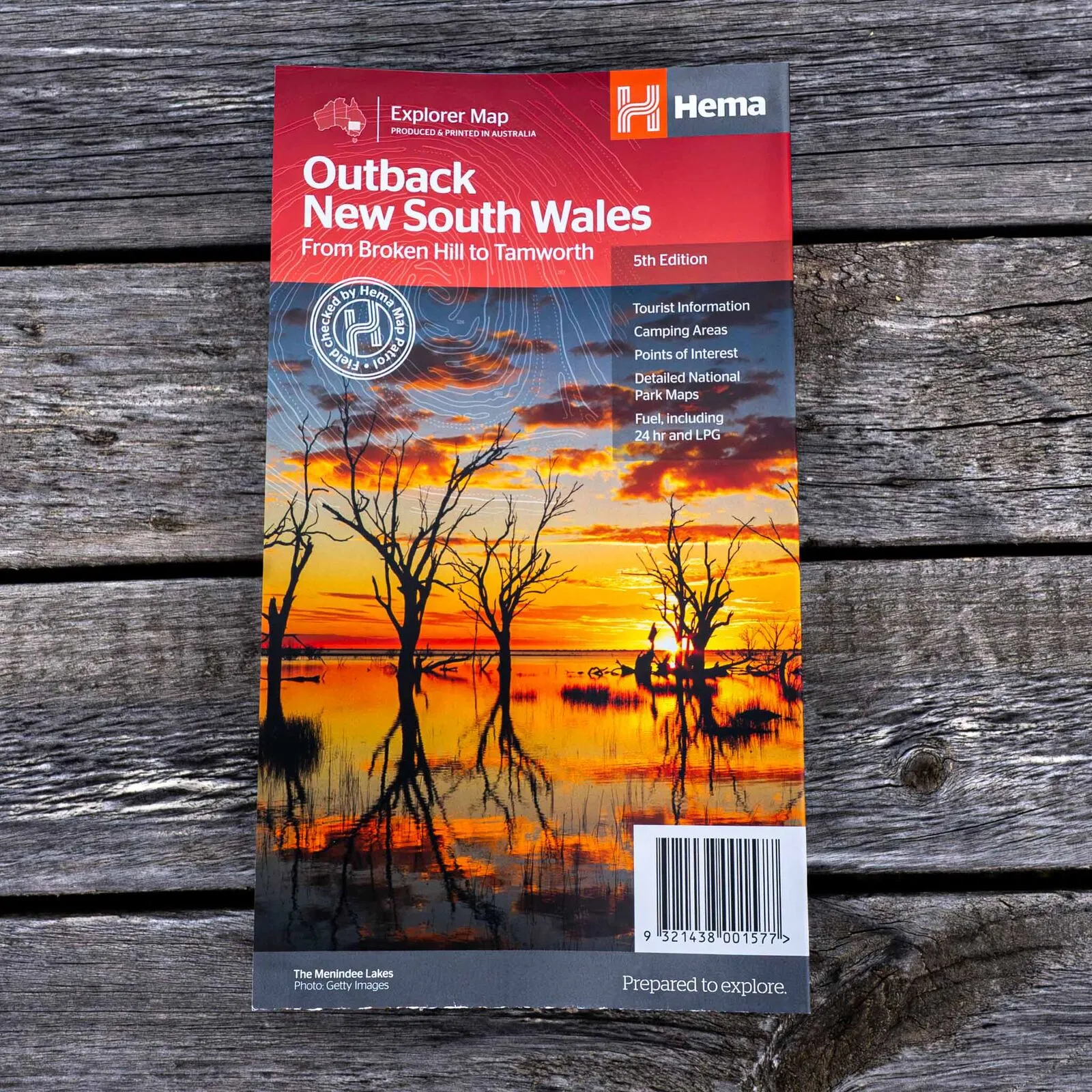
Hema Maps has been mapping Australia since 1983. This Explorer Map carries Hema's Map Patrol field-checked seal and is produced and printed in Australia.
What's on the map
Camps, fuel and points of interest
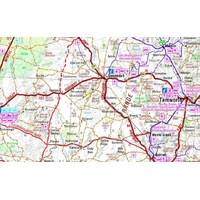
Camping areas, points of interest and fuel, including 24-hour fuel and LPG, are marked across the region, so you can plan the long legs between towns.
- ✓Camping areas
- ✓Fuel, including 24-hour and LPG
- ✓Points of interest
- ✓Printed on waterproof paper

Plan before you go

Region-by-region touring notes
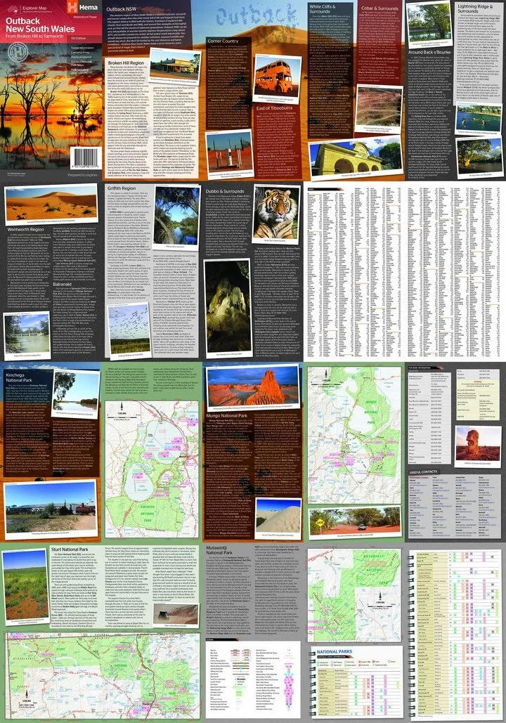
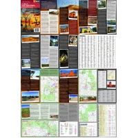
The reverse is packed with visitor, history and background notes for Broken Hill, Corner Country, east of Tibooburra, White Cliffs, Cobar, Back o' Bourke, Lightning Ridge, Wentworth, Balranald, Griffith and Dubbo.
National parks
Detailed park maps
Detailed maps cover Kinchega, Mungo, Sturt and Mutawintji national parks, some of the best outback country in the state.
- ✓Kinchega National Park
- ✓Mungo National Park
- ✓Sturt National Park
- ✓Mutawintji National Park
Frequently asked questions
Is the map waterproof?
Yes. The cover states it is printed on waterproof paper.
What area does it cover?
From Tamworth in the east to Broken Hill in the west, and from Wagga Wagga in the south to past the Queensland border in the north.
Does it cover Mungo National Park?
Yes. There are detailed maps of Mungo, Kinchega, Sturt and Mutawintji national parks.
Which edition is this?
This is the 5th edition (barcode 9321438001577).
Pairs well with


Features
- ✓Tamworth to Broken Hill, Wagga Wagga to past the QLD border
- ✓Regional mapping at 1:1,100,000
- ✓Detailed national park maps
- ✓Kinchega, Mungo, Sturt and Mutawintji national parks
- ✓Camping areas and points of interest
- ✓Fuel, including 24-hour and LPG
- ✓Regional touring and history notes on the reverse
- ✓Waterproof paper, field checked by the Hema Map Patrol
Product Details
| SKU | 9321438001577 |
| Barcode # | 9321438001577 |
| Brand | Hema Maps |
| Shipping Weight | 0.0900kg |
| Shipping Width | 0.140m |
| Shipping Height | 0.005m |
| Shipping Length | 0.250m |
Hema Maps has been mapping Australia since 1983, with touring and 4WD maps built from tracks its own teams have driven and GPS-surveyed. Hema Maps began in 1983, when Henry and Margaret Boegheim started laminating marine charts from their family home in South East Queensland, naming the business aft...
Find Out More