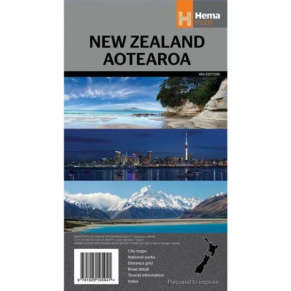
Hema New Zealand Aotearoa Map (6th Edition)
In Stock - In Stock at Supplier - Item Ships in 2-5 business days
Special Order Item - Terms and Conditions apply.
Need it fast? Contact us to confirm lead times.
Pickup currently unavailable.
Buy Now, Pay Later.


DETAILS
Overview
Both islands, plus six city maps
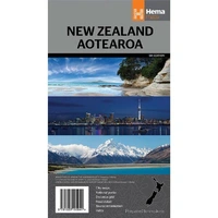
Heading across the Tasman for a campervan or road trip? Hema's New Zealand Aotearoa map shows the whole country on one side, with city and suburb maps of the main centres on the back.
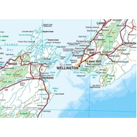
Road distances, national parks and conservation areas are marked, and a distance grid and index help you plan each leg.
What's on the map
The whole country at a glance
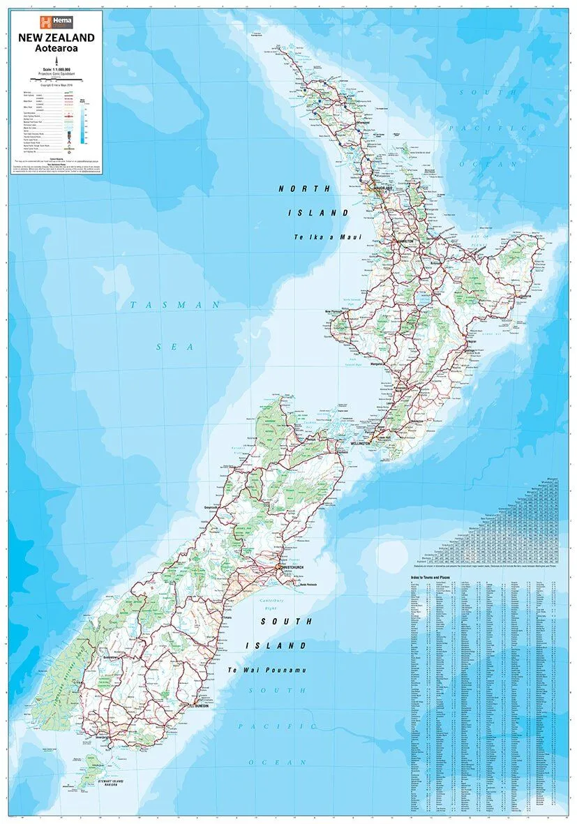
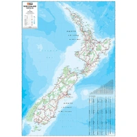
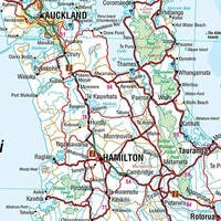
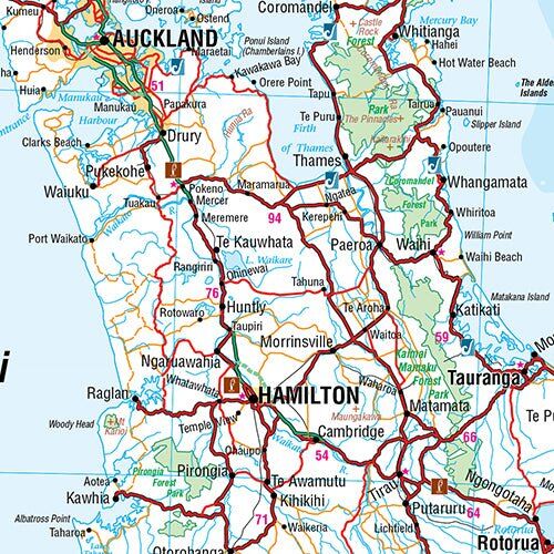
The main side covers the North and South islands, with the road network, national parks and conservation areas. Road distances help you work out how far you can get in a day.
- ✓Road distances and distance grid
- ✓National parks and conservation areas
- ✓Index of towns and places
City maps
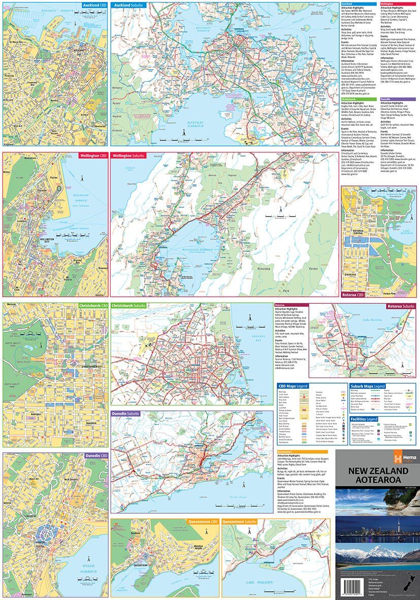
Find your way in town
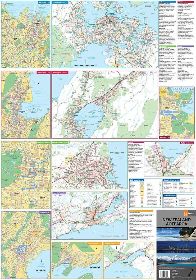
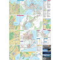
The reverse has CBD and suburb maps of Auckland, Wellington, Christchurch, Dunedin, Queenstown and Rotorua. Each comes with city attractions, activities and travel information.
- ✓Six CBD and suburb maps
- ✓Attractions and activities for each city
Plan before you go
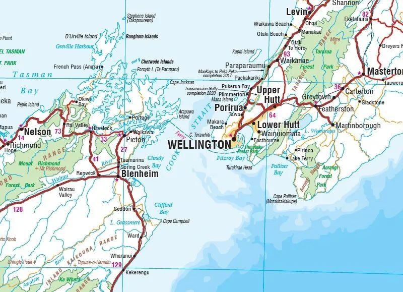
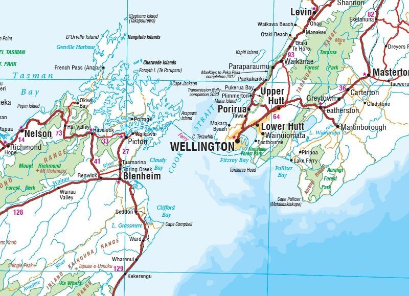
From the Cook Strait to the Southern Alps
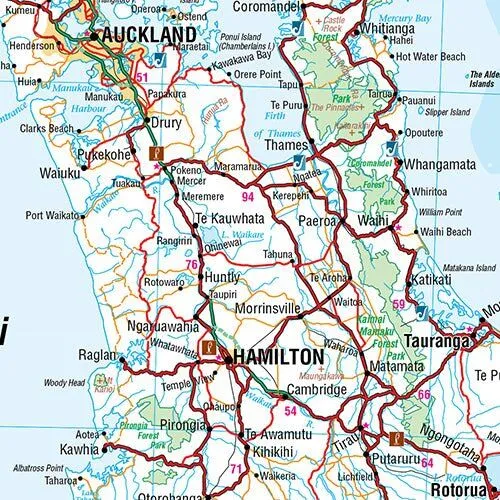
Clear road detail and shaded parks make it easy to plan a loop of both islands, or pick a region to explore in more depth.
Frequently asked questions
Which edition is this?
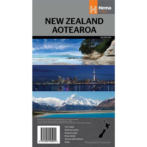
This is the 6th edition (ISBN 9781925195941).
Which cities are mapped?
Auckland, Wellington, Christchurch, Dunedin, Queenstown and Rotorua each have CBD and suburb maps on the reverse.
Does it cover both islands?
Yes. The main map covers the North and South islands at 1:1,600,000.
Do I need a more detailed map?
For more detail, Hema also makes separate North Island and South Island maps at 1:1,000,000.
Pairs well with
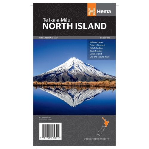
The North Island at 1:1,000,000, with 13 city maps on the reverse.
$15.95 · View
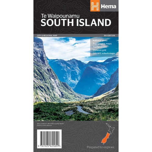
The South Island at 1:1,000,000, with city and national park maps.
$15.95 · View
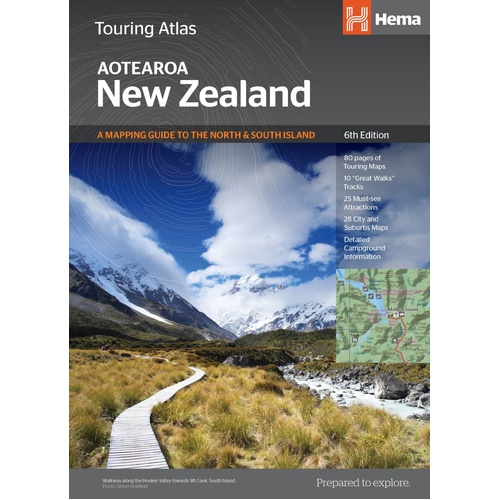
Hema's touring atlas of New Zealand for planning the whole trip.
$39.95 · View
Features
- ✓Whole of New Zealand at 1:1,600,000
- ✓CBD and suburb maps of six cities
- ✓Auckland, Wellington and Christchurch
- ✓Dunedin, Queenstown and Rotorua
- ✓City attractions, activities and travel information
- ✓National parks and conservation areas
- ✓Road distances and distance grid
- ✓Full index of places
Product Details
| SKU | 9781925195941 |
| Barcode # | 9781925195941 |
| Brand | Hema Maps |
| Shipping Weight | 0.0900kg |
| Shipping Width | 0.140m |
| Shipping Height | 0.003m |
| Shipping Length | 0.250m |
Hema Maps has been mapping Australia since 1983, with touring and 4WD maps built from tracks its own teams have driven and GPS-surveyed. Hema Maps began in 1983, when Henry and Margaret Boegheim started laminating marine charts from their family home in South East Queensland, naming the business aft...
Find Out More