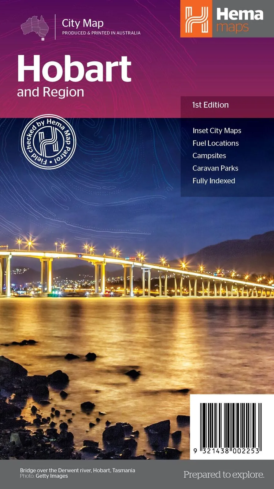
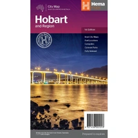
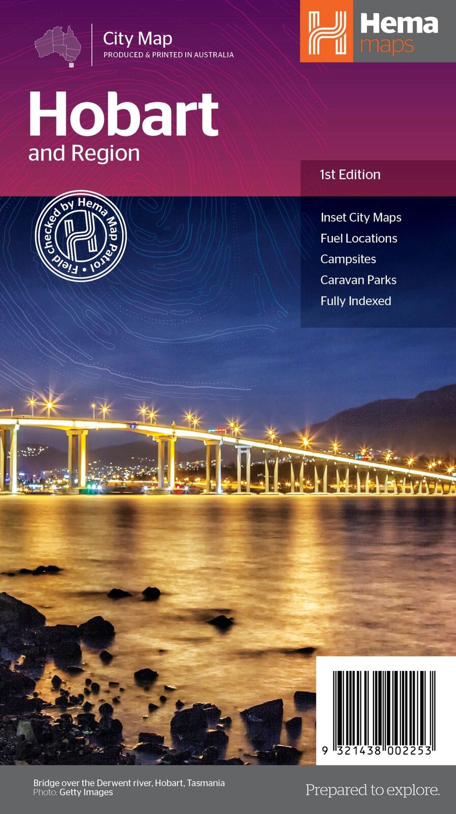
Hema Hobart & Region Map - City Map (1st Edition)
In Stock - In Stock at Supplier - Item Ships in 2-5 business days
Special Order Item - Terms and Conditions apply.
Need it fast? Contact us to confirm lead times.
Pickup currently unavailable.
Buy Now, Pay Later.


DETAILS
Overview
Explore Hobart and beyond with confidence
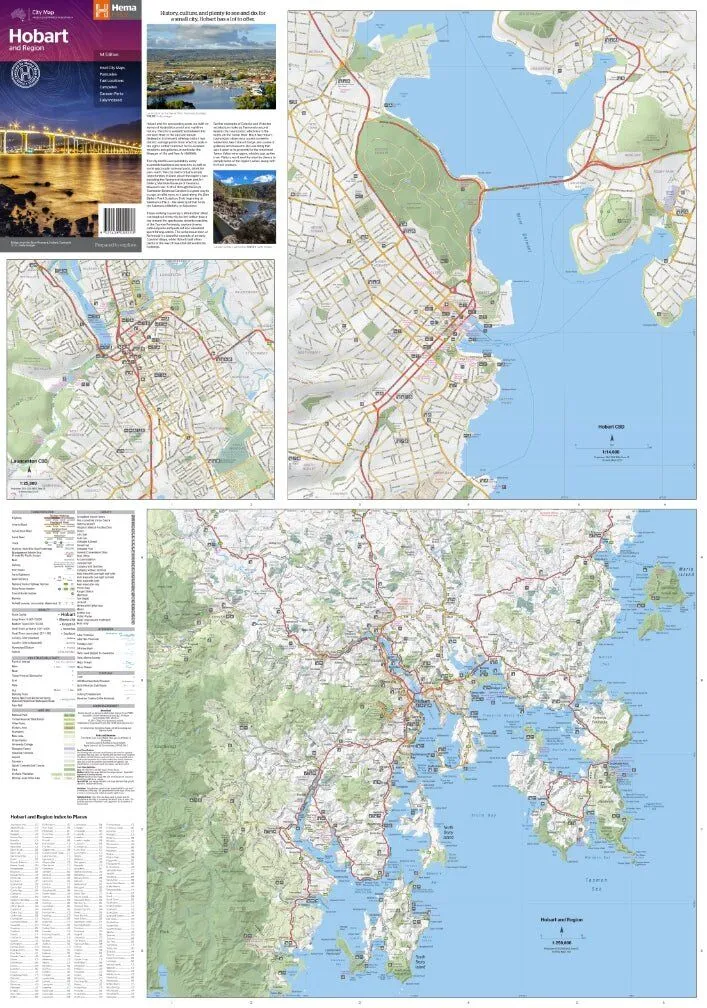
Off the ferry and heading for Hobart? This Hema map covers greater Hobart in detail, with the CBD, Launceston and the wider region on the reverse, so you can plan Salamanca, kunanyi / Mount Wellington and day trips down the peninsula.
Hema Maps has been mapping Australia since 1983. Its maps are produced and printed in Australia, and Hema's Map Patrol team drives the roads and tracks to field-check the mapping.
What's on the map
Greater Hobart in detail
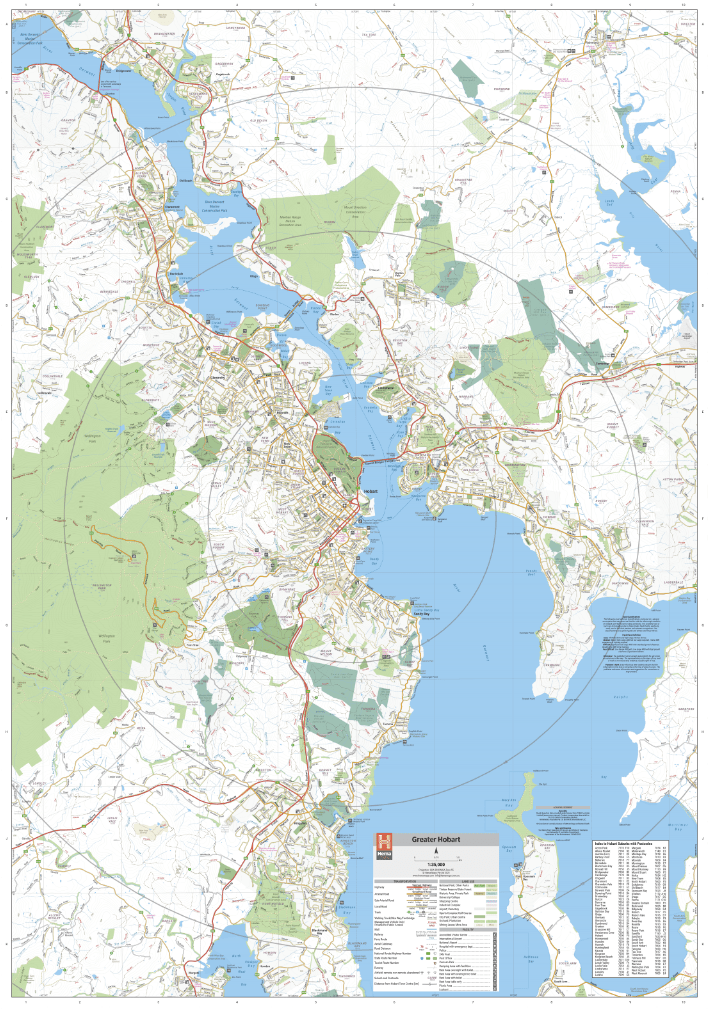
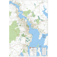
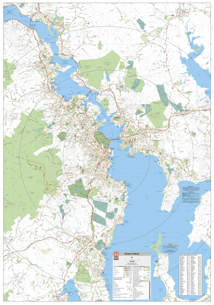
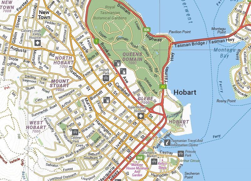
The primary map covers greater Hobart at 1:35,000, along both sides of the Derwent. It is fully indexed and shows fuel locations, campsites and caravan parks, so finding a site and a servo is easy.
- ✓Greater Hobart at 1:35,000
- ✓Fuel, campsites and caravan parks
- ✓Fully indexed
Built for touring
Up the valley and over the range
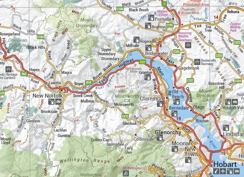
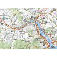
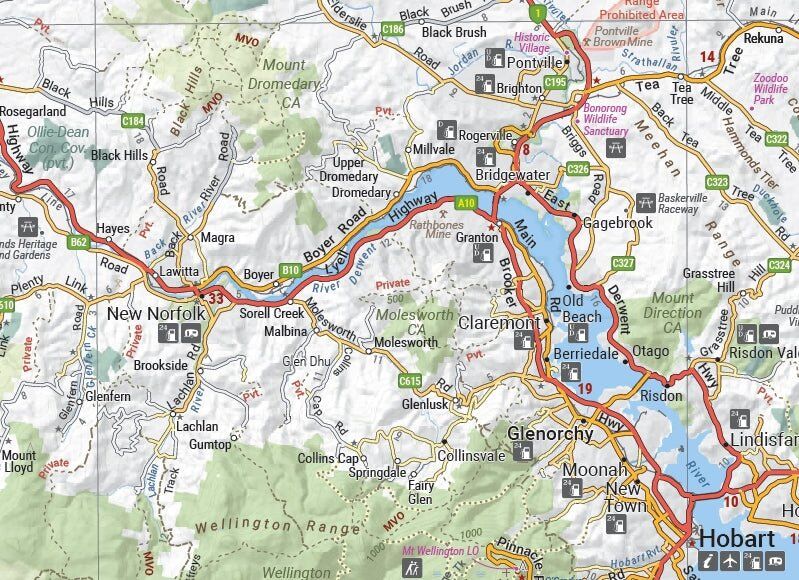
Roads out to New Norfolk, Brighton and the Derwent Valley are clearly shown, with relief shading on the hills, highway numbers and symbols for fuel, caravan parks and attractions.
- ✓Relief shading and lookouts
- ✓Highway and road numbers
- ✓Attractions and visitor information
The reverse side
City centre, Launceston and the region
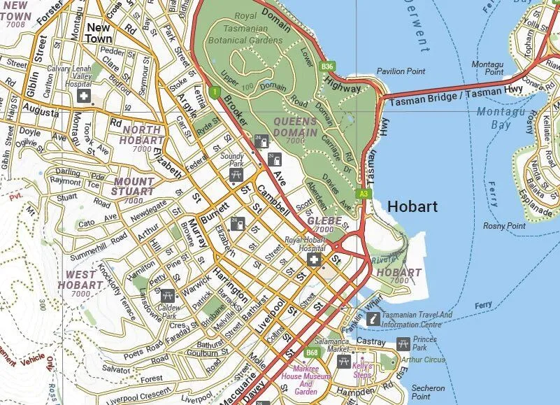
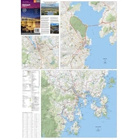
The other side has a Hobart CBD map at 1:14,000, Launceston city and region at 1:25,000 and a Greater Hobart overview at 1:250,000, with major attractions and accommodation shown, plus an overview of places to visit.
- ✓Hobart CBD at 1:14,000
- ✓Launceston city and region at 1:25,000
- ✓Greater Hobart overview at 1:250,000
Frequently asked questions
Which edition is this?
This is the 1st edition of Hema's Hobart & Region map (barcode 9321438002253), published in 2021.
Does it include Launceston?
Yes. There is a Launceston city and region map at 1:25,000 on the reverse.
Are campsites and caravan parks shown?
Yes. The greater Hobart map marks fuel locations, campsites and caravan parks.
Is the map waterproof?
No. Hema prints this city map on standard paper. It folds back to glovebox size, and a Hema map wallet will keep it clean and flat between uses.
Pairs well with


Tasmania in book form, with touring notes and detailed maps.
$49.95 · View

Features
- ✓Greater Hobart at 1:35,000, fully indexed
- ✓Hobart CBD map at 1:14,000
- ✓Launceston city and region at 1:25,000
- ✓Greater Hobart overview at 1:250,000
- ✓Fuel, campsites and caravan parks marked
- ✓Major attractions and accommodation shown
- ✓Field checked by the Hema Map Patrol
- ✓Produced and printed in Australia
Product Details
| SKU | 9321438002253 |
| Barcode # | 9321438002253 |
| Brand | Hema Maps |
| Shipping Weight | 0.0700kg |
| Shipping Width | 0.118m |
| Shipping Height | 0.003m |
| Shipping Length | 0.250m |