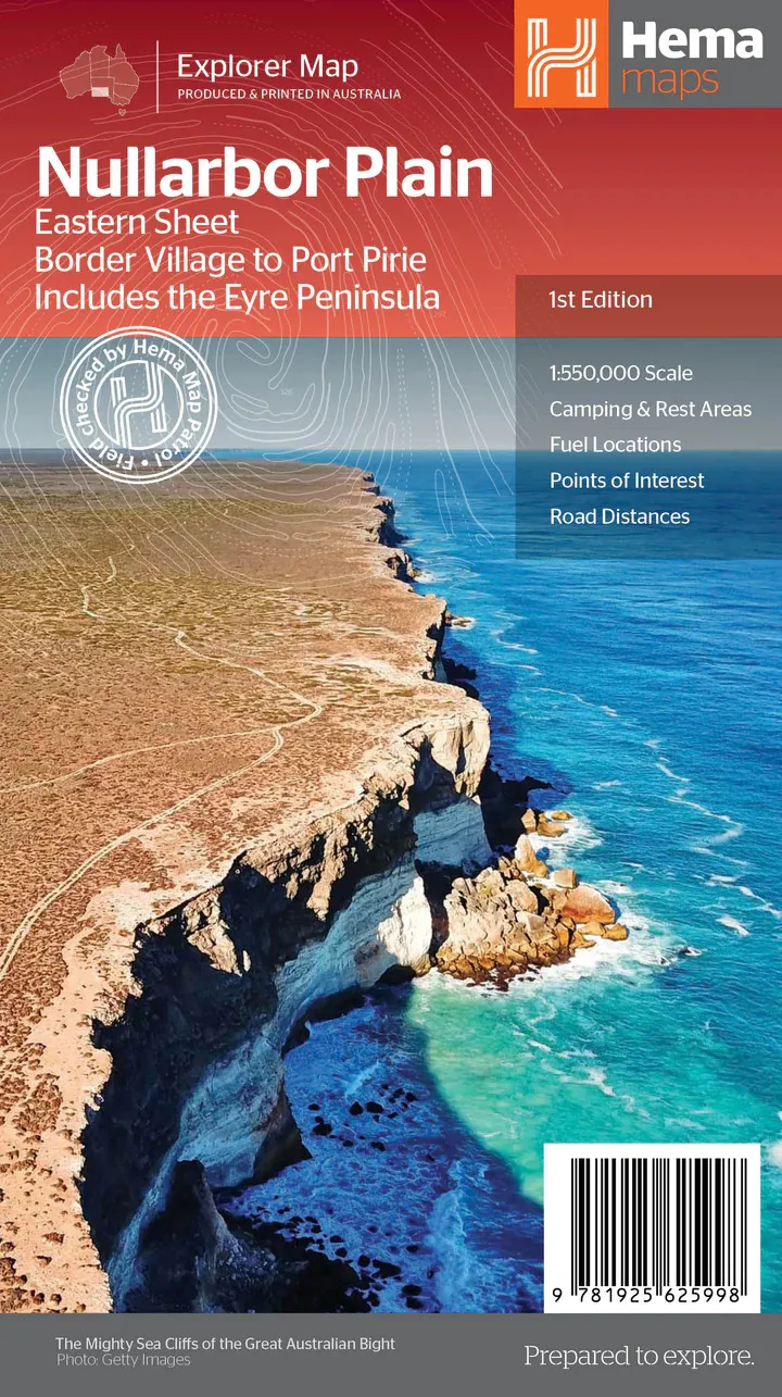
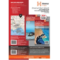
Hema Nullarbor Plain Eastern Map - Border Village to Port Pirie (1st Edition)
In Stock - In Stock at Supplier - Item Ships in 2-5 business days
Special Order Item - Terms and Conditions apply.
Need it fast? Contact us to confirm lead times.
Pickup currently unavailable.
Buy Now, Pay Later.


DETAILS
Overview
Cross the Nullarbor, east side
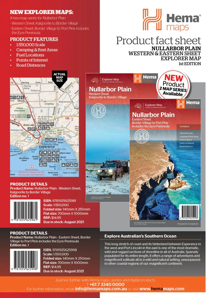
The Nullarbor is one of the world's great road trips, some 1,256 km along the Eyre Highway between Adelaide and Perth. Hema maps it over two sheets. This Eastern sheet runs from Border Village to Port Pirie and includes the Eyre Peninsula.

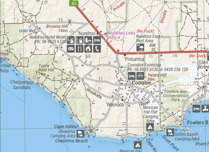
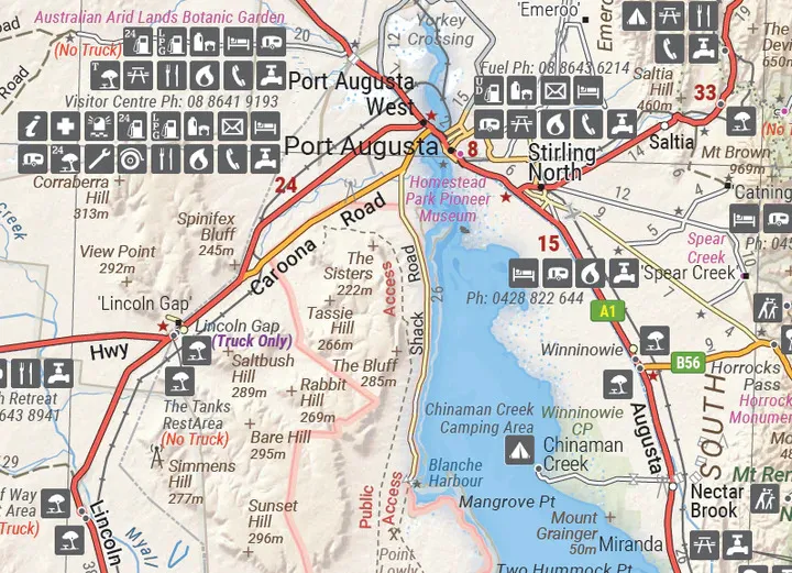
Hema Maps has been mapping Australia since 1983. Every key stop and facility along the Eyre Highway is listed, and the 4WD tracks are field checked by the Hema Map Patrol.
Beyond the bitumen
Caves, beaches and Googs Track
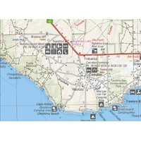
The map helps you look past the highway, to the Nullarbor caves, the beaches of the Great Australian Bight and thousands of kilometres of 4WD tracks, including Googs Track.
- ✓4WD tracks, including Googs Track
- ✓Caves and beaches
- ✓Camping and rest areas
- ✓Topographic information

Built for the crossing

Fuel, beds and distances
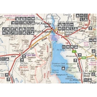
Fuel locations, accommodation and road distances are marked, so you can plan each day's run and know where the next fuel stop is. Notes on the history of the region add interest along the way.
- ✓Fuel locations
- ✓Accommodation
- ✓Road distances
- ✓History of the area
Frequently asked questions
What area does this sheet cover?
Border Village to Port Pirie, including the Eyre Peninsula. The Western sheet covers Kalgoorlie to Border Village.
Do I need both sheets to cross the Nullarbor?
For the full Adelaide to Perth crossing, yes. The two sheets meet at Border Village.
Does it show Googs Track?
Yes. Googs Track is among the 4WD tracks shown, field checked by the Hema Map Patrol.
Which edition is this?
This is the 1st edition (ISBN 9781925625998), at 1:550,000.
Pairs well with


Waterproof map of the Flinders Ranges, with national park insets.
$15.95 · View

Features
- ✓Border Village to Port Pirie, including the Eyre Peninsula
- ✓Main map at 1:550,000
- ✓All key stops and facilities on the Eyre Highway
- ✓4WD tracks, including Googs Track
- ✓Nullarbor caves and Great Australian Bight beaches
- ✓Camping and rest areas, fuel and accommodation
- ✓Road distances and history of the area
- ✓Field checked by the Hema Map Patrol
Product Details
| SKU | 9781925625998 |
| Barcode # | 9781925625998 |
| Brand | Hema Maps |
| Shipping Weight | 0.0900kg |
| Shipping Width | 0.140m |
| Shipping Height | 0.005m |
| Shipping Length | 0.250m |