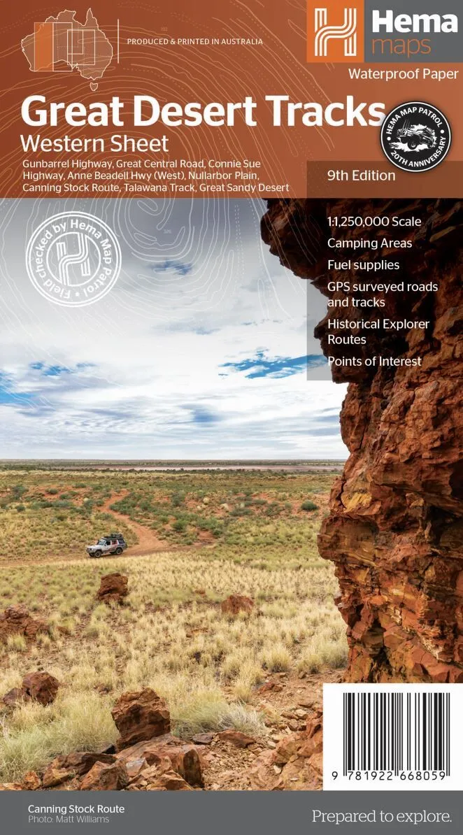
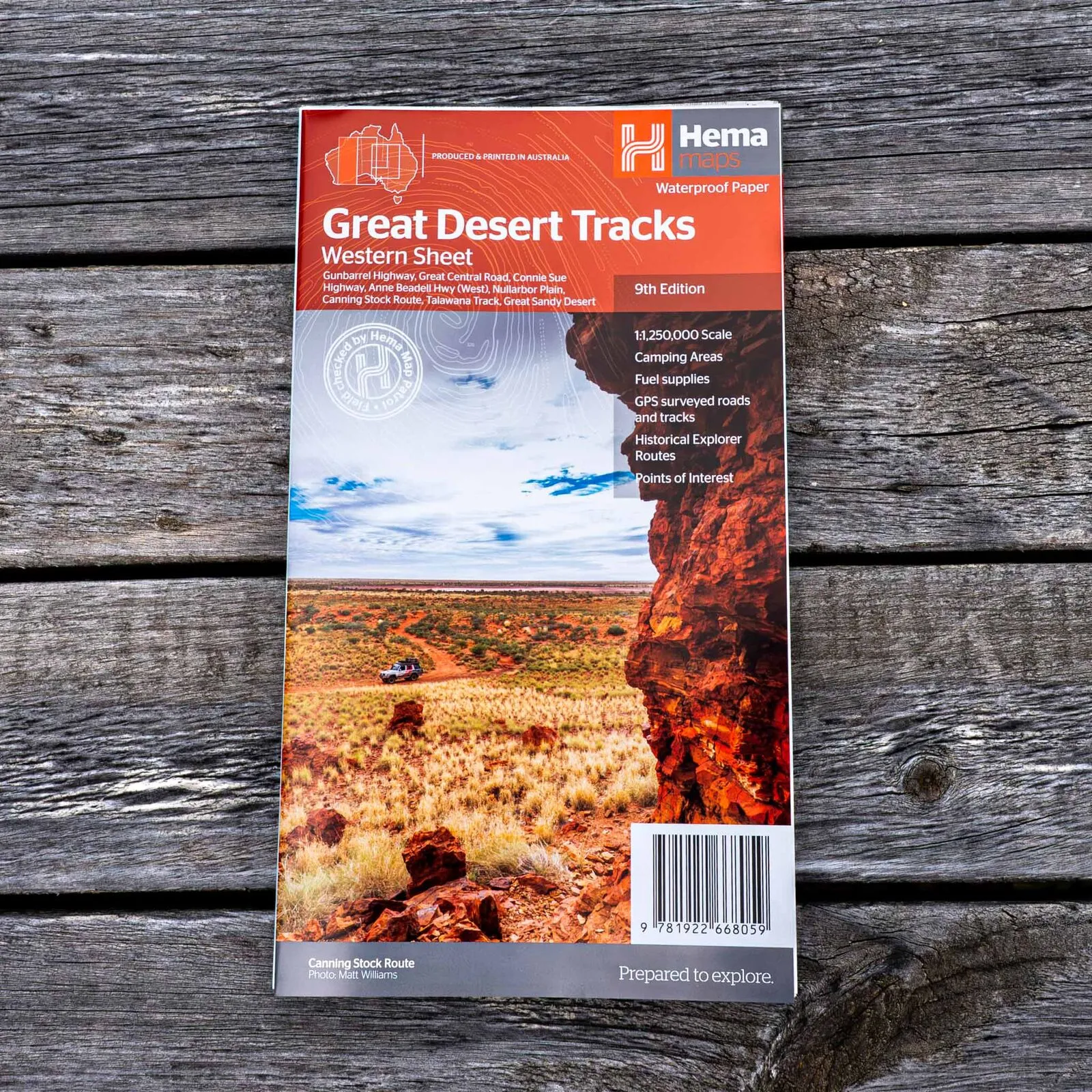
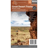
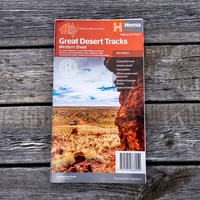
Hema Great Desert Tracks Western Sheet Map (9th Edition)
In Stock - In Stock at Supplier - Item Ships in 2-5 business days
Special Order Item - Terms and Conditions apply.
Need it fast? Contact us to confirm lead times.
Pickup currently unavailable.
Buy Now, Pay Later.


DETAILS
Overview
Plan WA's big desert crossings
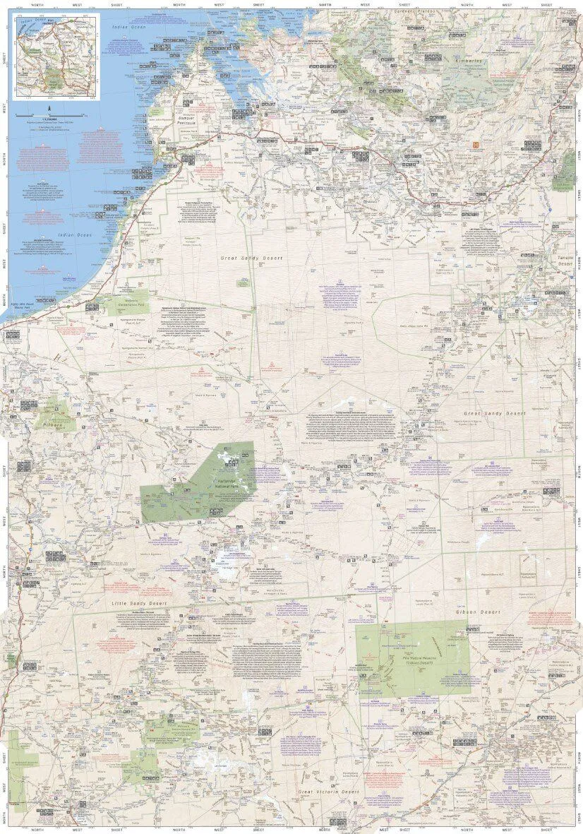
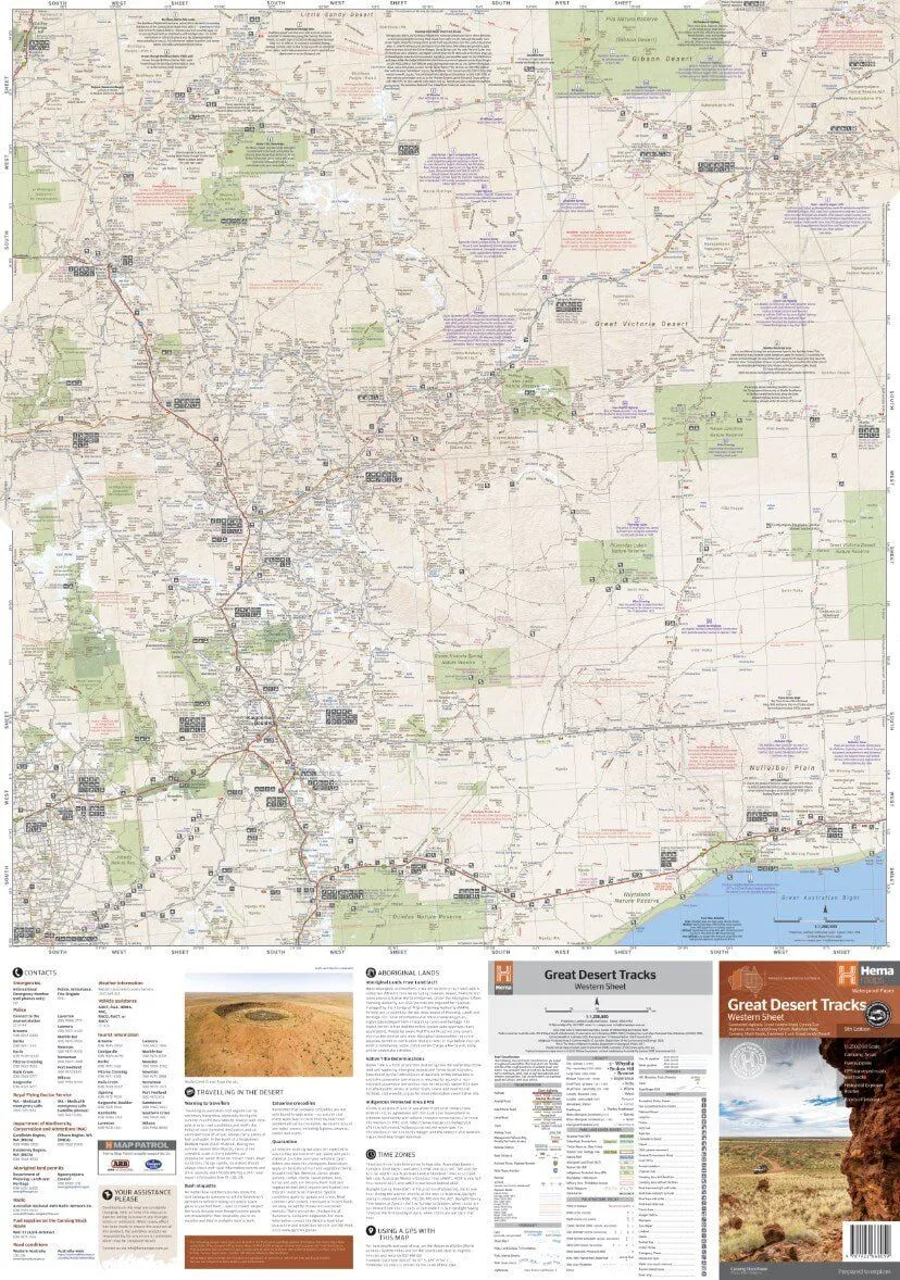
The Canning Stock Route, the Gunbarrel, the Great Central Road: the Western Sheet covers them all, from beyond Derby in the north to Norseman in the south, and from Marble Bar across to Halls Creek.
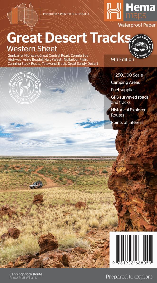
Hema Maps has been mapping Australia since 1983. The Great Desert Tracks series is field checked by the Hema Map Patrol, the team that drives the outback roads and tracks to check the mapping first-hand.
What's on the map
The west from Derby to Norseman
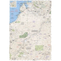
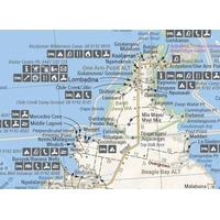
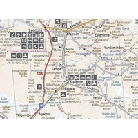
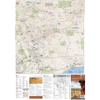
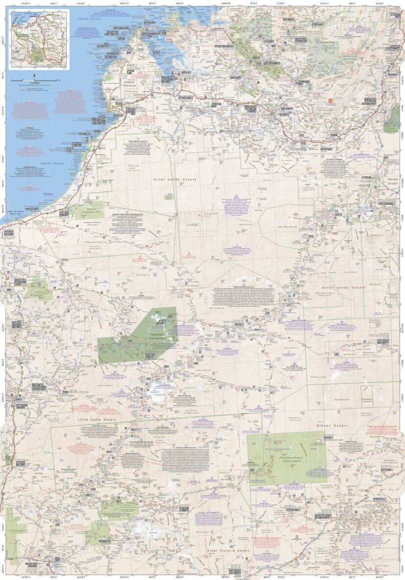
Two sides cover Western Australia's desert country, with roads and 4WD tracks, distance markers and topographic relief. The northern side runs from the Dampier Peninsula and the Kimberley coast down through the Great Sandy Desert.
- ✓Canning Stock Route and Talawana Track
- ✓Gunbarrel Highway and Great Central Road
- ✓Connie Sue Highway and Anne Beadell Highway (West)
- ✓Great Sandy Desert and the Nullarbor Plain
Built for the track
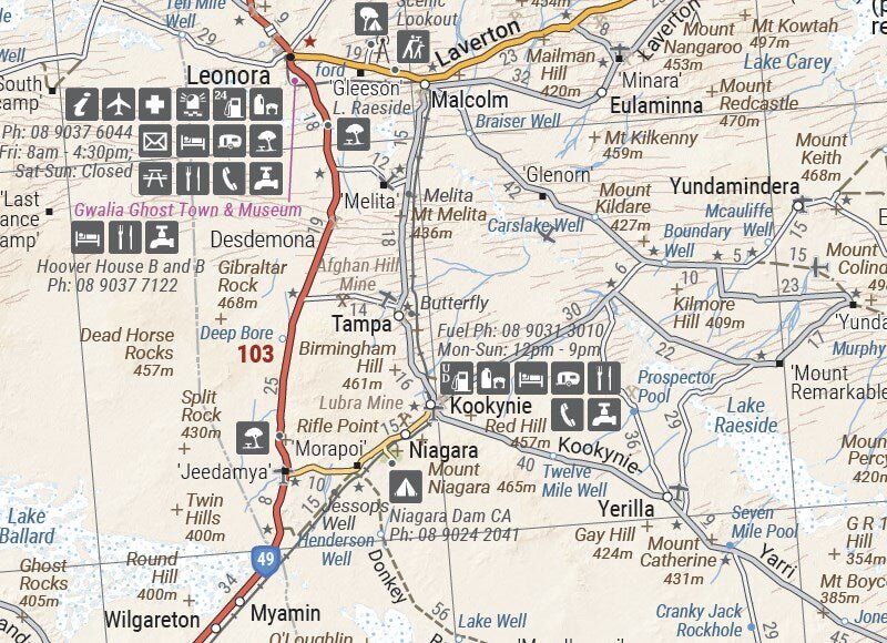
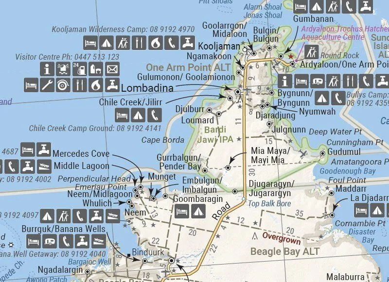
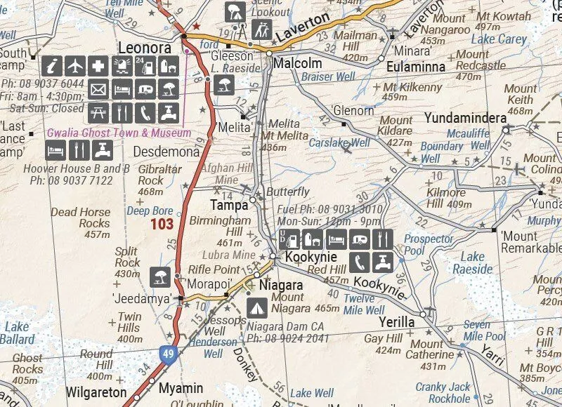
Fuel, water and services marked
Communities, roadhouses and stations carry service symbols, so you can see where to find fuel, supplies and help. Distances between points make it easier to plan fuel and water on the long legs.
- ✓GPS surveyed roads and tracks
- ✓Fuel supplies and camping areas
- ✓Historical explorer routes
Plan before you go
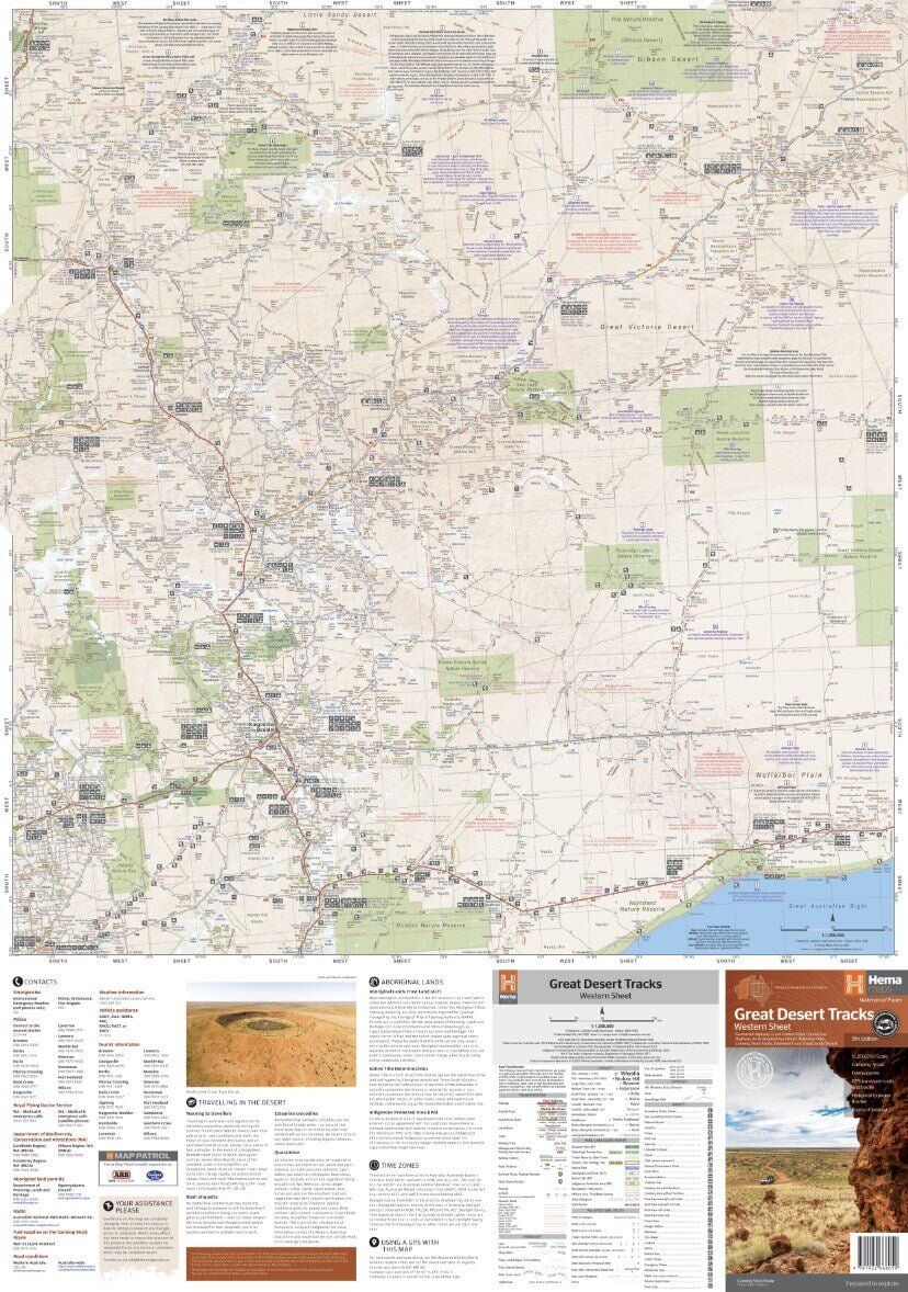
Touring notes on the reverse
The southern side carries notes on travelling in the desert, what you need for the trip and useful contacts, alongside the mapping of the southern deserts and the Goldfields.
- ✓Desert travel advice
- ✓What to take
- ✓Relevant contacts
Frequently asked questions
Is the map waterproof?
Yes. Great Desert Tracks maps are printed on durable, waterproof paper, so they cope with dust, spills and wet hands.
Which edition is this?
This is the 9th edition of the Great Desert Tracks Western Sheet (ISBN 9781922668059), published in June 2022.
Does it cover the whole Canning Stock Route?
The Canning Stock Route is one of the key tracks on this sheet, which runs from beyond Derby to Norseman. For a full guide to the route, the Great Desert Tracks Atlas & Guide adds track notes.
Do I need permits?
Many desert tracks in WA cross Aboriginal land and need permits. The sheet lists contacts, but always check current permit requirements before you travel.
Pairs well with

The Tanami, Googs Track and Anne Beadell (East) to the east.
$15.95 · View

Great Desert Tracks in book form, with track notes and detailed mapping.
$69.95 · View
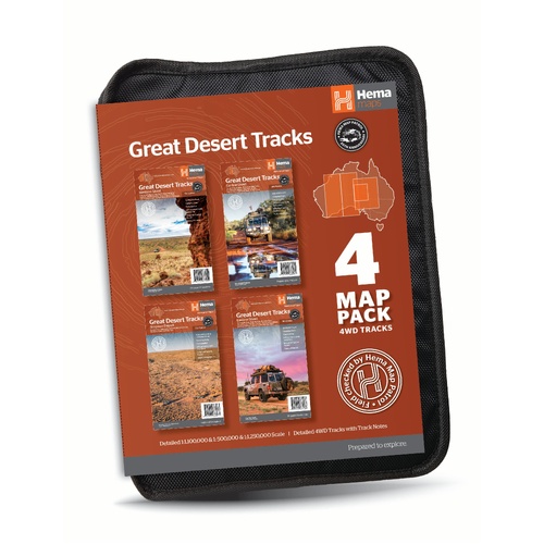
All four Great Desert Tracks maps in a tough map wallet.
$69.95 · View
Features
- ✓Covers beyond Derby to Norseman, Marble Bar to Halls Creek
- ✓1:1,250,000 scale
- ✓Roads and 4WD tracks field checked by the Hema Map Patrol
- ✓GPS surveyed roads and tracks
- ✓Distance markers and topographic relief
- ✓24-hour fuel, camping areas and caravan parks
- ✓Historical explorer routes
- ✓Desert travel advice, gear notes and contacts
- ✓Printed on durable, waterproof paper
Product Details
| SKU | 9781922668059 |
| Barcode # | 9781922668059 |
| Brand | Hema Maps |
| Shipping Weight | 0.0550kg |
| Shipping Width | 0.140m |
| Shipping Height | 0.006m |
| Shipping Length | 0.250m |