Hema Brisbane to Cairns Map - Featuring Major Tourist Drives (9th Edition)
In Stock - In Stock at Supplier - Item Ships in 2-5 business days
Special Order Item - Terms and Conditions apply.
Need it fast? Contact us to confirm lead times.
Pickup currently unavailable.
Buy Now, Pay Later.


DETAILS
Overview
The whole run up the Queensland coast
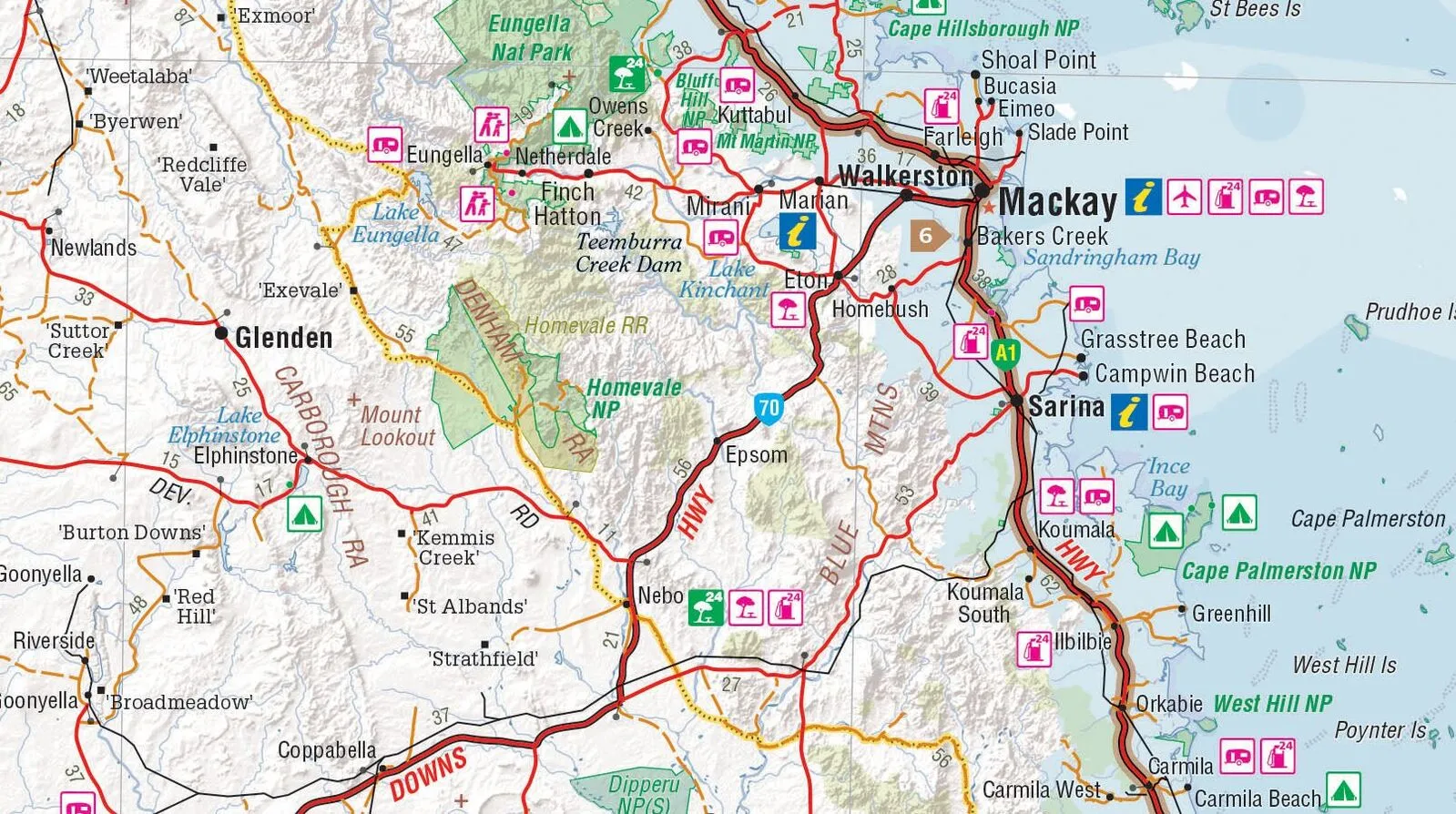
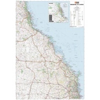
Heading north for the winter? Hema's Brisbane to Cairns map covers the full trip up the Queensland coast, with a Tourist Drives map to help you pick the scenic routes. Fuel, camping and rest areas, caravan parks and information centres are all marked, so it's easy to plan each day's drive.
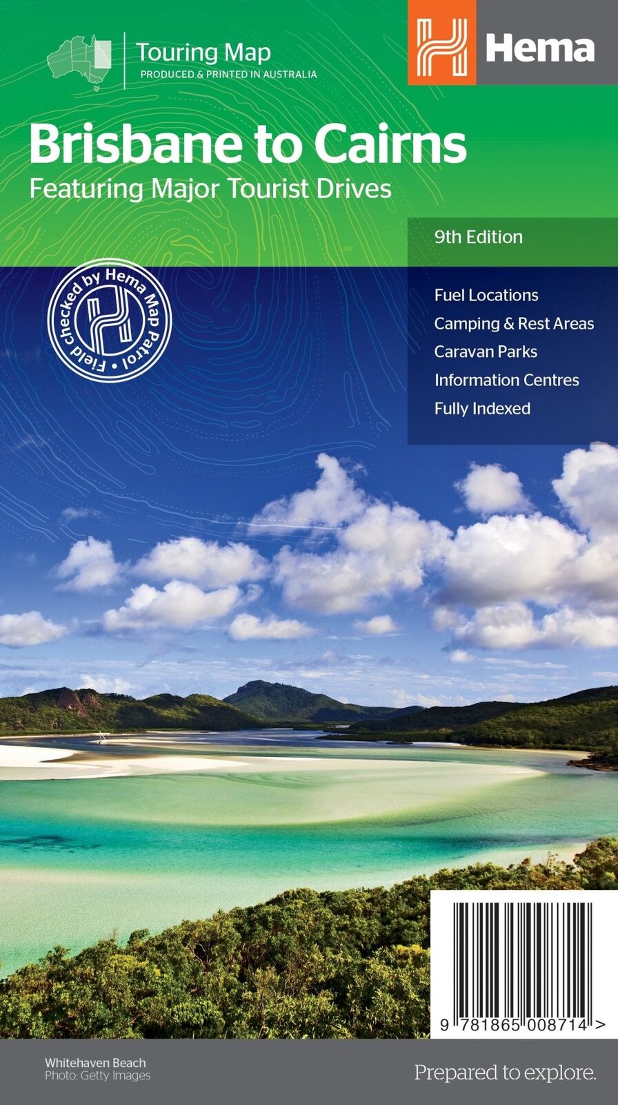
Hema Maps is Australia's trusted touring map maker. The cover carries Hema's Map Patrol field-checked seal, and the map is produced and printed in Australia.
What's on the map
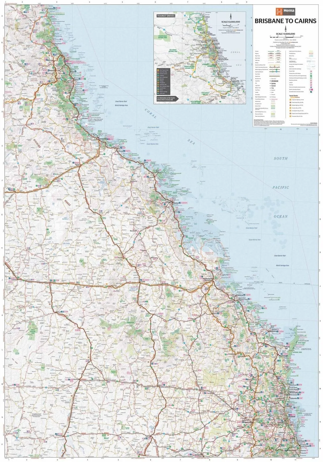
Brisbane to Cairns at 1:1,500,000
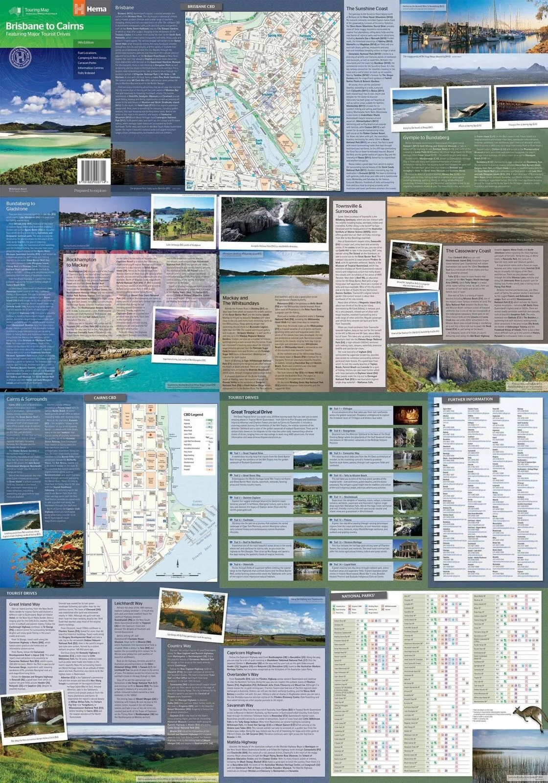
The main map traces the coast from Brisbane to Cairns and well inland, with an extra Tourist Drives map at 1:3,000,000 that picks out the major drives along the way. Distance charts and a full index help you work out each leg.
- ✓All major tourist drives
- ✓Fuel locations
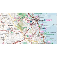
- ✓Camping and rest areas, caravan parks
- ✓Information centres, distance charts and index
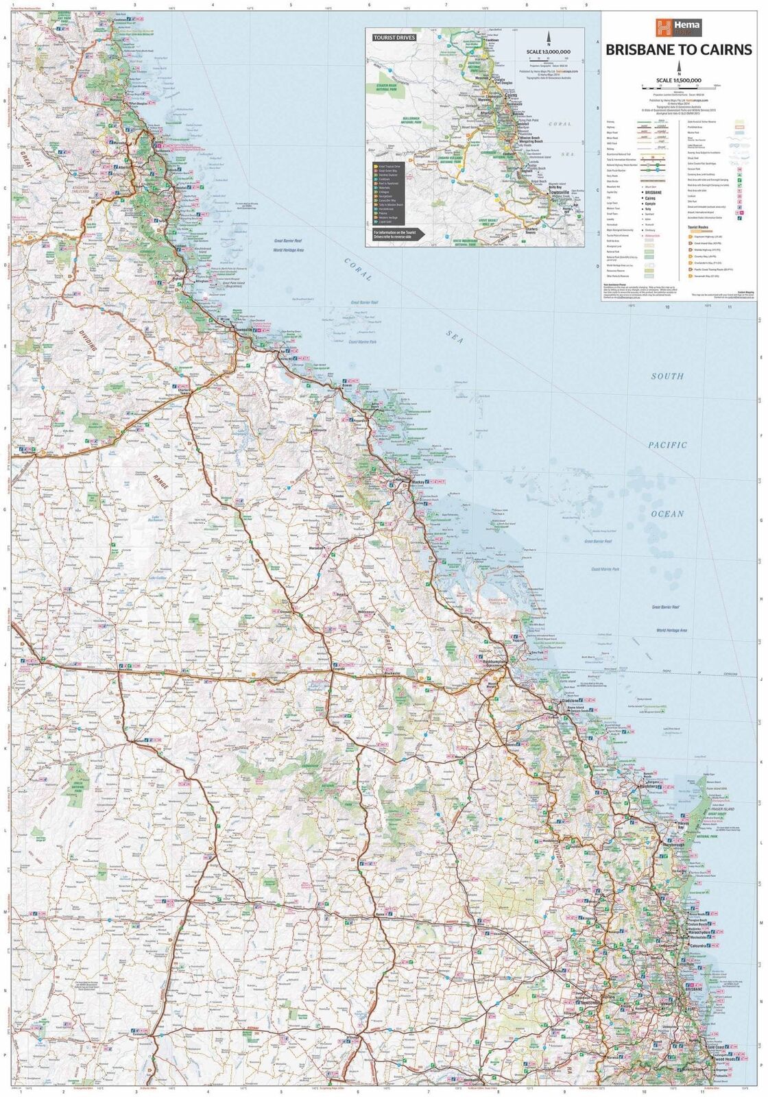
Plan before you go
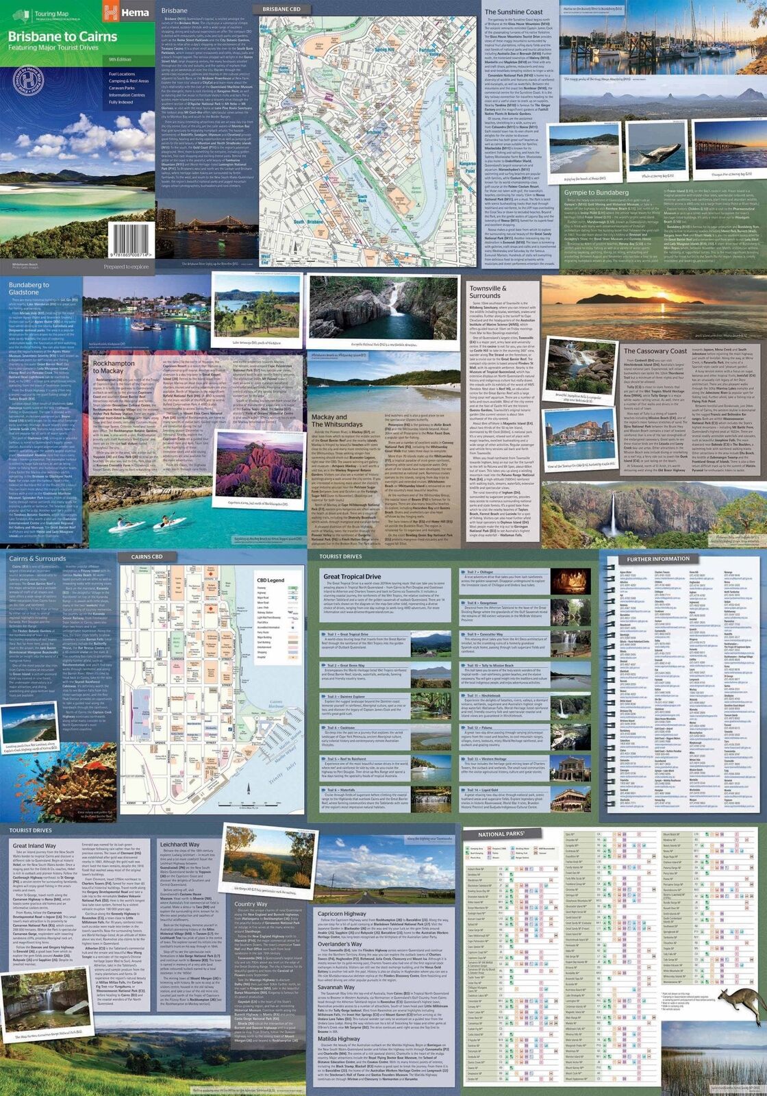
City maps and regional notes
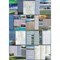
The reverse has CBD maps of Brisbane and Cairns, plus touring information for the Sunshine Coast, Gympie to Bundaberg, Bundaberg to Gladstone, Mackay and the Whitsundays, Townsville, the Cassowary Coast and Cairns.
- ✓Brisbane and Cairns CBD maps
- ✓Touring notes for seven coastal regions
Easy to read
Find the camp, the van park and the fuel
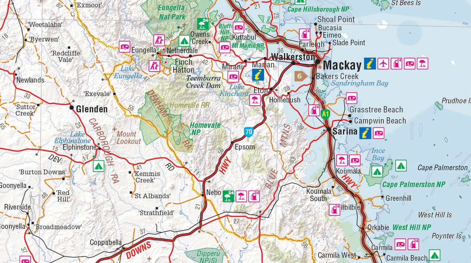
Clear symbols mark camping areas, caravan parks, fuel and information centres along the highway and the side roads, with national parks shaded so they stand out.
- ✓Clear symbols for camps, caravan parks and fuel
Frequently asked questions
What does the map cover?
The trip from Brisbane to Cairns at 1:1,500,000, with an extra Tourist Drives map at 1:3,000,000.
Does it include city maps?
Yes. There are CBD maps of Brisbane and Cairns on the reverse.
Does it show where to stay?
Yes. Camping and rest areas and caravan parks are marked, along with fuel and information centres.
Which edition is this?
This is the 9th edition (ISBN 9781865008714).
Pairs well with

The leg before: Sydney to Brisbane via the Pacific and New England Highways.
$15.95 · View

Going further? Waterproof map of Cape York and the Old Telegraph Track.
$15.95 · View
Features
- ✓Brisbane to Cairns at 1:1,500,000
- ✓Tourist Drives map at 1:3,000,000
- ✓All major tourist drives
- ✓Brisbane and Cairns CBD maps
- ✓Regional touring notes from the Sunshine Coast to Cairns
- ✓Fuel locations, camping and rest areas, caravan parks
- ✓Information centres
- ✓Distance charts, fully indexed
Product Details
| SKU | 9781865008714 |
| Barcode # | 9781865008714 |
| Brand | Hema Maps |
| Shipping Weight | 0.0800kg |
| Shipping Width | 0.140m |
| Shipping Height | 0.005m |
| Shipping Length | 0.250m |
Hema Maps has been mapping Australia since 1983, with touring and 4WD maps built from tracks its own teams have driven and GPS-surveyed. Hema Maps began in 1983, when Henry and Margaret Boegheim started laminating marine charts from their family home in South East Queensland, naming the business aft...
Find Out More